Near Great Esker Trail
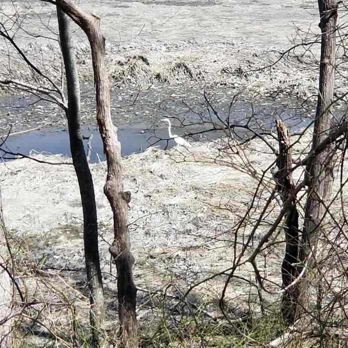
Egret waiting for the incoming tide
Near Great Esker Trail
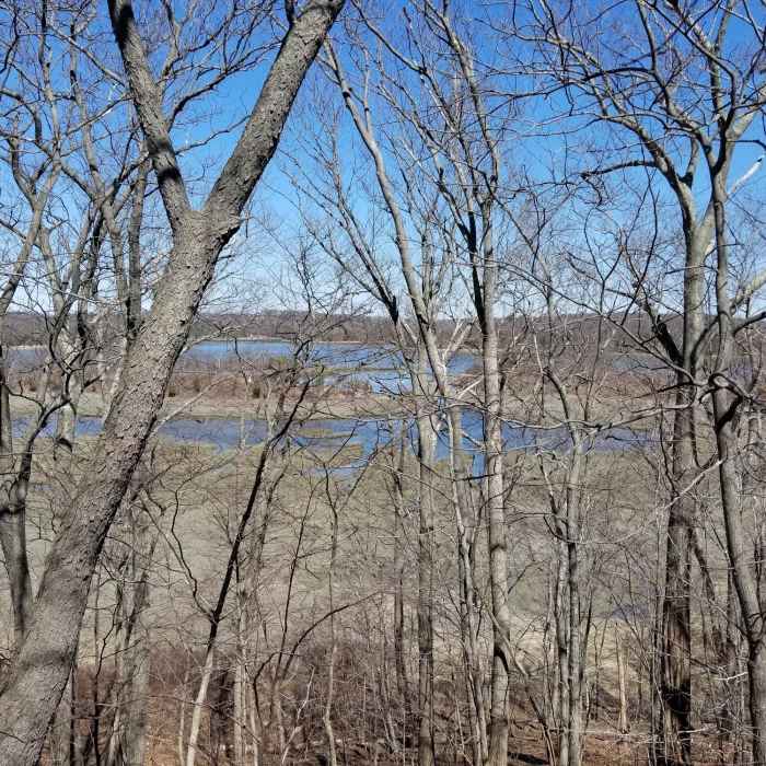
View of the Reversing Falls Marsh from the high point of the Great Esker
Near Great Esker Trail
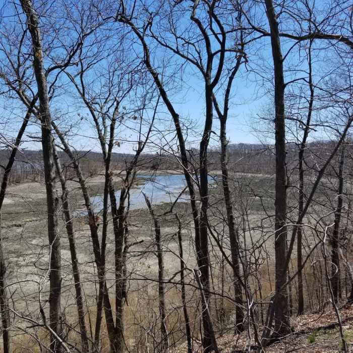
Looking down at the Reversing Falls Marsh
Near Great Esker Trail
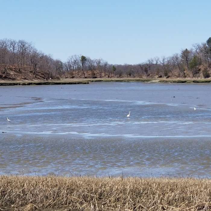
Egrets on the Weymouth Back River at low tide.

Looking for more photos?

View All Photos
Driving Directions
Hike Trail

Great Esker Trail

4.0 (1 Rating)
A trail along the ridge of the Great Esker.
1.9
mi
Distance
138
ft
Gain
moderate
Difficulty
BirdingFall ColorsLakeRiver/CreekSpringViewsWaterfallWildlife

Route Details

Flatter
Steeper
1.86mi
Distance
138ft
Elevation Gain
107ft
Elevation Loss
25%
Max Grade
97ft
High Point
-1ft
Low Point
Path Type
Point to Point
Description
This trail is an old road (paved) along the ridge of the Great Esker, North America's highest esker at 94 ft. which was created 12,000 years ago during the last glacial retreat. Automobiles are no longer allowed on this road. The first 0.5 miles are level and not all that interesting. At the 0.5-mile mark, the ascent to the top of the esker begins. At about the 0.85-mile mark there are connector trails to the Julia Road Playground parking lot which is at the end of Elva St. From there, the trail ascends to the highest point of the esker and then descends steeply towards the Osprey Overlook Park.

Route Conditions

Report Conditions
No Condition Reports
Report Conditions

Nearby Hike Routes

World's End Loop

Hike Route

World's End Loop

Birding
easy
3.04 mi
+218 ft
Wompatuck Loop

Hike Route

Wompatuck Loop

Birding
moderate
3.82 mi
+161 ft
Whitney Spur Rail Trail to Wompatuck Bikeway

Hike Route

Whitney Spur Rail Trail to Wompatuck Bikeway

Historical
easy
5.05 mi
+44 ft
Blue Hills Skyline Loop

Hike Route

Blue Hills Skyline Loop

Historical
moderate
5.09 mi
+710 ft
Whitney and Thayer Woods Loop

Hike Route

Whitney and Thayer Woods Loop

Birding
easy
3.59 mi
+163 ft
Franklin Park Loop

Hike Route

Franklin Park Loop

Birding
moderate
2.79 mi
+122 ft
Contributors
Shawn Holland
