Ready to explore this trail?
View Trail Map in AppOpen: June to September: 10 a.m. to 5 p.m., October to May: 12 p.m. to 4 p.m.
Path Type
Point to Point
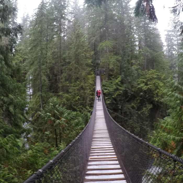
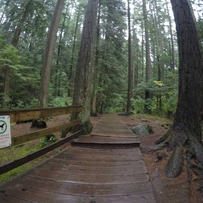
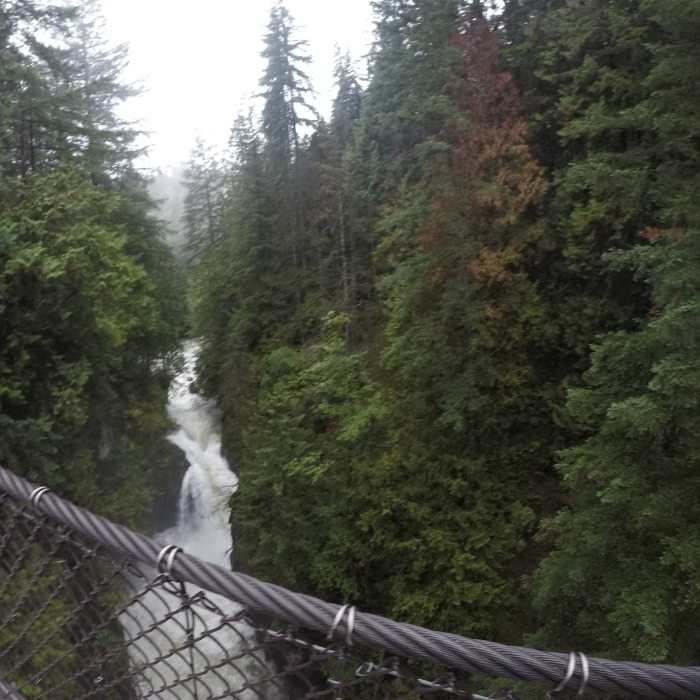
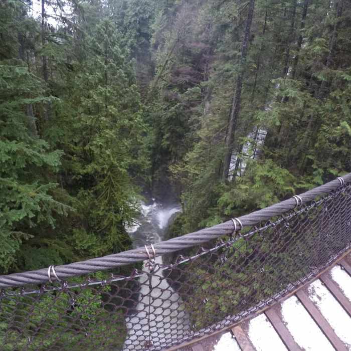
This trail starts at Dempsey Road. Follow the path as it winds its way down past the 30 Ft Pool, and to the Lynn Canyon Suspension Bridge and Falls. Once at the bridge, take a left on to the bridge. After you have crossed it, you'll take a right and follow the trail. Eventually, you'll pass a bridge (on the right), and Twin Falls. After this, take a left and follow the trail to Lillooet Rd. Here the trail crosses the road and continues to the east.
The next section of the Baden Powell trail is multi-use and open to bikes. It does it's job connecting a number of descending trails and climbing trails to allow hikers to move across the mountain. Note that past the Power Line to Baden Powell Connector the trail is closed to bikers.
On the eastern end of the trail, hiker will encounter a 2k section to Quarry Rock that is nearly always quite busy with hikers heading to the viewpoint. This portion of the trail is wider and allows passing, though it can still be challenging at the busiest times.
From the top of Quarry Rock, the trail is technical, fun, rolling. The 200m of elevation gain comes relatively easy given the gentle grade.
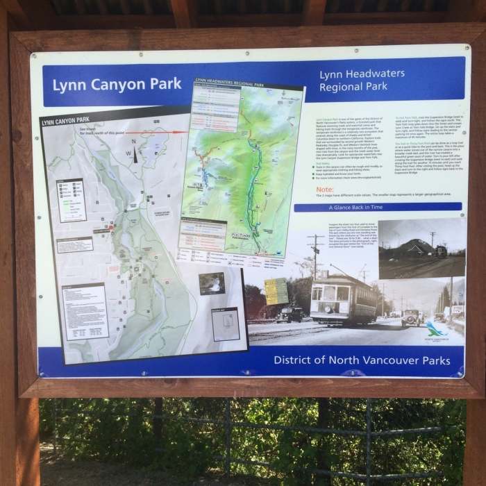
One other suggestion I would make is that there is a very big/nice parking lot further up (north) on Lillooet Rd., with a big map board and easy access to the Lynn Canyon Suspension Bridge.
On the Hiking Project site, in satellite mode, the big parking lot shows up as does the trail leading down to the suspension bridge and the Lillooet Rd Trail leading back out to the easy trail/path along the road. In satellite mode, you can just barely see the small parking area (it's head-in parking right off the road).
No Condition Reports
Contributors

