

Ready to explore this trail?
View Trail Map in AppPath Type
Loop
Located just over an hour from Portland in the Mount Hood Wilderness, this 18.7-mile loop highlights Burnt Lake and Paradise Park. Best split over two or three days, the route features steep climbs, rough trails, and an elevation gain of approximately 4,340 feet, reaching a maximum elevation of 5,796 feet. Alternatively, Paradise Park can be accessed via a day trip from Timberline Lodge.
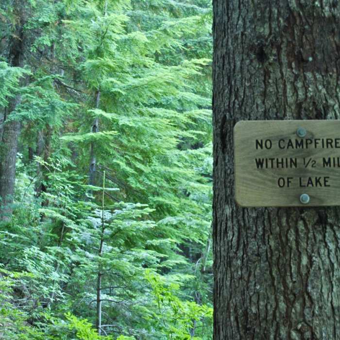
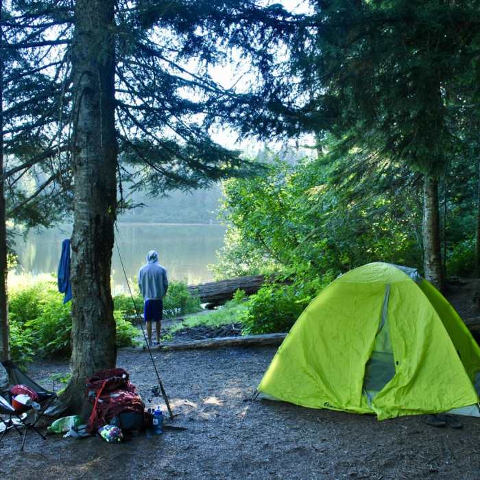
Backcountry campsites are located along the route, with the first options found three miles in at Burnt Lake. Burnt Lake offers views of Mount Hood reflected in its clear waters and is a popular spot for swimming and fishing for rainbow trout. Five designated campsites are situated along the lake, primarily on the west side. Beyond Burnt Lake, campsites are scarce for the next 6.5 miles.
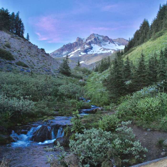
The ascent from Burnt Lake to Paradise Park can be challenging, particularly along the eastern portion of the Zigzag Mountain Trail, which is brushy and often has fallen trees. Above the tree line, the route opens into the alpine meadows of Paradise Park. This area features diverse landscapes, including colorful wildflower meadows, glacial streams, waterfalls, and sandy dunes, all set against up-to-date, close-up views of Mount Hood.
Paradise Park offers numerous flat, shaded backcountry campsites, particularly in the northern section near Lost Creek. A popular campsite sits on a 20-foot cliff overlooking Lost Creek with views of Mount Hood near the intersection of the creek and the Paradise Park Loop Trail 757. From Paradise Park, the trail descends gradually through the forest to the Ramona Falls Trailhead, from which it is a two-mile walk along forest roads to return to the Burnt Lake Trailhead.
No Condition Reports
Contributors

