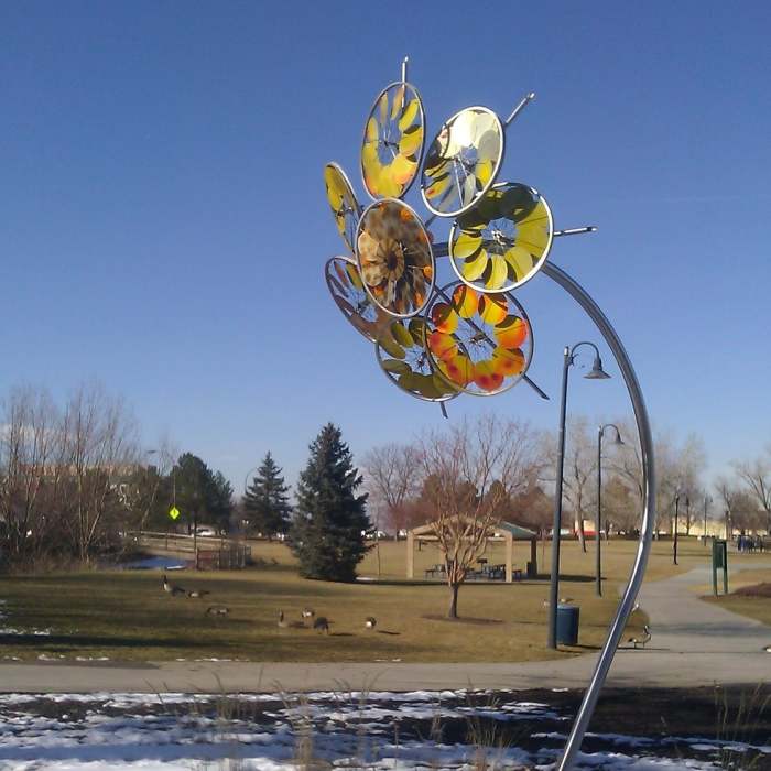
Near E. B. Raines Park to Huron Connector
Art Installation just off the Farmers Highline Canal Trail.

Looking for more photos?

View All Photos
Driving Directions
Hike Trail

E. B. Raines Park to Huron Connector

2.0 (1 Rating)
A paved path connecting E.B. Raines Jr. Park with Huron/120th Street via a tunnel under I-25.
0.8
mi
Distance
8
ft
Gain
easy
Difficulty

Route Details

Flatter
Steeper
0.8mi
Distance
8ft
Elevation Gain
27ft
Elevation Loss
10%
Max Grade
5,406ft
High Point
5,361ft
Low Point
Path Type
Point to Point
Description
From E.B. Raines Park and the Farmers Highline Canal Trail, cross Community Center Drive and hike past the Thornton Recreation Center. Find the paved path which descends northward toward the highway. This dives into a well-decorated tunnel which runs straight to the other side of the highway. Follow the paved path around the Wagonwheel Park & Ride. The path dead-ends at Huron just south of 120th Street.

Route Conditions

Report Conditions
No Condition Reports
Report Conditions

Nearby Hike Routes

Jaycee to Carpenter Park Lakes Loop

Hike Route

Jaycee to Carpenter Park Lakes Loop

Birding
easy
3.29 mi
+73 ft
Lac Amora-Ruth Roberts Loop

Hike Route

Lac Amora-Ruth Roberts Loop

Birding
moderate
5.57 mi
+251 ft
Coyote Run - Harper Lake - Davidson Mesa - Louisville Res

Hike Route

Coyote Run - Harper Lake - Davidson Mesa - Louisville Res

Lake
easy
8.08 mi
+273 ft
City Park Loop

Hike Route

City Park Loop

Family Friendly
easy
3.27 mi
+41 ft
Denver Zoo

Hike Route

Denver Zoo

Birding
easy
1.06 mi
+27 ft
Sloan's Lake Loop Trail

Hike Route

Sloan's Lake Loop Trail

Dogs Allowed
easy
2.57 mi
+0 ft
Contributors
Charles Danforth
