

Ready to explore this trail?
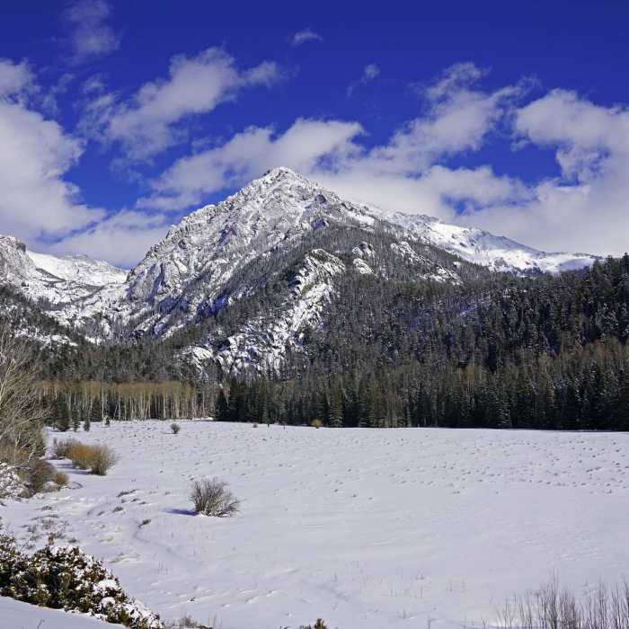
View Trail Map in AppThis trailhead isn't too far outside of the town of Crestone, so winter access isn't terrible.
Path Type
Point to Point
In the San Luis Valley, take CO 17 to the town of Moffat. South of town, look for a sign for Crestone. Turn east on the RD T road. You'll soon see a USFS sign for the South Crestone Trailhead, 15 miles ahead. Drive 11.4 miles to a junction and turn left, following the main road into the town of Crestone. Once in town, turn right onto Galena Ave. It will go uphill for a short bit and then turn to dirt. From here, it's a hard 2WD/easy 4WD 2 miles to the Willow Creek trailhead.
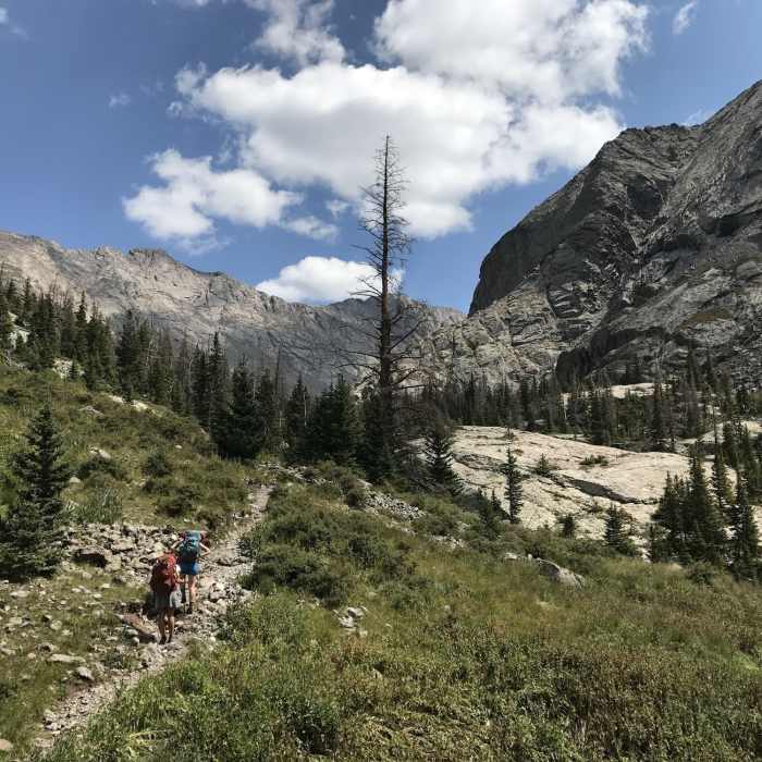
From the trailhead, hike a short distance to a junction. Follow signs for Willow Creek and take the trail to the right. Pass through some meadows and cross some streams before coming to a set of large switchbacks in the forest. About 1.25 miles from the trailhead crest out on a small hill, briefly leaving the forest. Much of the route can be seen ahead.
Descend briefly along some clearings before returning to dense forest. Follow switchbacks on the clear class 1 trail from around 10,000 to 10,800 ft. Up to this point, the Willow Lake Stream has been below you and to your right. Cross the stream at around 10,900 ft and switchback up a headwall of talus to reach 11,100 ft.
Re-enter the forest and cross another stream. From here, it's under a mile to the lake. Continue up the trail and hike up a brief class 2 section of boulders embedded in the trail. Top out and pass through a camping area just west of the lake. There are many small offshoot trails toward campsites, so make sure to stay on the main trail. Finally, come to the lake at around 11,400 ft.
To continue toward Kit Carson and Challenger Peaks, follow a trail around the left side of the lake and above the waterfall, 200 ft above the lake's east end. There are incredible views to be had here, even if the mountains themselves aren't your cup of tea.
No Condition Reports
Contributors

