Near Cougar Climb
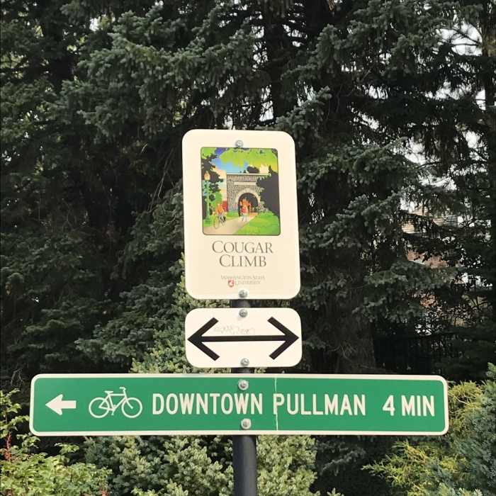
Cougar climb sign

Looking for more photos?

View All Photos
View Map
Driving Directions
Hike Trail

Cougar Climb

2.0 (1 Rating)
Paved bike route from downtown Pullman to WSU's campus.
0.3
mi
Distance
79
ft
Gain
moderate
Difficulty

Route Details

Flatter
Steeper
0.3mi
Distance
79ft
Elevation Gain
0ft
Elevation Loss
15%
Max Grade
2,444ft
High Point
2,365ft
Low Point
Path Type
Point to Point
Description
This is a paved bike route that was created specifically to be a convenient and easy ride for students that utilizes switchbacks to connect WSU's campus to downtown. In addition to this route, there is a series of stairs that connect also connects these areas. While primarily for students on bikes, this is also part of Pullman's Trail and Pathways which are all non-motorized multi-use trails. This trail begins just past Reaney Park. While it stays with the walking-only path for a bit, it soon separates for a switchback. It then returns to the walking-only path at the replica of the historic WSU arch. Finally, it diverges once again and completes the rest of its route to Dana Hall and the rest of campus.

Route Conditions

Report Conditions
No Condition Reports
Report Conditions

Nearby Hike Routes

Pullman Pathways Loop

Hike Route

Pullman Pathways Loop

River/Creek
easy
7.68 mi
+311 ft
Primitive Trail

Hike Route

Primitive Trail

Views
moderate
3.79 mi
+928 ft
Asotin Cr., S. Pinkham, N. Pinkham Loop

Hike Route

Asotin Cr., S. Pinkham, N. Pinkham Loop

Fall Colors
strenuous
21.22 mi
+3,137 ft
Feather Creek Loops

Hike Route

Feather Creek Loops

moderate
16.79 mi
+2,683 ft
Elk Creek Falls

Hike Route

Elk Creek Falls

Birding
moderate
0.59 mi
+74 ft
Oregon Butte Lookout

Hike Route

Oregon Butte Lookout

Birding
moderate
5.54 mi
+1,563 ft
Contributors
Daniel McCloskey
