Ready to explore this trail?
View Trail Map in AppPath Type
Loop
This loop or parts of it can be accessed from any of the parking areas or side streets along it. This description chooses to use a parking area along Highway 5 just outside Waterton Townsite, as the start and end points of this loop.
Going clockwise around this loop, after parking, head towards the road into town and follow it, hugging the lakeshore on the hiking path. The path soon veers left as it continues along the lakeshore. Here, this is Emerald Bay of Upper Waterton Lake. Continue on the path as it winds around along the lake. The boat cruise company and boat launch is soon passed, followed by other businesses catering to water recreation on the lake.
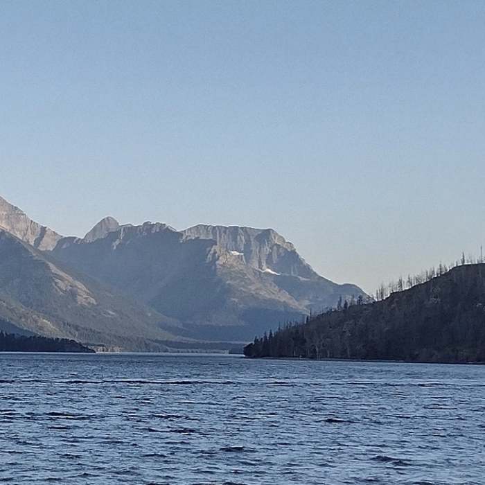
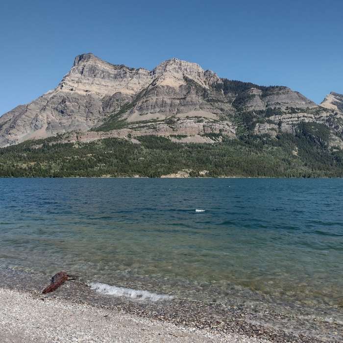
After about 3/4 mile, still along the lake, the businesses give way to residences and then park-like spaces to the right where the Townsite campground is. To the left are the lake's beaches. There are great views of the lake and surrounding mountains across the lake and all the way down the lake.
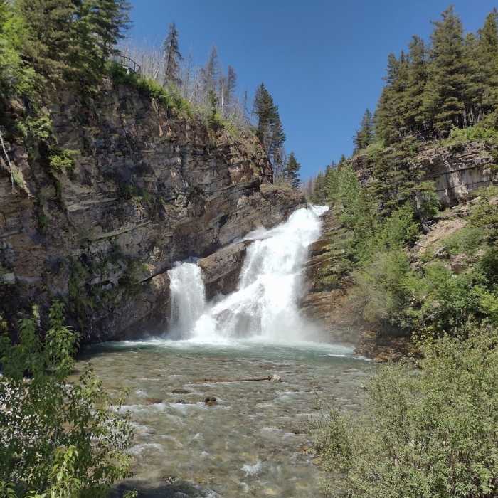
At the 1.4 mile mark, the path crosses Cameron Creek on a sturdy bridge near where the creek empties into the lake. The path then turns right/north to follow Cameron Creek upstream for about a half mile. This stretch runs through the park-like campground and brings one to Cameron Falls. There are benches here to sit and admire the falls. Also a pedestrian bridge across Cameron Creek here, is another great place to view the falls.
When done viewing the falls, cross the pedestrian bridge and continue on along Evergreen Avenue that joins Highway 5 after 0.4 miles. Continue along Highway 5 for a short 0.2 miles to return to the parking area where this description started.
No Condition Reports
Continental Divide Trail: Montana-Idaho Section 30C
Continental Divide Trail: Montana-Idaho Section 30C
Contributors

