Near Crest Trail (#25)
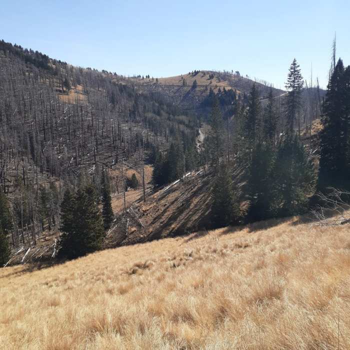
View overlooking late fall landscape, golden grass, fire damaged trees, and pines.
Near Crest Trail (#25)
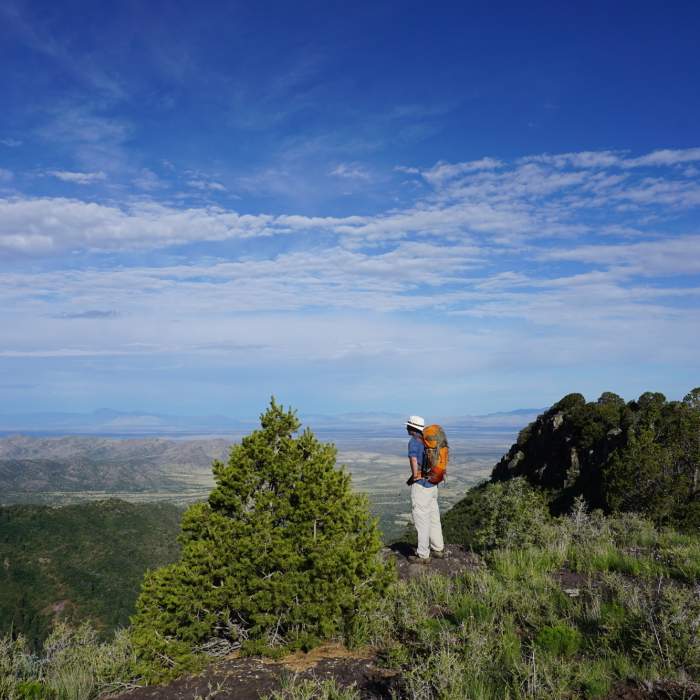
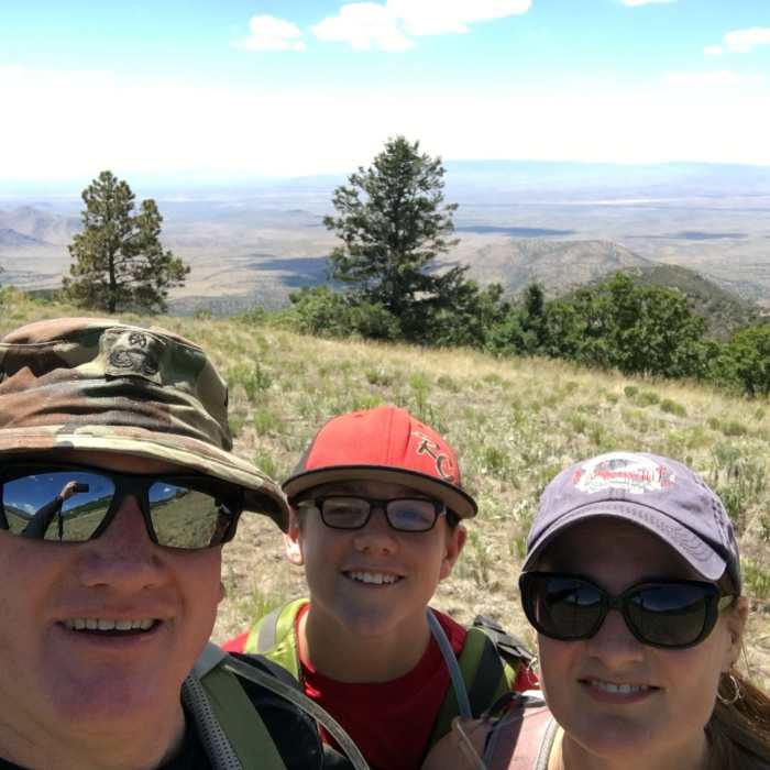
Soaking up the view from the Crest.
Near Crest Trail (#25)
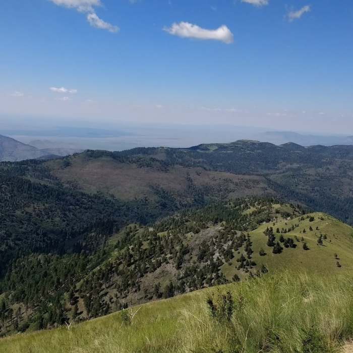
Topping out on White Horse Hill after hiking Three Rivers.
Near Crest Trail (#25)
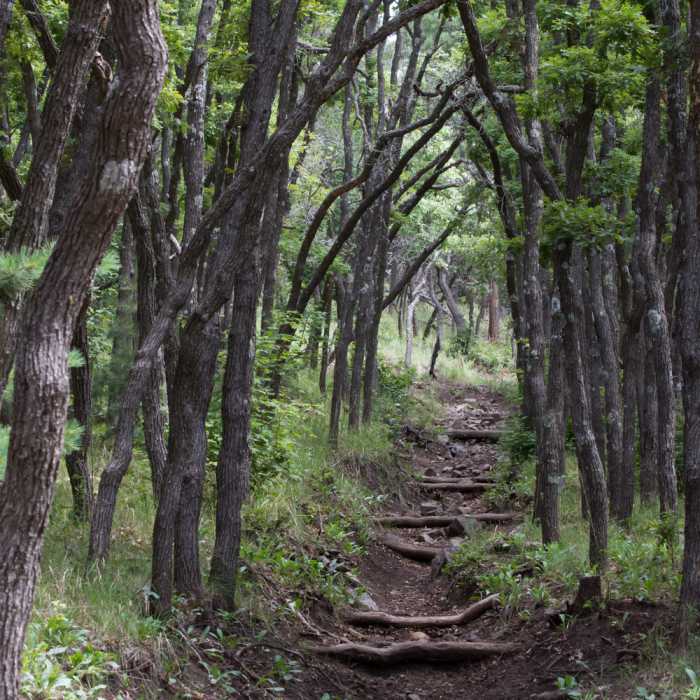
Beautiful oak grove near the top of the Turkey Canyon Trail.
Near Crest Trail (#25)
Day hike up Argentina Canyon to Crest Trail.

Looking for more photos?

View All Photos
View Map
Driving Directions
Hike Trail

Crest Trail (#25)

4.8 (5 Ratings)
Hike above the trees for 20+ miles of non-stop, panoramic views.
20.9
mi
Distance
5,113
ft
Gain
moderate
Difficulty
Commonly BackpackedFall ColorsViewsWildflowers
Access Issues
Take plenty of water. The main springs (Turkey Canyon, Argentina, Spring Cabin, Bonito, and Ice) are unreliable. Above the treeline, weather can change quickly. Be prepared for sudden storms.

Route Details

Flatter
Steeper
20.87mi
Distance
5,113ft
Elevation Gain
4,638ft
Elevation Loss
35%
Max Grade
11,225ft
High Point
8,784ft
Low Point
Path Type
Point to Point
Description
This is the Crest Trail (#25) in the White Mountain Wilderness from end to end, starting just below Nogal and ending at the Monjeau Trailhead. Much of the trail is above treeline with panoramic views in all directions. The trail is easy to follow (after the snow melts). The first half is relatively flat, with moderate climbs and drops as the trail crosses from one drainage to another. At Bonito Spring, the trail climbs steeply up the flank of White Horse Hill and continues to climb until it turns east toward Monjeau Peak. The trail from Buck Mountain to Monjeau crosses through forest burned off in the 2012 Little Bear Fire. Although this is doable as a day-hike, spreading the hike over two or three days will make it more manageable. There are many excellent campsites just off the trail.

Route Conditions

Report Conditions
No Condition Reports
Report Conditions

Nearby Hike Routes

Malpais Nature Trail

Hike Route

Malpais Nature Trail

Views
easy
1 mi
+54 ft
Petroglyph Trail

Hike Route

Petroglyph Trail

Dogs Allowed
easy
1.84 mi
+230 ft
Fresnal Canyon Rails-to-Trails

Hike Route

Fresnal Canyon Rails-to-Trails

Family Friendly
moderate
8.74 mi
+1,000 ft
Rim Trail Out-and-Back

Hike Route

Rim Trail Out-and-Back

Birding
strenuous
22.59 mi
+3,671 ft
Alamo Canyon Loop

Hike Route

Alamo Canyon Loop

River/Creek
strenuous
5.69 mi
+1,277 ft
Alkali Flat Trail

Hike Route

Alkali Flat Trail

Views
moderate
4.61 mi
+279 ft
Contributors
Papa Murph
