Ready to explore this trail?
View Trail Map in AppPath Type
Point to Point
Right from the outset you face your challenge: a 1,600-foot climb to the top of Mount Tremblant. The trails on this side of the mountain are full of pines providing a soft pine floor, but fallen trees, boulders, and bogs can be expected.
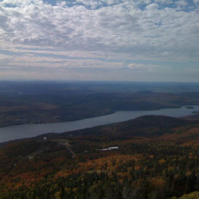
Near the midway point of your climb you can catch your breath as you'll have an opportunity to look back at the village of Tremblant (nearly 1,000 feet below you) when you pass over a ski slope followed by a brief level loop around a skiing outpost. Then, back to the climb with several views of the village and lake below (again at slope crossings) before reaching the end of the trail and a beautiful view from nearly 2,000 feet above it all.
No Condition Reports
Contributors

