Ready to explore this trail?
View Trail Map in AppRegional Classic
A must do route for the area handpicked by local experts.
The trail enters the Scapegoat Wilderness, where motorized vehicles and bicycles are prohibited. Wilderness group sizes are limited to 15 people and 35 head of stock. Due to grizzly bear activity, food storage regulations are in effect, requiring all food and attractants to be hung or stored in approved bear-resistant containers. Stock users must use certified weed-seed-free forage. The trailhead is accessible via Forest Road 5518, a gravel road suitable for standard passenger vehicles, and features parking with stock facilities. No fees or permits are required for day use, though visitors should register at the trailhead kiosk.
Path Type
There and Back
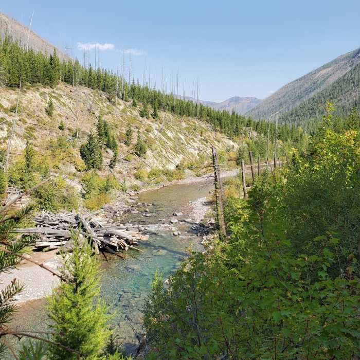
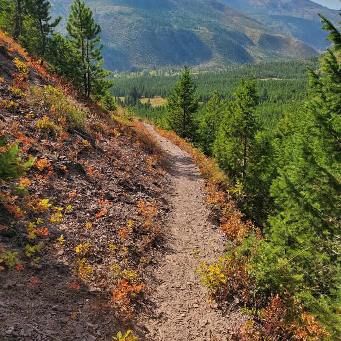
The Hobnail Tom Trail (Trail #32) is a scenic 7.3-mile route following the North Fork Blackfoot River canyon into the Scapegoat Wilderness. Starting from the trailhead, the path features a relatively gentle grade with minor rolling inclines, ascending from an elevation of approximately 4,736 feet to a maximum of 5,544 feet. The trail passes through sections of forest recovering from the 2017 Rice Ridge Complex fires, offering views of returning plant life, wildflowers, and seasonal huckleberries.
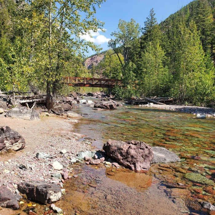
The route leads to the historic North Fork Cabin, located about seven miles from the trailhead. Robust footbridges cross the crystal-clear waters of the North Fork Blackfoot River, which is well-known for bull trout angling. The trail accommodates both hikers and stock users, with some narrow sections requiring yield awareness for livestock traffic.
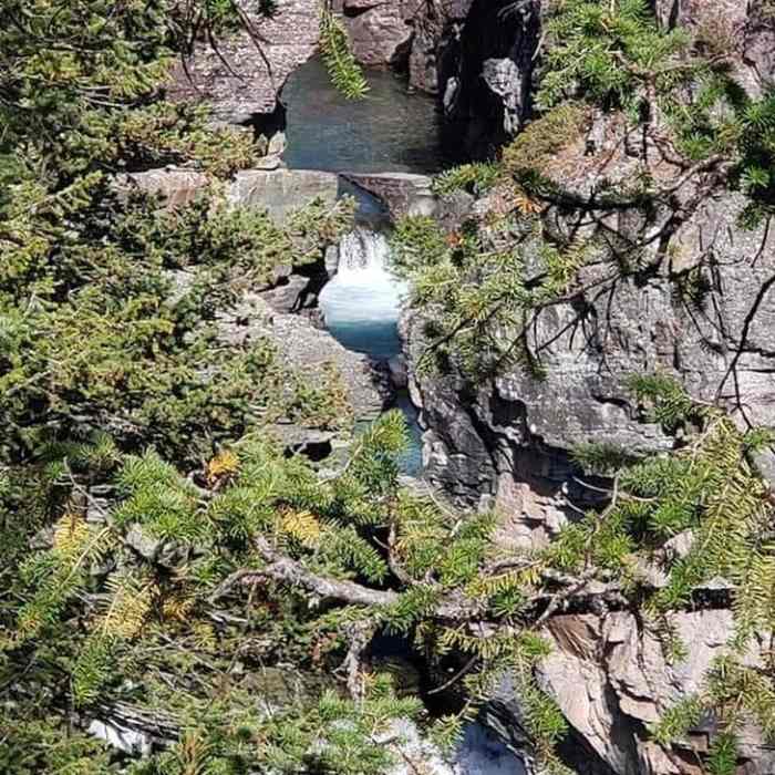
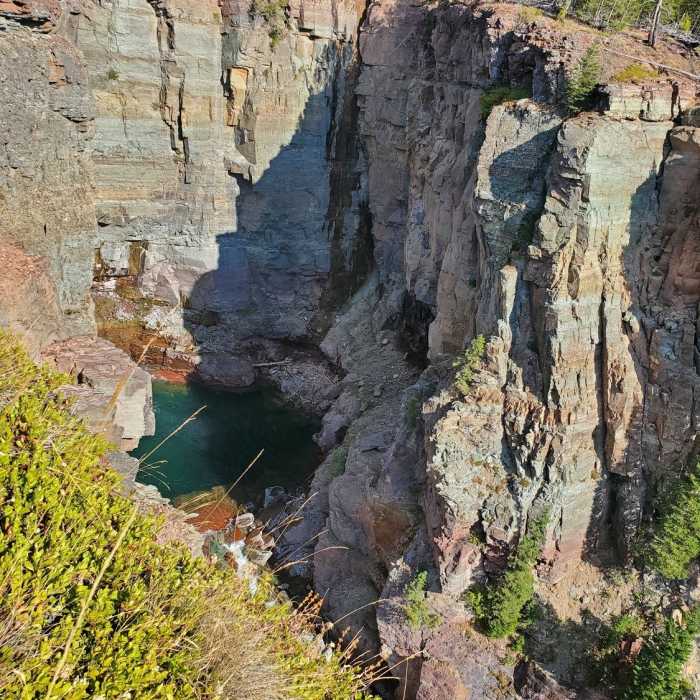
Just beyond the cabin area, the trail offers views of the North Fork Falls from the cliffs above. The waterfall is particularly robust during the spring runoff.
No Condition Reports
Continental Divide Trail: Straight Creek Alternate
Continental Divide Trail: Straight Creek Alternate
Continental Divide Trail: Montana-Idaho Section 24
Continental Divide Trail: Montana-Idaho Section 24
Continental Divide Trail: Montana-Idaho Section 22
Continental Divide Trail: Montana-Idaho Section 22
Contributors

