Ready to explore this trail?
View Trail Map in AppPath Type
Point to Point
This 8.3 mile trail begins were the DeLacy Creek Trail reaches the northeast corner of Shoshone Lake and ends at an intersection with the Shoshone Lake Trail on the west side of the lake, near Shoshone Geyser Basin.
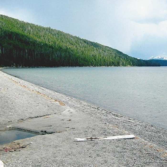
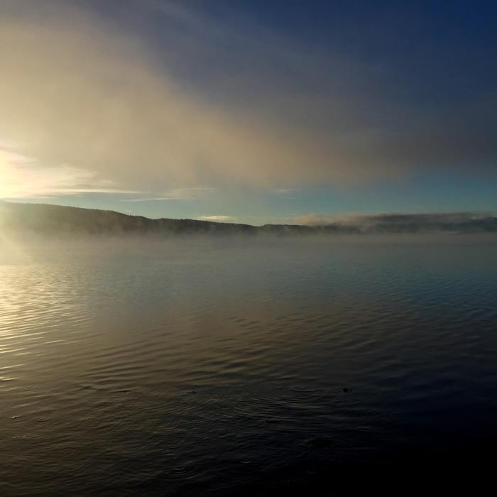
From the DeLacy Creek Trail, you follow the beautiful beach west across the north end of Shoshone Lake. Youll have little trouble negotiating the crossing of DeLacy Creek. The first 2.5 miles along the lakeshore are the main attraction of this trail. Youll enjoy the finest views hikers can get of the lake, which is best experienced by canoe. Along the way, you'll pass several excellent campsites (8S2 & 8S3). Shoshone Lake, at 8,050 acres, is the second largest lake in the park and is the largest backcountry lake in the lower 48. Its deep too, with a maximum depth of over 200 feet. Fishermen try their hand at catching a healthy population of brown, lake, and brook trout.
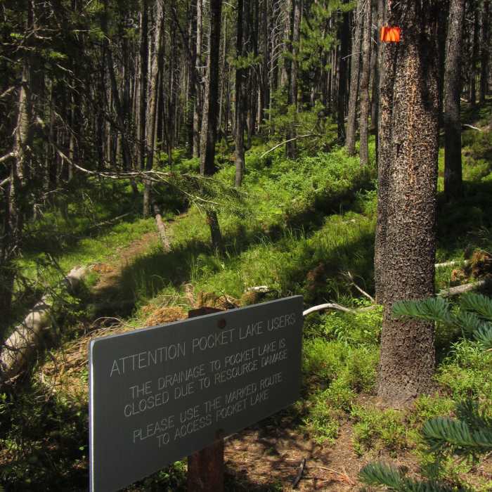
At the 2.1-mile mark the North Shore Trail passes a junction with the Pocket Lake Trail, a fishermans spur trail that climbs 400 feet to a small lake. At the 2.5-mile mark the trail swings away from the shore and enters the trees. From here the North Shore Trail travels 5.8 more miles through fairly uninteresting lodgepole forests.
At the 4.3-mile mark the trail crosses a number of tiny creeks. If you look to the left (south) you should be able to see the lake. A short off-trail side trip can be taken to Shoshone Lake and on to Windy Point, the narrowest spot on the lake. First, cross the small meadow to reach the lake. Then follow the shoreline 0.4 mile to your left (southeast) to reach the point, where youll find several canoe campsites. From here, the views of the western section of the lake are superb.
As you continue along the North Shore Trail, at the 5-mile mark youll pass three short spur trails. The first two lead to backcountry campsites (8R2 & 8R3) and the third leads to the Cove Patrol Cabin. Each spur affords more nice views of the lake.
From the Cove Cabin Trail, youll re-enter the lodgepole forest and continue another 3 miles to the end of the North Shore Trail at a junction with the Shoshone Lake Trail (near the end, passing another spur trail to campsite 8R5). From the junction with the Shoshone Lake Trail, to your left (south), less than 1/4 mile away, lies Shoshone Geyser Basin. To your right (north) the trail leads 9 miles to Old Faithful.
Thanks to guidebook author, Tom Carter, for sharing this trail description. To learn more about visiting Yellowstone, check out his book, Day Hiking Yellowstone.
No Condition Reports
Contributors

