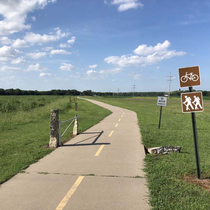
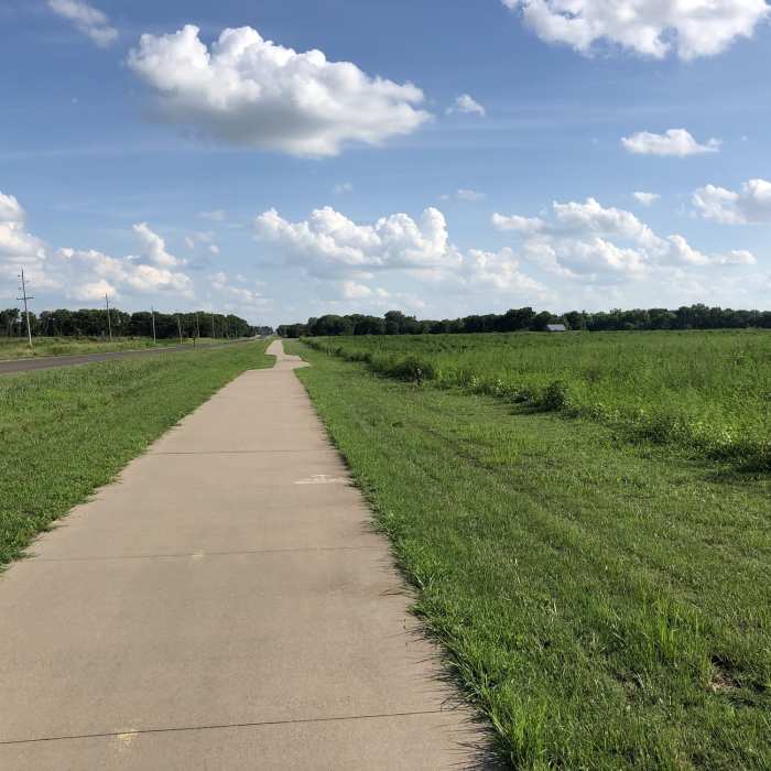
Near Chase County Community Connector
Connecting path between two cities, Cottonwood Falls and Strong City.
Near Chase County Community Connector
Connecting path between two cities, Cottonwood Falls and Strong City.

Looking for more photos?

View All Photos
Driving Directions
Hike Trail

Chase County Community Connector

3.0 (1 Rating)
This trail connects Cottonwood Falls and Strong City.
0.7
mi
Distance
22
ft
Gain
easy
Difficulty
Waterfall

Route Details

Flatter
Steeper
0.72mi
Distance
22ft
Elevation Gain
26ft
Elevation Loss
5%
Max Grade
1,181ft
High Point
1,152ft
Low Point
Path Type
Point to Point
Description
This is a paved path connecting the two cities and ends at the Cottonwood River where there is a very picturesque waterfall.

Route Conditions

Report Conditions
No Condition Reports
Report Conditions

Nearby Hike Routes

Tallgrass Prairie National Preserve

Hike Route

Tallgrass Prairie National Preserve

Views
easy
15.35 mi
+779 ft
Trail of Two Cities

Hike Route

Trail of Two Cities

Family Friendly
easy
8.51 mi
+139 ft
Santa Fe Lake - North Trail

Hike Route

Santa Fe Lake - North Trail

Family Friendly
moderate
4.11 mi
+28 ft
North Chisholm Creek Park

Hike Route

North Chisholm Creek Park

Birding
easy
2.42 mi
+0 ft
Chisholm Creek Park Nature Trail Loop

Hike Route

Chisholm Creek Park Nature Trail Loop

Birding
moderate
3 mi
+14 ft
Lakeside Park and Centennial Lake Paths

Hike Route

Lakeside Park and Centennial Lake Paths

Family Friendly
easy
5.36 mi
+15 ft
Contributors
Andy Cramb
