Near Christmas Fern Trail
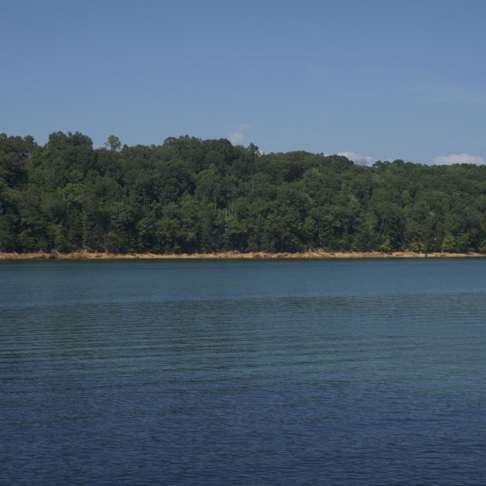
View of Norris Lake from the the staircase.
Near Christmas Fern Trail
Along the trail, there are common use paths down to the lake shore.
Near Christmas Fern Trail
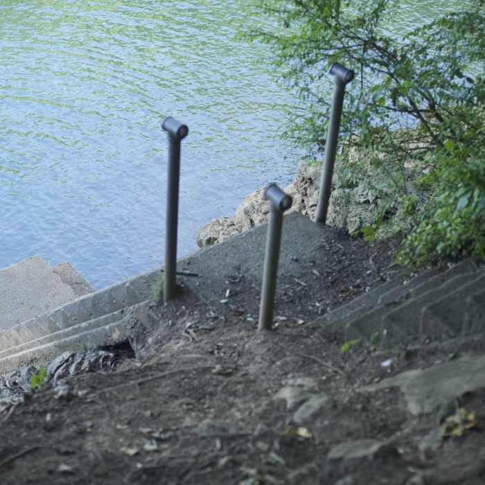
If you take the trail to the left and drop down to the lake, this set of stairs goes down to the lake where you can enjoy views.
Near Christmas Fern Trail
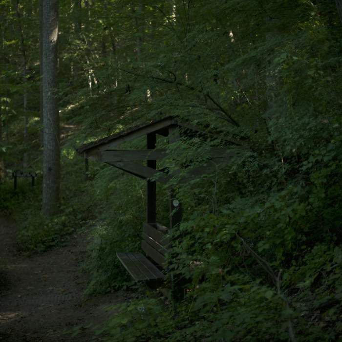
The Storybook Trail ends at a bench where you can take a break before heading back to your car or exploring the Christmas Fern Trail.
Near Christmas Fern Trail
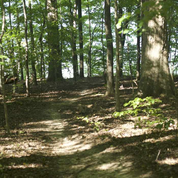
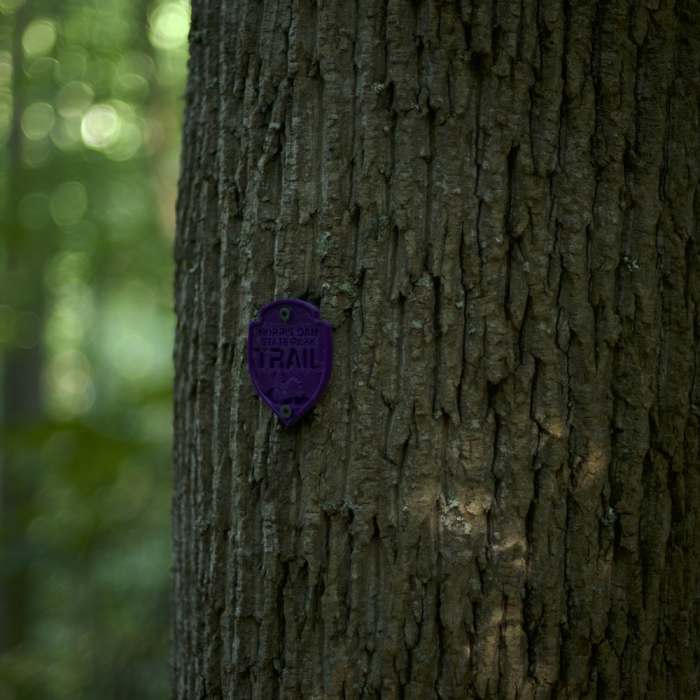
The trail is marked by purple blazes as it winds its way through the woods.

Looking for more photos?

View All Photos
Driving Directions
Hike Trail

Christmas Fern Trail

3.0 (1 Rating)
Hike down from the old CCC Camp and Tea Room through the forest with good lake views.
0.5
mi
Distance
126
ft
Gain
moderate
Difficulty
BirdingLakeLakefront

Route Details

Flatter
Steeper
0.46mi
Distance
126ft
Elevation Gain
135ft
Elevation Loss
25%
Max Grade
1,198ft
High Point
1,066ft
Low Point
Path Type
Loop
Description
To access the Christmas Fern Trail, drive into the East area of the park and drive up to the parking lot beside the Tea Room in the old CCC Camp. The trail descends into the woods beside the team room and quickly comes to a fork. The trail is marked with a purple marker to differentiate it from other trails in the area. You can either descend gently by continuing straight ahead or descend more steeply to the right via a set of stairs. Along this path down the hill, you can see a huge variety of species in a short distance. Christmas ferns cover the forest floors, and there's a canopy of Umbrella Magnolia. Also, find random patches of delicious raspberries when in season. If you go to the right, the trail drops closer to the lake via a set of log steps. The trail comes to a junction with the Tall Timbers Trail which goes off to the right. Turning to the left, the trail winds through the woods along the lake until it comes to the intersection with the Norris Dam Storybook Trail. Obscured views of the lake can be enjoyed along this section of the trail and there are some frequent use trails that lead to the shore in places. There is a bench here where you can sit and enjoy the peacefulness of the woods. From here the trail narrows a bit as the trail turns back to the left and starts to climb steadily back up the hill. The trail eventually emerges at the previous split and you have a short distance until you get back to your vehicle.

Route Conditions

Report Conditions
No Condition Reports
Report Conditions

Nearby Hike Routes

Big Ridge State Park Tour

Hike Route

Big Ridge State Park Tour

Fall Colors
moderate
5.16 mi
+1,006 ft
Sharp's Ridge Loop

Hike Route

Sharp's Ridge Loop

Birding
moderate
3.48 mi
+479 ft
UT Arboretum 3-Mile Loop

Hike Route

UT Arboretum 3-Mile Loop

Fall Colors
moderate
2.98 mi
+350 ft
House Mountain Loop

Hike Route

House Mountain Loop

Birding
strenuous
4.05 mi
+1,170 ft
Debord + Emory Gap Falls

Hike Route

Debord + Emory Gap Falls

Waterfall
easy
2.49 mi
+455 ft
North & South Old Mac Trail

Hike Route

North & South Old Mac Trail

Commonly Backpacked
strenuous
7.32 mi
+1,978 ft
Contributors
David Hitchcock
