Near Toccoa River Road FS 333
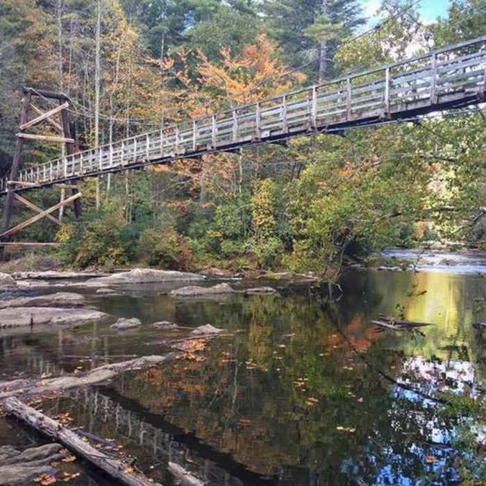
Toccoa Swinging Bridge - Photo Credit Samantha Smith Taylor.
Near Toccoa River Road FS 333
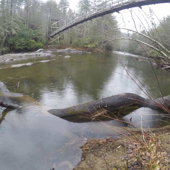
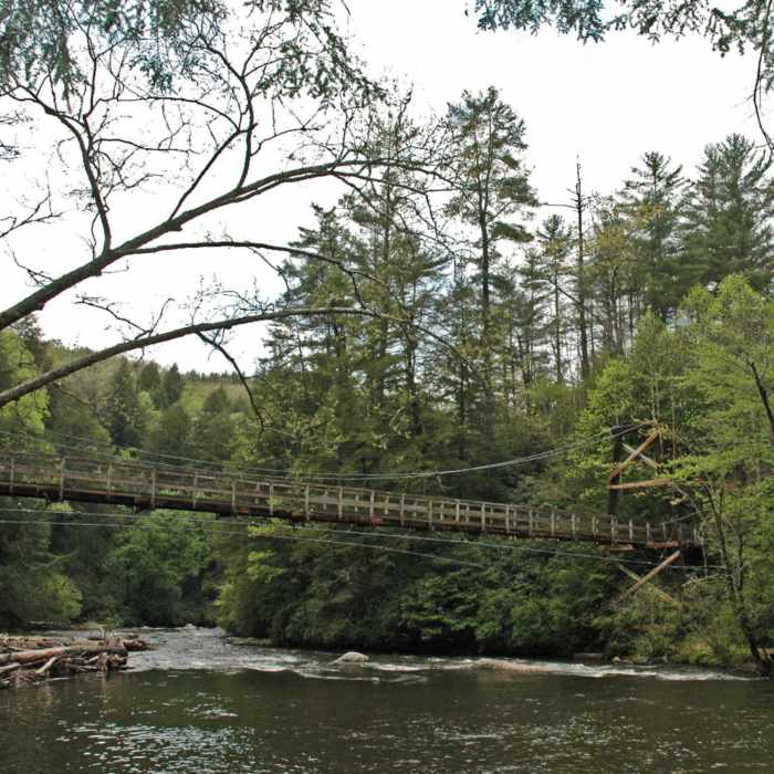
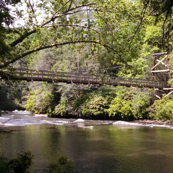
Toccoa Hanging Bridge aids your passage over the Toccoa River.
Near Toccoa River Road FS 333
Suspension Bridge
Near Toccoa River Road FS 333
Swinging Bridge at Toccoa River, GA.

Looking for more photos?

View All Photos
View Map
Driving Directions
Hike Trail

Toccoa River Road FS 333

2.5 (2 Ratings)
Relatively flat forest road above the Toccoa River.
2.9
mi
Distance
289
ft
Gain
easy
Difficulty
River/Creek

Route Details

Flatter
Steeper
2.92mi
Distance
289ft
Elevation Gain
231ft
Elevation Loss
15%
Max Grade
2,090ft
High Point
1,968ft
Low Point
Path Type
Point to Point
Description
Toccoa River Road is a bit rougher than many of the other forest roads in the area. There is a small creek to ford near the start at Rock Creek Road FS 69. At the western end, it continues straight onto Old Rock Creek Road. Old Rock Creek Road is more of an ATV track that weaves between lots to permit access to the main Doublehead Gap Road. You can use this road as part of a big loop with Rock Creek Road FS 69, Noontootla Road (FS 58), and Blue Ridge Road FS-42 or as part of a smaller loop with Tooni Gap Road FS 816, crossing the Toccoa River Swinging Bridge. Just after you pass Seed Production Road FS 308, the Benton MacKaye Trail crosses Toccoa River Road. If you walk downhill on the Benton MacKaye Trail, you can see the impressive Toccoa River Swinging Bridge and a short walk uphill on the other side you can connect with Tooni Gap Road FS 816. The 270-foot suspension bridge is the longest swinging bridge east of the Mississippi River.

Route Conditions

Report Conditions
No Condition Reports
Report Conditions

Nearby Hike Routes

Long Creek Falls

Hike Route

Long Creek Falls

Fall Colors
moderate
1.89 mi
+259 ft
Springer Mountain

Hike Route

Springer Mountain

Commonly Backpacked
moderate
8.35 mi
+1,454 ft
Springer Mountain Loop via Three Forks

Hike Route

Springer Mountain Loop via Three Forks

Views
strenuous
10.52 mi
+2,093 ft
Fall Branch Falls Out-and-Back

Hike Route

Fall Branch Falls Out-and-Back

Dogs Allowed
moderate
0.43 mi
+217 ft
Appalachian Trail: Woody Gap to Gooch Gap Mountain Shelter

Hike Route

Appalachian Trail: Woody Gap to Gooch Gap Mountain Shelter

Fall Colors
strenuous
5.11 mi
+750 ft
Blood Mountain via Woody Gap

Hike Route

Blood Mountain via Woody Gap

Views
extreme
16.31 mi
+3,906 ft
Contributors
Lost Justpastnowhere
