Ready to explore this trail?
View Trail Map in AppTioga Road is close in the winter and spring until the road can be plowed and is free from snow. Snow can remain in this drainage until late June, so check in with rangers before hiking this trail. Road conditions can be checked on the park website. https://www.nps.gov/yose/planyourvisit/conditions.htm
Path Type
Point to Point
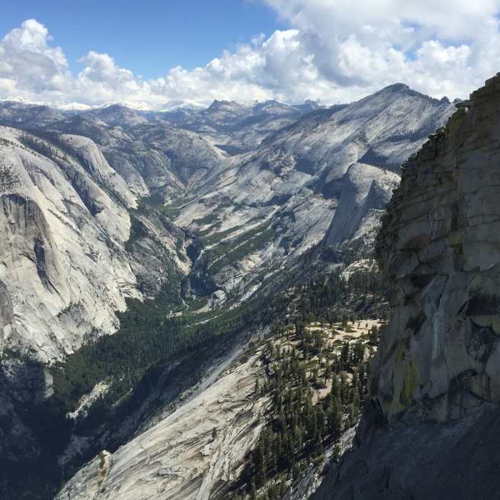
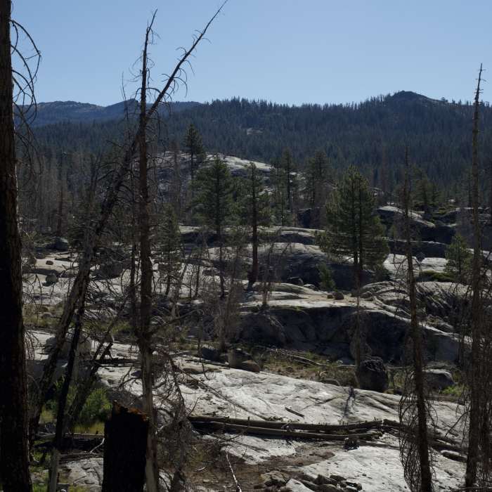
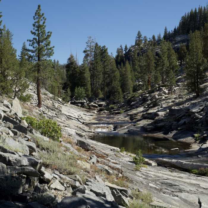
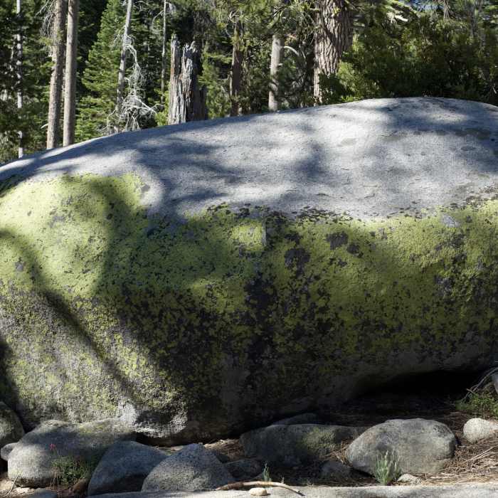
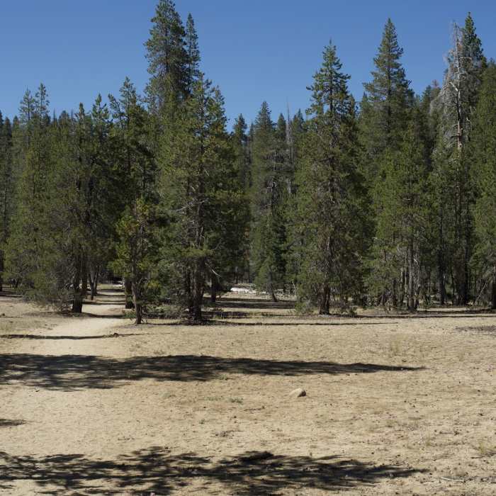
This trail starts at Yosemite Creek Campground and begins to descend gently through a fairly open forest. After 1.5 miles, you climb up a ridge and move away from the creek. Large boulders can be seen in this area, remnants from the glaciers that moved through this area thousands of years ago. Views of domes and exfoliating granite can be seen throughout various points along the trail. A couple of short switchbacks descend to a trail junction with a trail that leads up to the Lukens Lake Trailhead. The trail drops another half mile and begins to run along Yosemite Creek. Small pools of water and water polished slabs of granite sit off to the left side of the trail as you walk along it. Its amazing to believe that this water will eventually flow over the edge of Yosemite Valley as part of Upper and Lower Yosemite Falls. The trail moves along the creek for a while before moving away from it and crossing a large gravel bar where you may see people setting up camps. You pass the seasonal Eagle Peak Creek before coming to Eagle Peak Trail about a quarter of a mile later. From here, you can break off to the right and climb up to Eagle Peak and then go on to the top of El Capitan. Continuing straight ahead for about 3/4 of a mile, you'll come to the trail that takes you to the brink of Upper Yosemite Falls. Either option provides great views of the Valley, although if Upper Yosemite Falls is really running, its worth the side trip to the top. You can hike back uphill to your car, or if you have arranged a shuttle, you can drop down to Yosemite Valley and then ride back up to your car.
No Condition Reports
North Dome + Indian Rock Via Porcupine Creek Trailhead
North Dome + Indian Rock Via Porcupine Creek Trailhead
Contributors

