Ready to explore this trail?
View Trail Map in AppPath Type
Point to Point
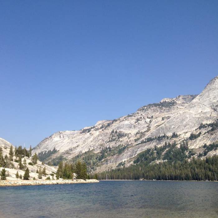
This trail receives less general traffic than others in the Tuolomne area, but is popular with first time backpackers or backpackers with kids. From the Murphy Creek trailhead on the banks of Tenaya Lake, climb through shaded lodgepole forest with abundant wildflowers. After a short initially steep section, the grade eases to be more gently uphill. The peaceful trail roughly parallels Murphy Creek which is dry for the summer months. Along the way, you'll enjoy views of Polly Dome, Mount Hoffmann and Tuolmne Peak.
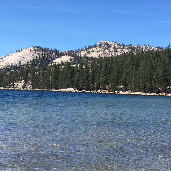
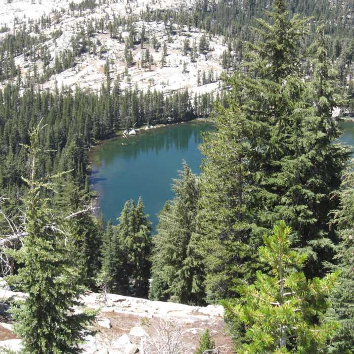
The trail emerges from the forest and crosses granite slabs with rock pile cairns to mark the way. The boulder erratics scattered about were left by retreating glaciers. After a brief steeper section, enter the woods once again and soon a small boggy pond appears on the right. For those wishing to visit the largest of the Polly Dome Lakes, look for an unofficial trail on the right (east) before a large granite outcropping. Take this detour eastwards for about 1/2 mile over downed trees and boulders. The shallow, picturesque lake has big rocks protruding from its surface and makes a great picnic spot.
Returning to the main Murphy Creek Trail after this detour, continue north and slightly west up another steep section of path. The trail terminates at a junction with the Glen Aulin - May Lake Trail.
No Condition Reports
Sunrise to Happy Isles via Clouds Rest and Half Dome
Sunrise to Happy Isles via Clouds Rest and Half Dome
High Sierra Camp: May Lake- Glen Aulin- Tuolumne Meadows
High Sierra Camp: May Lake- Glen Aulin- Tuolumne Meadows
Contributors

