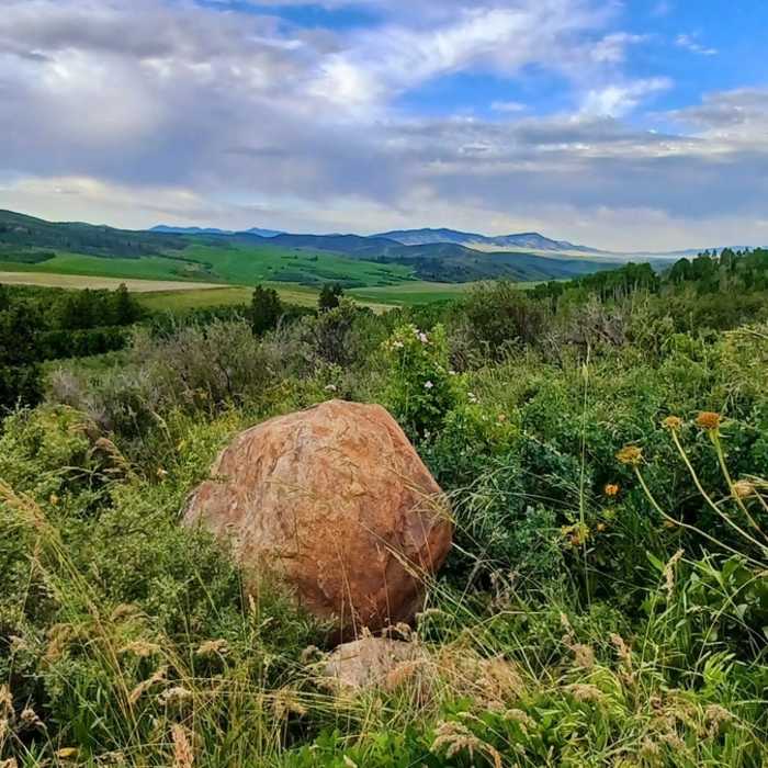
Near Crystal Summit Road
Not far from start. One of the first overlooks.

Looking for more photos?

View All Photos
View Map
Driving Directions
Hike Trail

Crystal Summit Road

5.0 (1 Rating)
Dirt mountain road.
6.1
mi
Distance
1,232
ft
Gain
moderate
Difficulty
Fall ColorsWildflowersWildlife

Route Details

Flatter
Steeper
6.14mi
Distance
1,232ft
Elevation Gain
406ft
Elevation Loss
20%
Max Grade
6,825ft
High Point
5,752ft
Low Point
Path Type
Point to Point
Description
This is an awesome dirt road that takes you to Elk Meadows Loop and passes by many other trails. You can access Corral Creek Road and Chimney Creek (Birthday Trail) that will connect you to West Fork.

Route Conditions

Report Conditions
No Condition Reports
Report Conditions

Nearby Hike Routes

Good Enough Mormon Loop

Hike Route

Good Enough Mormon Loop

Birding
strenuous
12.43 mi
+3,562 ft
Lower and Upper City Creek

Hike Route

Lower and Upper City Creek

Less Crowded
moderate
5.69 mi
+865 ft
Wolverine Road: Narrows to W's Divide and Back

Hike Route

Wolverine Road: Narrows to W's Divide and Back

Birding
moderate
15.75 mi
+2,004 ft
Bloomington Peak Hike

Hike Route

Bloomington Peak Hike

Views
easy
0.88 mi
+1,258 ft
Bloomington Lake

Hike Route

Bloomington Lake

Lake
easy
0.62 mi
+94 ft
Hell's Half Acre

Hike Route

Hell's Half Acre

Birding
strenuous
9.95 mi
+335 ft
Contributors
JT Thorn
