Ready to explore this trail?
View Trail Map in AppDogs must be under voice control if off leash. Otherwise, they must be leashed on National Forest trails.
Path Type
Point to Point
Mt. Margaret ironically descends to the summit of its namesake mountain.
Begin from the USFS parking lot (home to an SST [sweet smelling toilet]) off of Red Feather Lakes Road. Head down the obvious path, bearing left. Make your way through the gate and across the hill into the forest. This trail meanders around the hills just east of Red Feather Lakes, offering brief views of Parvin and Dowdy Lakes before trending east towards the low summit of Mount Margaret.
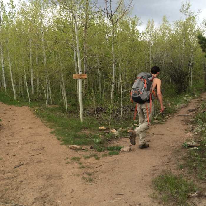
There is a Y in the trail with one direction meant for equestrian use and the other for foot traffic. Take a right at this Y and it will take you to a bridge just wide enough for one person to cross. Start back west to gain your first view of Dowdy Lake before turning east again and beginning the majority of this trail's descent.
A few sections of this trail may be boggy or flooded, but there are obvious paths to take around these sections.
Eventually, the wide singletrack trail (oftentimes braided doubletrack) meets and obvious doubletrack section at an intersection with the Frog Pond Trail and East Dowdy Trail. continue northeast on Mt. Margaret. The trails in this area are well signed so navigation shouldn't be any issue.
Continuing along this doubletrack, you'll descend to yet another small pond that has a wooden fence built around its perimeter.
Just on the east side of the pond, there will be an intersection with the Divide Trail. Stay left to achieve the low summit of Mount Margaret, or, take a right to head over to the summit of a small peak just south of Mount Margaret.
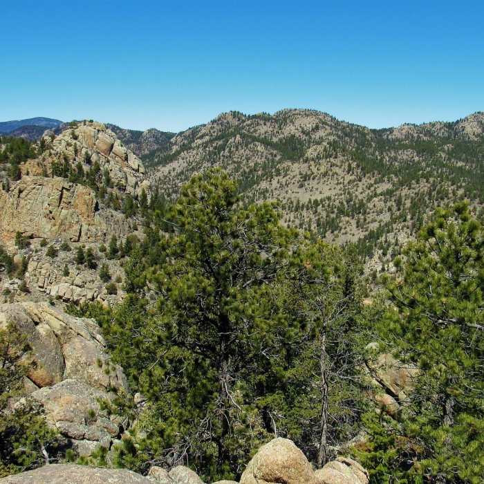
The views from both of these peaks show many winding farm roads with rock towers poking up all over Arapaho & Roosevelt National Forest.
All Clear
Looking for more condition reports?
Contributors

