
Ready to explore this trail?
View Trail Map in AppPath Type
There and Back
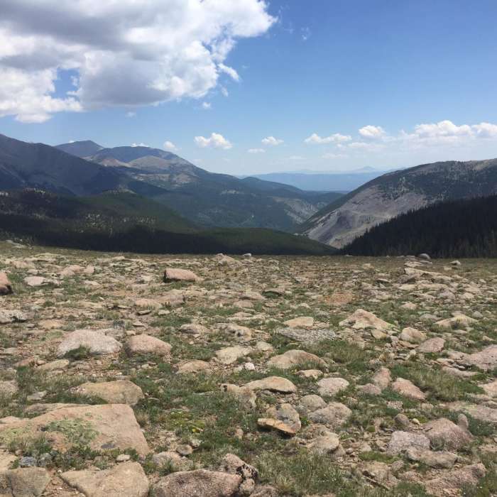
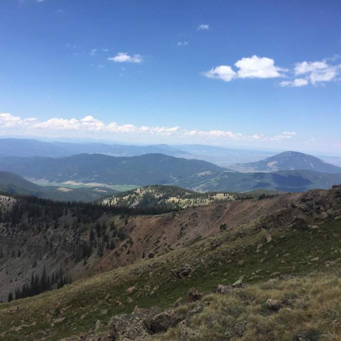
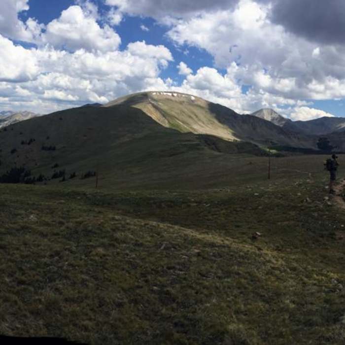
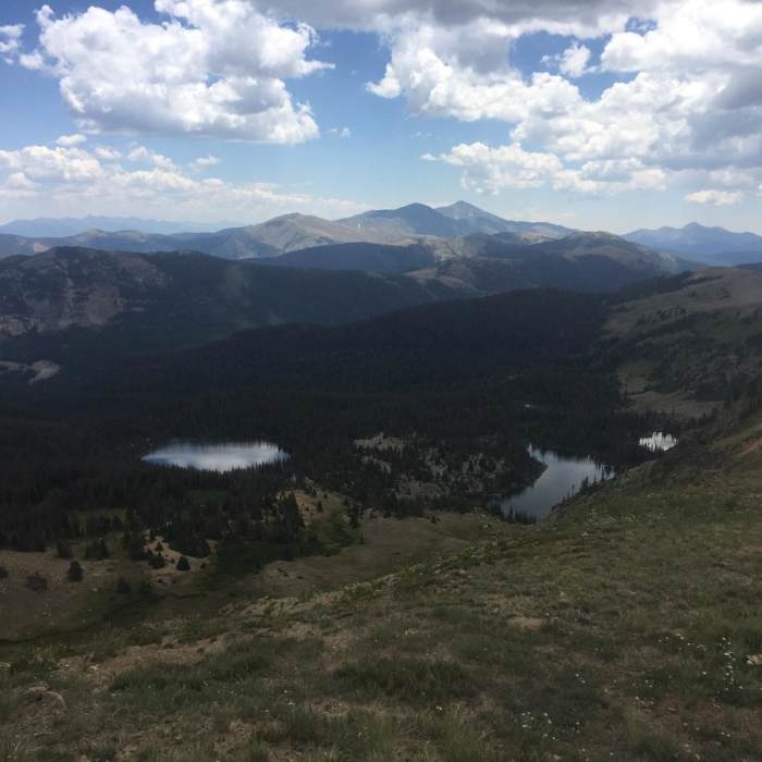
Monarch Pass to Boss Lake is a 21.2-mile out-and-back route through San Isabel National Forest, starting at Monarch Pass off Highway 50 southwest of Salida, Colorado. This high-altitude route traverses the Continental Divide ridge, offering panoramic views of the Sawatch Mountains, Waterdog Lakes, green hillsides, and wildflower-filled meadows. The route is situated entirely at high elevation, ranging from 10,433 feet to 12,553 feet, with an overall elevation gain of approximately 4,900 feet.
Beginning at Monarch Pass, the route follows the combined Colorado Trail (CT) and Continental Divide Trail (CDT) heading north. The trail climbs to the continental divide, passing through the Monarch Mountain ski area and traversing open, rocky alpine terrain. After skirting the western slopes of Bald Mountain, the trail descends to Boss Lake Reservoir, a large lake that can serve as the turnaround point. If you continue past the lake, you'll reach Boss lake Trailhead, an alternative end-point.
This moderately rated singletrack route accommodates hiking, mountain biking, horseback riding, backpacking, and trail running. Visitors should prepare for rapidly changing high-altitude weather and potential afternoon thunderstorms.
Dispersed camping is permitted within Pike-San Isabel National Forest without a permit, subject to standard regulations. The area is active bear habitat; proper food storage and wildlife safety practices are required.
No Condition Reports
Contributors

