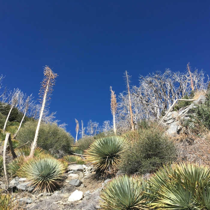
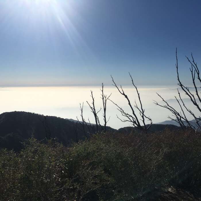
Near San Gabriel Peak Trail #12W24
Sunrise from the Bill Reilly Trail
Near San Gabriel Peak Trail #12W24
Running toward Mt. Disappointment
Near San Gabriel Peak Trail #12W24
Upper Bear Canyon with Brown Mountain
Near San Gabriel Peak Trail #12W24
Remnants of the Station Fire (2007)
Near San Gabriel Peak Trail #12W24
View from San Gabriel Peak

Looking for more photos?

View All Photos
Driving Directions
Hike Trail

San Gabriel Peak Trail #12W24

3.5 (4 Ratings)
A trail to a prominent peak with great views.
1.1
mi
Distance
886
ft
Gain
moderate
Difficulty
ViewsWildflowers

Route Details

Flatter
Steeper
1.12mi
Distance
886ft
Elevation Gain
32ft
Elevation Loss
50%
Max Grade
6,141ft
High Point
5,286ft
Low Point
Path Type
Point to Point
Description
The trail starts at Markham Saddle on Mt. Lowe Road #2N50 about 0.5 miles west of the parking area at Eaton Saddle. Look for the water tank on the north side of the road. The trail climbs a series of switchbacks then contours on the west side of this steep mountain passing through mostly shadeless chaparral of ceanothus, scrub oak and yucca. It reaches a saddle between San Gabriel Peak and Mt. Disappointment where there is a trail junction with some welcomed shade. The left fork leads shortly to the Mount Disappointment Road #2N57 which can be taken to the Bill Reilly Trail and down to Red Box. Keep right to reach the summit. The trail climbs steeply up switchbacks on the west ridge passing through areas shaded by bigcone spruce and oaks on the north facing side. The summit has stunning views on a clear day and include most of the ranges in Southern California and the Channel Islands. A good loop opportunity is to start from Red Box, go east down the Gabrielino Trail (NRT) 11W14, then up the Valley Forge Trail #12W09, cross the road and take the Mt. Lowe Road #2N50 to this trail and return on the Bill Reilly Trail back to Red Box.

Route Conditions

Report Conditions
No Condition Reports
Report Conditions

Nearby Hike Routes

Mt. Lowe from Eaton Saddle

Hike Route

Mt. Lowe from Eaton Saddle

Commonly Backpacked
moderate
5.46 mi
+1,779 ft
Eaton Saddle to Switzer via Bear Canyon

Hike Route

Eaton Saddle to Switzer via Bear Canyon

Fall Colors
extreme
15.6 mi
+4,156 ft
Eaton Saddle / Brown Canyon Loop

Hike Route

Eaton Saddle / Brown Canyon Loop

Views
extreme
18.21 mi
+4,870 ft
Eaton Saddle Loop

Hike Route

Eaton Saddle Loop

Views
extreme
22.29 mi
+6,584 ft
Mueller Tunnel Hike

Hike Route

Mueller Tunnel Hike

Views
easy
0.54 mi
+323 ft
Three Peak Circuit

Hike Route

Three Peak Circuit

Views
strenuous
7.76 mi
+2,554 ft
Contributors
Alan Coles
