Ready to explore this trail?
View Trail Map in AppPath Type
Point to Point
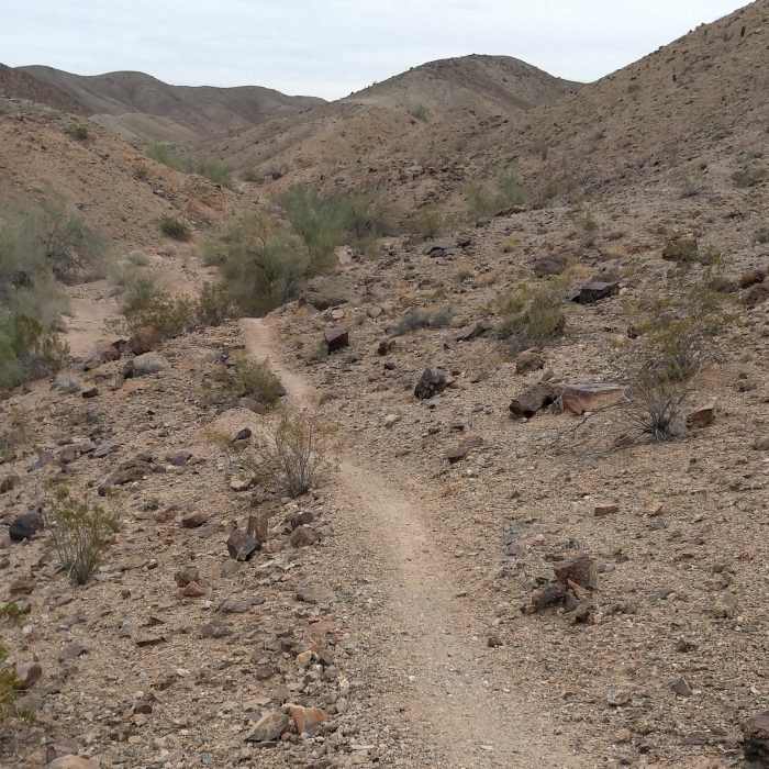
This desert singletrack is one of the primary arteries of the Sugarloaf Peak trails. It runs roughly north and south, and sits on the eastern extent of the trails.
Getting there is work whatever route you choose. One popular route is to take Front Yard to Johnny Walker, a short little bit of Sidewalk, and you'll be on the south end of Champagne. I call this spot "Top of the World." This is a great place for a break to take in the fantastic vistas where you can see the Imperial Sand Dunes backed by the Peninsular Mountain Range to the west.
The south half of Champagne is a ridgeline trail that is smooth with few rugged sections.
Many hike opt to drop off the ridge at Kristin's Cut and pick up Picnic Table which will take you to the base of Sugarloaf, or, if 11 miles is enough for you, hop on Ryan's for an easy hike back to the car.
If you continue north on Champagne, the trail continues as a downhill, ridgeline blast, but past the Picnic Table/Ryan connector, maintenance and traffic drops off, the trail narrows, and the surface is a bit looser and rockier. At the far north end, the character changes dramatically as you drop into the wash then climb your way out of the valley along the sides of a geological wonderland. One tough climb over loose on loose gravel, then you'll be rewarded with solid surface for the rest of the trail.
No Condition Reports
Contributors

