Near Peak Meadow Trail
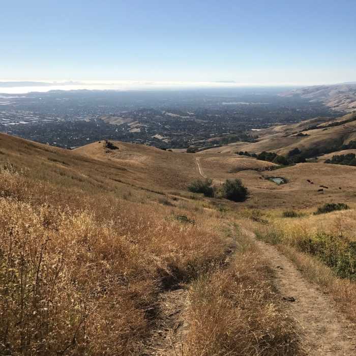
This is the ongoing view from the trail looking over the South Bay.
Near Peak Meadow Trail
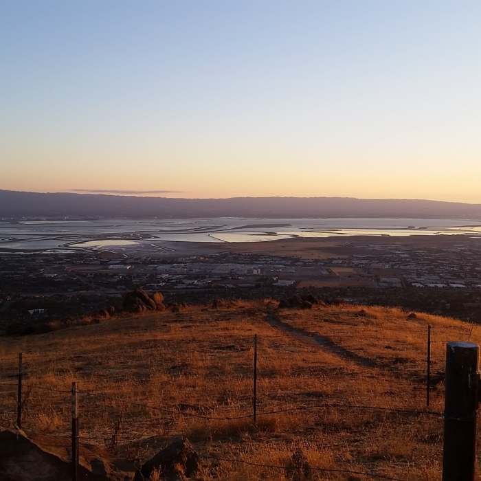
Looking over the bay.
Near Peak Meadow Trail
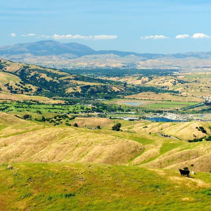
The views from the Peak Trail are breathtaking.
Near Peak Meadow Trail
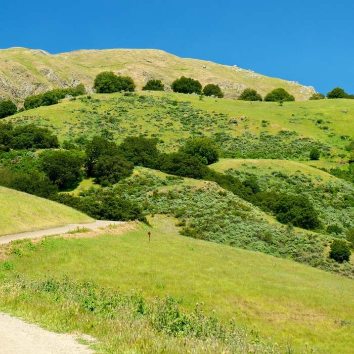
Mission Peak looks like it might have come from a Steinbeck novel when seen from the Peak Meadow Trail.

Looking for more photos?

View All Photos
View Map
Driving Directions
Hike Trail

Peak Meadow Trail

4.0 (5 Ratings)
The steeper cousin to the Peak Trail.
2.1
mi
Distance
1,119
ft
Gain
strenuous
Difficulty
BirdingLess CrowdedViewsWildflowersWildlife

Route Details

Flatter
Steeper
2.12mi
Distance
1,119ft
Elevation Gain
112ft
Elevation Loss
30%
Max Grade
1,509ft
High Point
429ft
Low Point
Path Type
Point to Point
Description
The Peak Meadow Trail is less traveled than the Hidden Valley Trail, but it features longer sections of steep grades. The tough grades scare many away, so you'll have a tough though unpopulated churn uphill. Though steep, the section that crosses the major hill on the trail is very navigable and has quiet wooded patches. Most of the rest of the trail is fairly exposed, and sun protection is advised.

Route Conditions

Report Conditions
No Condition Reports
Report Conditions

Nearby Hike Routes

Monument Peak Summit Out and Back

Hike Route

Monument Peak Summit Out and Back

Birding
strenuous
9.45 mi
+2,632 ft
Ohlone Wilderness Trail / Hidden Valley Trail

Hike Route

Ohlone Wilderness Trail / Hidden Valley Trail

Birding
strenuous
6.19 mi
+2,125 ft
Mission Peak to Monument Peak

Hike Route

Mission Peak to Monument Peak

Fall Colors
strenuous
18.08 mi
+5,011 ft
Monument Peak Loop via BART

Hike Route

Monument Peak Loop via BART

Birding
strenuous
6.14 mi
+1,689 ft
Rose Peak via McCorkle Trail + Ohlone Wilderness Trail

Hike Route

Rose Peak via McCorkle Trail + Ohlone Wilderness Trail

Views
extreme
18.37 mi
+4,770 ft
Ohlone Wilderness Loop

Hike Route

Ohlone Wilderness Loop

Views
strenuous
11.76 mi
+3,248 ft
Contributors
Chris Tallman
