Near Lewis and Clark Trail
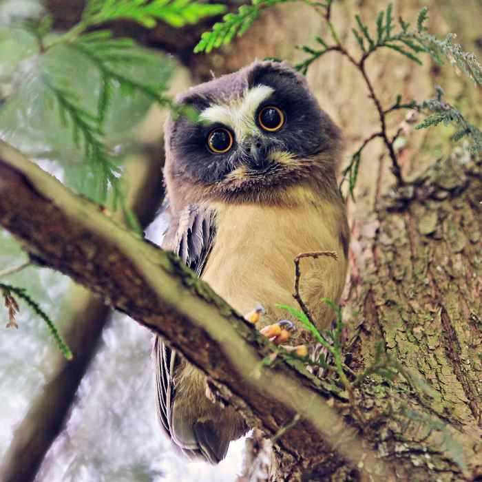
Saw whet owl resting among the trees at Tryon.

Looking for more photos?

View All Photos
View Map
Driving Directions
Hike Trail

Lewis and Clark Trail

3.0 (4 Ratings)
A popular singletrack trail.
0.8
mi
Distance
59
ft
Gain
moderate
Difficulty
Family FriendlyRiver/Creek

Route Details

Flatter
Steeper
0.77mi
Distance
59ft
Elevation Gain
320ft
Elevation Loss
20%
Max Grade
390ft
High Point
130ft
Low Point
Path Type
Point to Point
Description
This trail travels north-south from near the Law School to High Bridge along the western edge of the park. This trail is somewhat parallel to the North Horse Loop, and at times you'll be able to see people or horses on that trail; however, this trail is only open to pedestrians and is singletrack. A little over halfway along comes a highlight of the trail: the Terry Riley Bridge. This is suspension bridge that sways as you hike along it. The trail ends at High Bridge which functions as the center of the park.

Route Conditions

Report Conditions
No Condition Reports
Report Conditions

Nearby Hike Routes

Tryon Creek State Park, Cedar Trail Hike

Hike Route

Tryon Creek State Park, Cedar Trail Hike

easy
1.39 mi
+295 ft
Tryon Creek Loop

Hike Route

Tryon Creek Loop

Family Friendly
moderate
3.28 mi
+587 ft
Elk Rock Island Trail

Hike Route

Elk Rock Island Trail

Views
easy
0.8 mi
+64 ft
George Himes Park Trail

Hike Route

George Himes Park Trail

Dogs Allowed
easy
1.33 mi
+360 ft
Oaks Bottom Hiking Trails

Hike Route

Oaks Bottom Hiking Trails

easy
2.62 mi
+75 ft
Marquam Nature Park + Trail

Hike Route

Marquam Nature Park + Trail

Views
moderate
4.22 mi
+899 ft
Contributors
Karl W
