Near Milford Point Trail
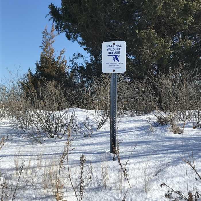
NWR sign

Looking for more photos?

View All Photos
Driving Directions
Hike Trail

Milford Point Trail

4.0 (1 Rating)
A short, scenic trail with incredible birding
1.2
mi
Distance
3
ft
Gain
easy
Difficulty
BirdingViewsWildlife
Access Issues
While this trail is mostly in the Milford Point Unit of the Stewart B. McKinney National Wildlife Refuge, it is only accessible by way of the boardwalks at the Connecticut Audubon Society Coastal Center as Smiths Point Road is private.

Route Details

Flatter
Steeper
1.24mi
Distance
3ft
Elevation Gain
0ft
Elevation Loss
10%
Max Grade
10ft
High Point
1ft
Low Point
Path Type
Point to Point
Description
This trail begins at the Connecticut Audubon Society Coastal Center. It crosses over Smiths Point Road and approaches the beach by way of the boardwalk. Once the trail reaches the beach it turns to the right and hugs the shore. After passing the houses, the trail turns right up towards a small observation platform before returning to the beach. The trail continues along the beach all the way around. It loops around the point and ends at the small platform.

Route Conditions

Report Conditions
No Condition Reports
Report Conditions

Nearby Hike Routes

West Rock Ridge Loop

Hike Route

West Rock Ridge Loop

Cave
strenuous
7.69 mi
+956 ft
Lake Wintergreen Loop

Hike Route

Lake Wintergreen Loop

Fishing
moderate
1.59 mi
+60 ft
Godfrey Pond Loop

Hike Route

Godfrey Pond Loop

Birding
moderate
1.26 mi
+148 ft
Devils Den Nature Preserve Perimeter

Hike Route

Devils Den Nature Preserve Perimeter

River/Creek
moderate
7.94 mi
+822 ft
Zoar Trail

Hike Route

Zoar Trail

Fall Colors
moderate
6.34 mi
+1,216 ft
Butler-Huntington Woods Loop

Hike Route

Butler-Huntington Woods Loop

easy
1.46 mi
+151 ft
Contributors
Daniel McCloskey
