Near Rim Run
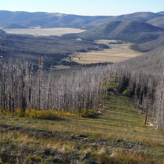
Valles Toledo and the northeastern corner of Valles Caldera National Preserve looking northwest from Pajarito Mountain.
Near Rim Run
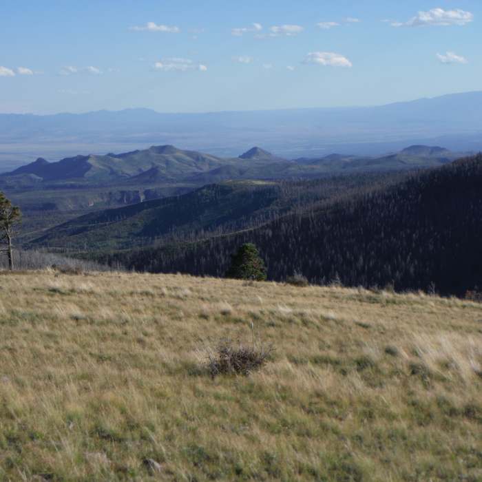
Sandia Mountains looking south from Pajarito Mountain. Frijoles Canyon in Bandelier National Monument is in the middle ground
Near Rim Run
Sunlight spilling through the clouds slowly filling the Valles Caldera.
Near Rim Run
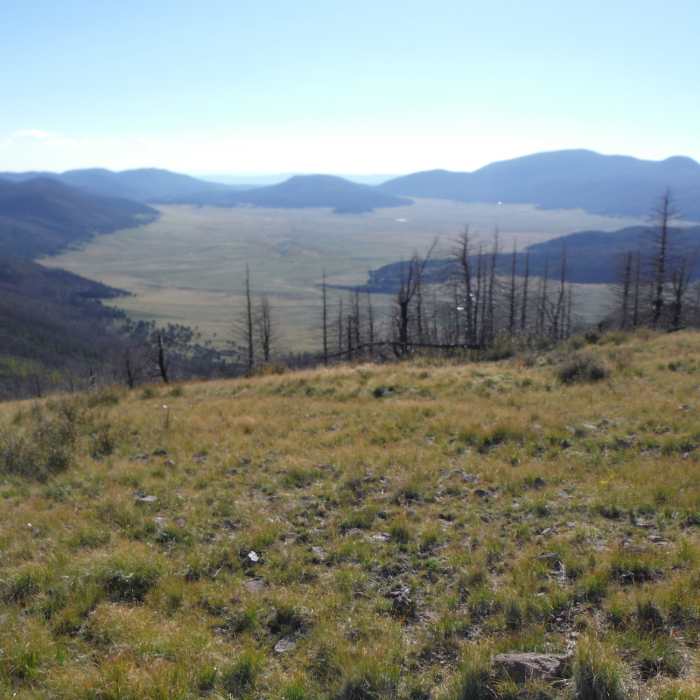
Valles Caldera National Preserve looking west from Pajarito Mountain.

Looking for more photos?

View All Photos
View Map
Driving Directions
Hike Trail

Rim Run

5.0 (1 Rating)
A road that descends from Pajarito Mountain ridge westward from the Mother Chairlift.
0.6
mi
Distance
ft
Gain
easy
Difficulty
Fall ColorsViewsWildflowersWildlife
Access Issues
Closed when the ski resort is operating.

Route Details

Flatter
Steeper
0.6mi
Distance
0ft
Elevation Gain
449ft
Elevation Loss
20%
Max Grade
10,431ft
High Point
9,982ft
Low Point
Path Type
Point to Point
Description
This is one of several roads traversing Pajarito Mountain. This road starts at the Mother chairlift and descends along the west ridge. About halfway down this road there is a spectacular view of the northeast side of the Valles Cadera National Preserve. This road ends at the intersection of West Road and Road 0. During the ski season, this is called Rim Run and it access the popular "Fab Four" double-black-diamond ski runs (Nuther Mother, Sidewinder, Breathless, and Precious).

Route Conditions

Report Conditions
No Condition Reports
Report Conditions

Nearby Hike Routes

Pajarito Ski Hill to Los Alamos North

Hike Route

Pajarito Ski Hill to Los Alamos North

Birding
strenuous
8.77 mi
+1,022 ft
Pajarito Mountain Loop

Hike Route

Pajarito Mountain Loop

Fall Colors
strenuous
4.54 mi
+1,251 ft
Los Alamos Natural Arch Out-and-Back

Hike Route

Los Alamos Natural Arch Out-and-Back

Birding
strenuous
4.22 mi
+874 ft
Barranca Mesa-Guaje Mtn-Guaje Canyon

Hike Route

Barranca Mesa-Guaje Mtn-Guaje Canyon

Birding
moderate
6.52 mi
+1,701 ft
Anniversary Trail Loop

Hike Route

Anniversary Trail Loop

Fall Colors
easy
2.42 mi
+207 ft
Los Alamos County Low Point to High Point

Hike Route

Los Alamos County Low Point to High Point

Waterfall
extreme
63.38 mi
+13,768 ft
Contributors
Bill Blumenthal
