Near Fox River Trail
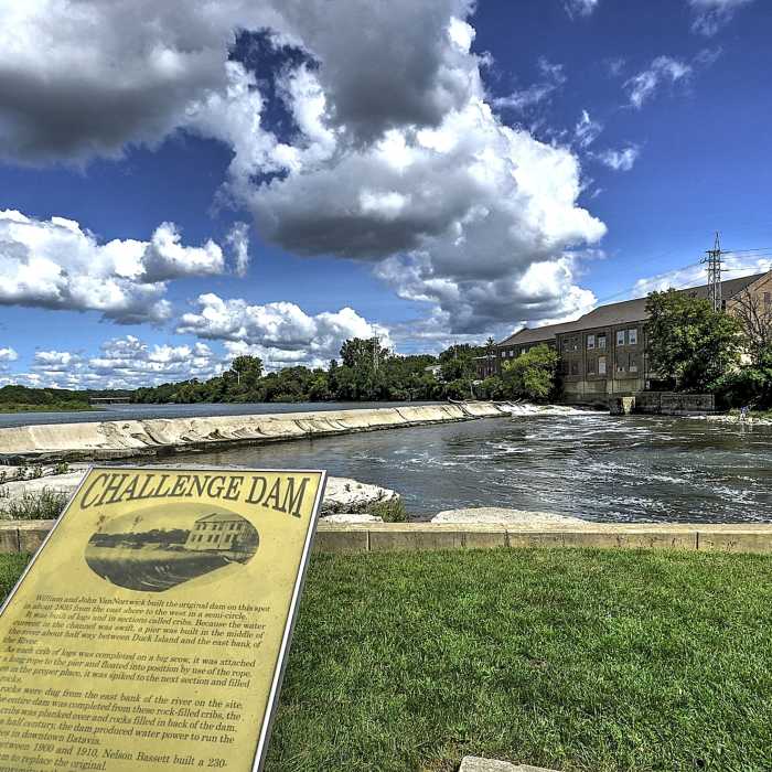
Challenge Dam.
Near Fox River Trail
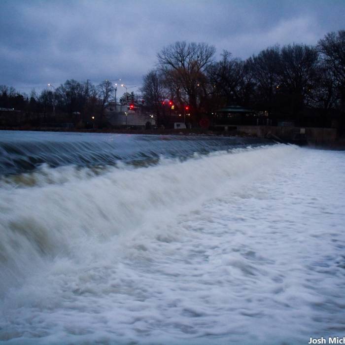
Surging water along the Fox River Trail.
Near Fox River Trail
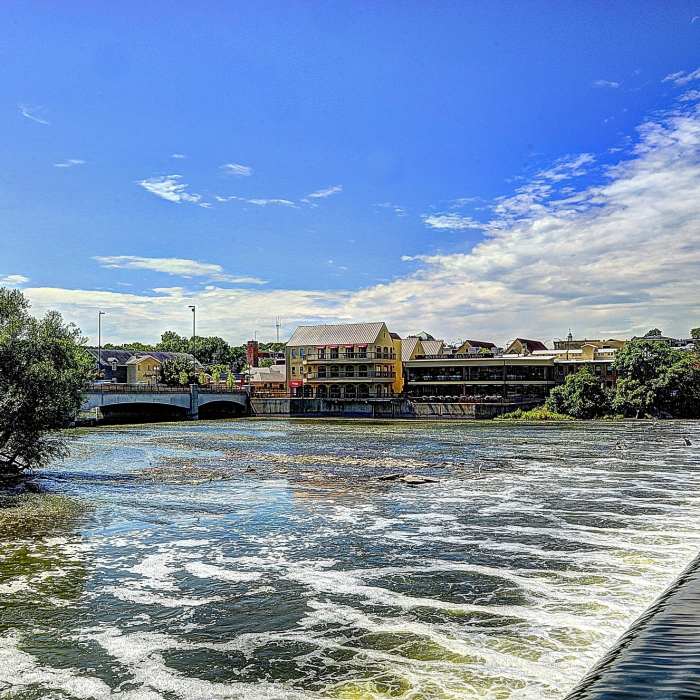
View from Old Mill Park, Geneva, IL.
Near Fox River Trail
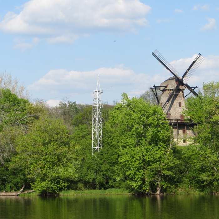
Fabyan Windmill.
Near Fox River Trail
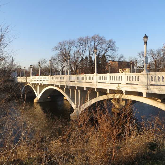
North Avenue Bridge.

Looking for more photos?

View All Photos
View Map
Driving Directions
Hike Trail
Buy Now View in 3D

Fox River Trail

3.7 (3 Ratings)
A 40-mile urban trail that runs along the Fox River.
38.6
mi
Distance
466
ft
Gain
easy
Difficulty
Family FriendlyRiver/CreekViews

Route Details

Flatter
Steeper
38.58mi
Distance
466ft
Elevation Gain
333ft
Elevation Loss
30%
Max Grade
789ft
High Point
595ft
Low Point
Path Type
Point to Point
Description
This urban trail travels from Oswego in the south to the edge of Algonquin in the north. Much of the trail is spent hugging the banks of the Fox River. The mellow grades, easy access, and river views make this a popular route for recreating and commuting. While most hikers won't travel the entirety of the 40-mile trail in one outing, plenty of parks and nearby trails make it easy to put together enjoyable out-and-backs to suit your party's taste.

Route Conditions

Report Conditions
Anonymous Adventurer
All Clear
Looking for more condition reports?
View History

Nearby Hike Routes

Morton Arboretum Loop

Hike Route

Morton Arboretum Loop

Birding
easy
4.37 mi
+160 ft
Waterfall Glen Main Trail

Hike Route

Waterfall Glen Main Trail

Birding
easy
9.52 mi
+228 ft
Bullfrog Loop

Hike Route

Bullfrog Loop

Birding
moderate
6.87 mi
+454 ft
Palos West Side Tour

Hike Route

Palos West Side Tour

Birding
moderate
11.63 mi
+750 ft
Prairie Creek Woods Trail

Hike Route

Prairie Creek Woods Trail

Birding
easy
1.63 mi
+0 ft
Sag Valley Main Trail

Hike Route

Sag Valley Main Trail

Birding
moderate
8.26 mi
+333 ft
Contributors
Eric Ashley
