Ready to explore this trail?
View Trail Map in AppPath Type
Point to Point
Roman Nose Lakes Trail #165 starts on a wide gravel path on the west side of the parking area.
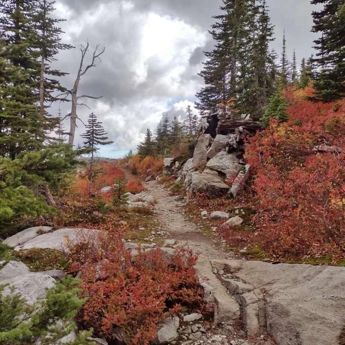
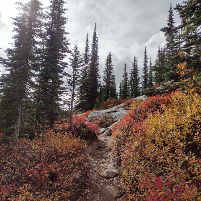
Heading into the forest dominated by subalpine firs, the trail soon crosses the outlet creek of the lower Roman Nose Lake on a sturdy bridge and leaves the gravel behind. The trail winds around in the forest as it gently climbs for the first half mile. The first trail junction with Roman Nose Lakes Trail #165A is passed on the left/south at the 0.3 mile mark. As the trail climbs the trees get smaller and impressive views open up.
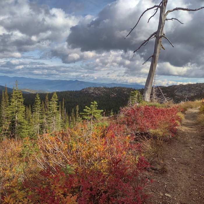
At the 0.6 mile mark the trail passes Roman Nose Lakes Trail #165A for the second time as the trail levels off. Almost immediately an open rocky overlook is reached where one can see far to the northeast, the Kootenai River Valley and Purcell Mountains beyond it. After admiring the views, the trail junction with Roman Nose Lakes Trail #165B that leads to the middle Roman Nose Lake is passed at the 0.7 mile mark.
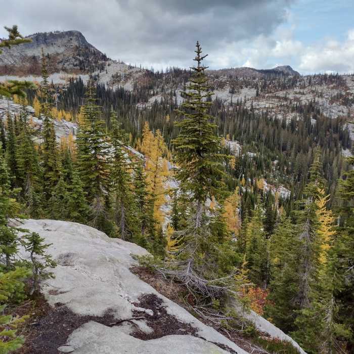
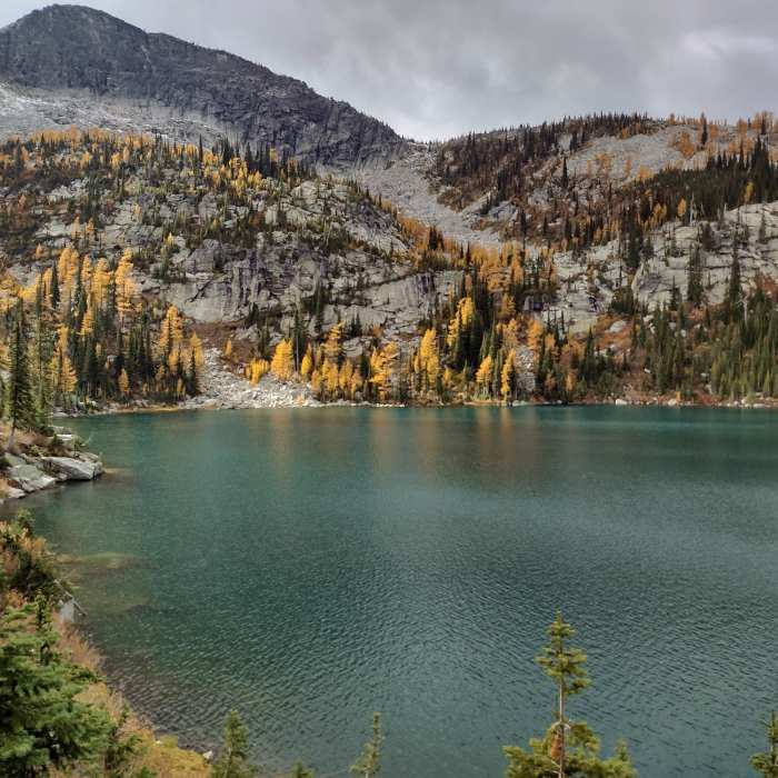
Continuing on, the trail soon hugs the bottom of a steep talus slope dotted with larches, for a short ways before returning to the forest, which is now thinner and a mix of subalpine firs and larches. At the 1.1 mile mark, the upper Roman Nose Lake is reached. Set in a rugged, rocky cirque this scenic lake is the largest of the three Roman Nose Lakes. The trail then follows the lake's southeast shoreline almost to the far end of the lake, where it fades after a total of 1.4 miles.
No Condition Reports
Roman Nose Lakes Hike
Roman Nose Lakes Hike
Bottleneck Lake Out-and-Back
Bottleneck Lake Out-and-Back
Plowboy Mountain Navigation Loop
Plowboy Mountain Navigation Loop
Luby Bay CG - Hills Resort
Luby Bay CG - Hills Resort
Watershed Crest Trail: Phase 1
Watershed Crest Trail: Phase 1
Pacific Northwest National Scenic Trail Section 5
Pacific Northwest National Scenic Trail Section 5
Contributors

