Near Bench Trail
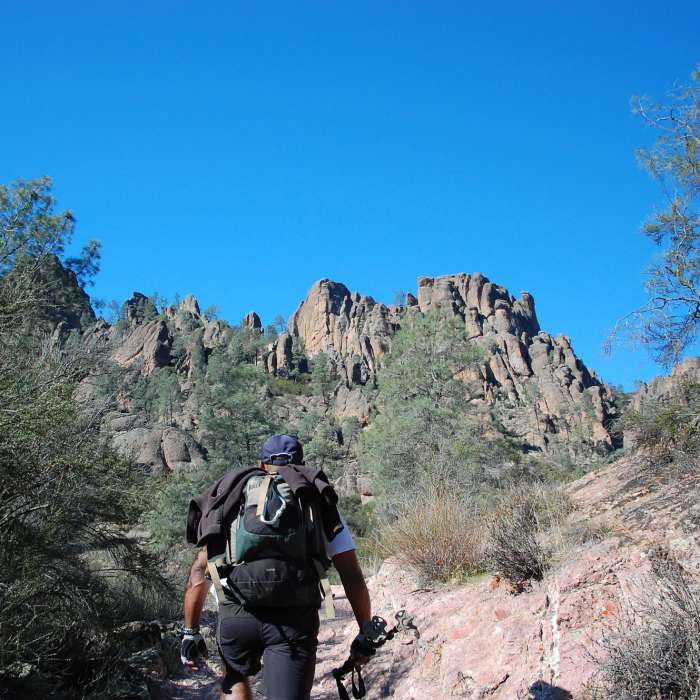
Heading up Bench Trail.
Near Bench Trail
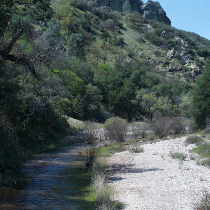
After Spring rains, a little more water flows in the creek.
Near Bench Trail
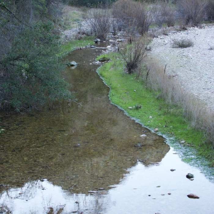
The creek in the winter. There isn't a lot of water, but it provides a lot of nourishment for the surrounding vegetation. There is a nice bridge to help cross the water.
Near Bench Trail
Hiking along the bench trail, you follow the dry creek bed for a long time. The Chalone Creek is dry a lot of the year, but at other times it has water flowing in it.
Near Bench Trail
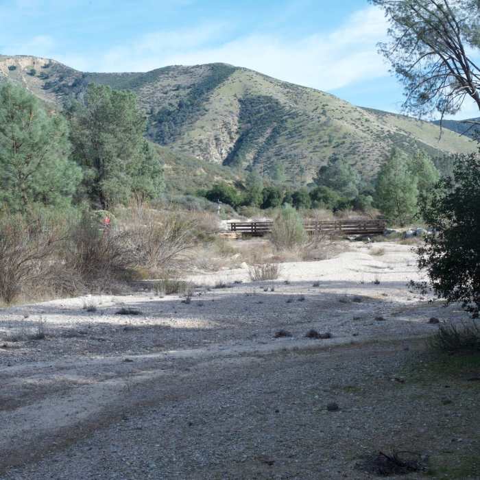
The start of the Old Pinnacles Trail.

Looking for more photos?

View All Photos
View Map
Driving Directions
Hike Trail

Bench Trail

2.9 (8 Ratings)
An open trail with distant views of pinnacles that connects the campground to the rest of the park.
2.4
mi
Distance
69
ft
Gain
easy
Difficulty
Family FriendlyViewsWildflowers
Access Issues
Check for raptor closures before attempting any off-trail rxhing or climbing.

Route Details

Flatter
Steeper
2.42mi
Distance
69ft
Elevation Gain
41ft
Elevation Loss
20%
Max Grade
1,049ft
High Point
966ft
Low Point
Path Type
Point to Point
Description
The Bench Trail trailhead is accessed at the end of the road for the group campsites. From the trailhead, take this flat, easy trail southwest to a junction with a dirt road. Continue south on the dirt road. Briefly walk on the dirt road till the trail once again turns southwest (continuing south on the dirt road will lead to the South Wilderness Trail.) Follow the trail as it turns northwest and winds its way along a dry creek bed towards a small parking lot and a location called Peaks View. This is a good place to catch a far-off glimpse of some of the peaks and pinnacles that make up the High Peaks area of the park. Leaving Peaks View, continue northwest on the trail. Eventually, two small bridges will come into view. Continue on the trail by walking over the dry creek bed on these two bridges to a junction with the Bear Gulch Trail. The Bear Gulch Trail continues southwest while the Bench Trail again turns northwest towards the Old Pinnacles region of the park. Follow the trail northwest as it passes underneath the road and passed the junction for the High Peaks Trail. Crossing over a bridge, the trail ends where it meets Old Pinnacles Trail.

Route Conditions

Report Conditions
No Condition Reports
Report Conditions

Nearby Hike Routes

Bench Trail to High Peaks Loop

Hike Route

Bench Trail to High Peaks Loop

Views
strenuous
10.06 mi
+2,179 ft
North Wilderness and Balconies Cave Loop

Hike Route

North Wilderness and Balconies Cave Loop

Birding
moderate
10.29 mi
+1,338 ft
Balconies and High Peaks Loop

Hike Route

Balconies and High Peaks Loop

Birding
strenuous
8.74 mi
+2,123 ft
Moses Springs Trail

Hike Route

Moses Springs Trail

easy
1.85 mi
+578 ft
High Peaks

Hike Route

High Peaks

Birding
strenuous
4.95 mi
+1,653 ft
Moses Spring Trail

Hike Route

Moses Spring Trail

Family Friendly
moderate
1.29 mi
+665 ft
Contributors
Quin TCM
