Ready to explore this trail?
View Trail Map in AppThe Hetch Hetchy Road is open from 7 am to sunset throughout the year. The road may be closed or under chain restriction depending on the weather. You can check road conditions at www.nps.gov/yose/planyourvisit/conditions.htm or by dialing 1-209-372-0200, dialing extensions 1/1. Overnight backpackers are required to have wilderness permits, which can be acquired from the park service or at the entrance station.
Path Type
Point to Point
The Poopenaut Trailhead is located 4 miles east of the Hetch Hetchy Entrance Station. A sign on the lefthand side of the road marks the trail, and a small turnout on the right has a bear box for food and room for 2-3 cars to park.
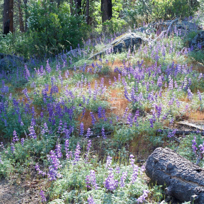
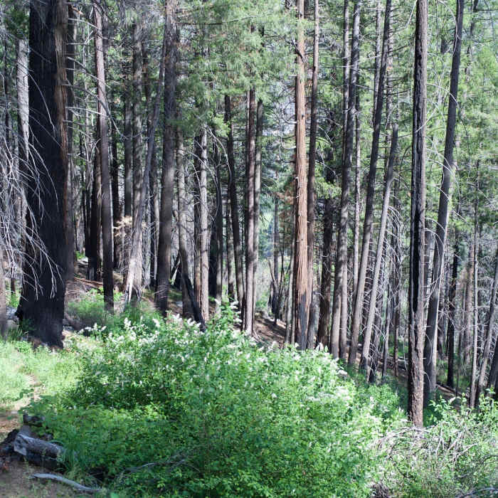
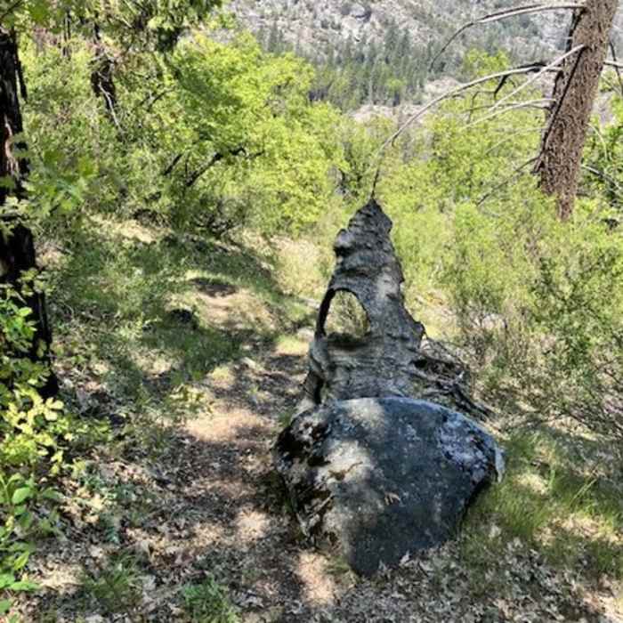
The Poopenaut Trail provides access to the Tuolumne River below the O'Shaughnessy Dam by descending over 1200 feet in a little over a mile from the Hetch Hetchy Road. After crossing the road, the trail drops off slightly and follows the road through an open area where wildflowers (especially lupines) can be seen in the spring. The trail enters the woods where it cuts to the right and begins to descend steeply toward the Tuolumne River. This dirt trail is narrow and in the spring, can be overgrown and difficult to follow, especially if no one else has been on the trail recently. The trail descends steeply, at times over 40% grade, through a forest that is recovering from fire. Grass, blackberry bushes, flowers, and young trees are growing amidst the mature trees that were damaged in the fire. Because the trail can be overgrown in places, pants and waterproof boots are recommended to help protect your legs and keep your feet dry.
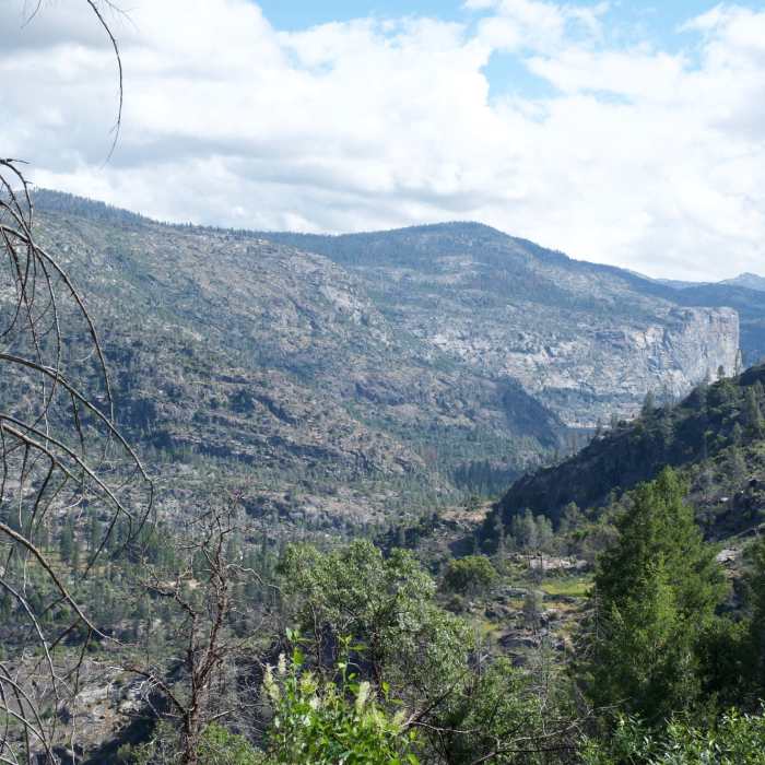
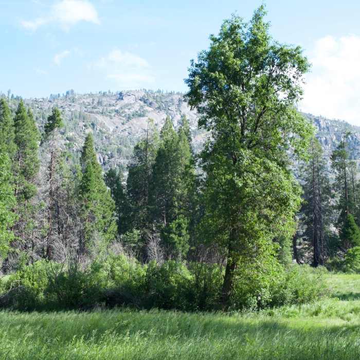
As the trail descends, you can get limited views of the O'Shaughnessy Dam through the trees as well as Poopenaut Valley below you. The trail snakes as it approaches a creek at roughly .7 miles, and the trail follows the edge of the gully as it makes its way toward the Tuolumne River. You'll hear the stream before you see it in the spring as snow melt makes its way to the river. At .9 miles, the trail finally levels off and the hiking becomes easier, but the trail can be difficult to follow in places.The trail makes its way to the left through the meadow and finally ends at the Tuolumne River. You can take the opportunity to rest and relax by the river as you're more than likely the only person in the valley. The area is also open to fishing for those with a valid California fishing license.
The only trail out of the valley is to climb back the hill you descended. It's a difficult climb and can seem like a completely different trail as you work your way back uphill to your vehicle.
While it's a difficult hike, it does provide the opportunity to escape the crowds and enjoy the area along the Tuolumne River.
No Condition Reports
Contributors

