Ready to explore this trail?
View Trail Map in AppPath Type
Point to Point
The Bertha Lake Trail is a switchbacking climb, with flatter rest sections scattered along the way. Bertha Lake is reached after a short descent following the last set of switchbacks. Hikers should note that trail guides listing trail length often begin from Waterton Township. To reach this trail, you'll work your way out to this trail on a short segment of the Continental/Great Divide Trail, which is also known as the Lakeshore Trail.
The Bertha Lake Trail starts from the Upper Waterton Lakeshore Trail, about a mile south of Waterton Townsite. Leaving the Lakeshore Trail behind, the Bertha Lake Trail starts climbing and heads towards Bertha Creek. It continues climbing along Bertha Creek to reach Lower Bertha Falls. Lower Bertha Falls is a wide, relatively high volume waterfall.
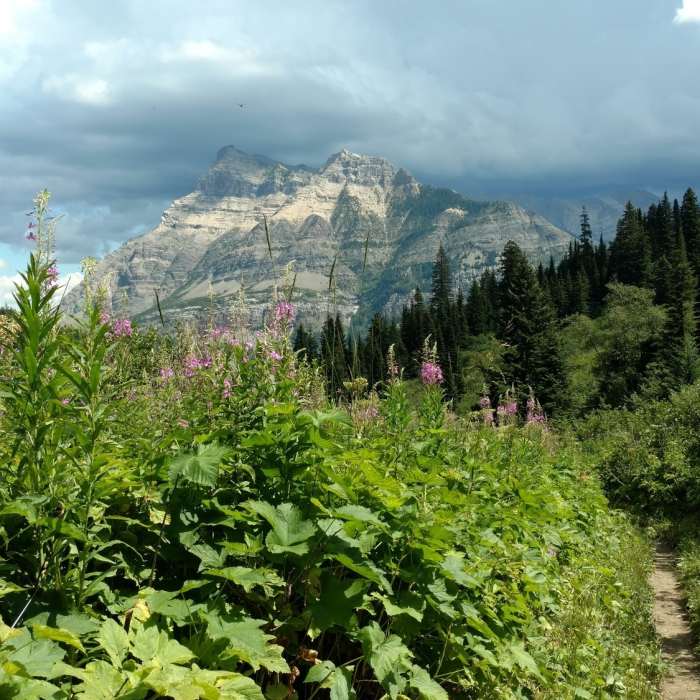
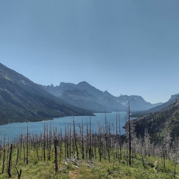
A sturdy bridge crosses Bertha Creek at the bottom of Lower Bertha Falls. Upon crossing on this bridge, the Bertha Lake Trail heads back along Bertha Creek for a very short ways. It then makes a U-turn and heads back in its original direction. It begins climbing again, now on the other side of Bertha Creek, a short ways away from the creek. This is a longer climb with rather relentless switchbacks. However, the views of Upper Waterton Lake and the surrounding peaks provide many opportunities for scenic rest breaks. As the climb progresses, the roar of Upper Bertha Falls can be heard. Eventually Upper Bertha Falls can be seen through the trees. It is narrower and taller than Lower Bertha Falls, but equally as impressive.
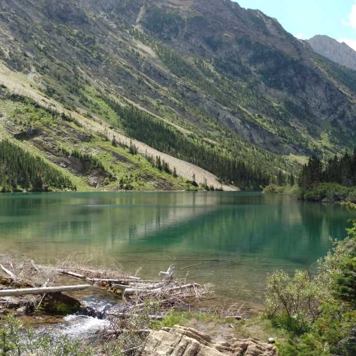
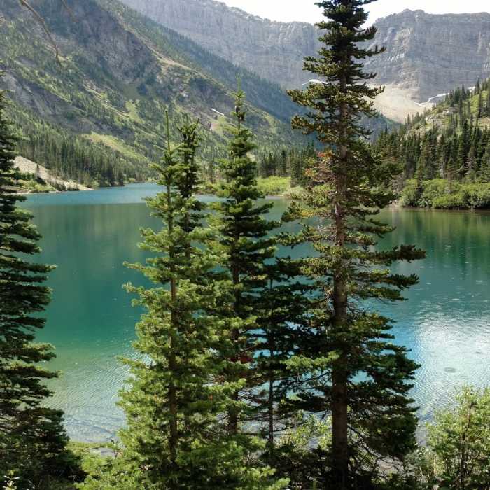
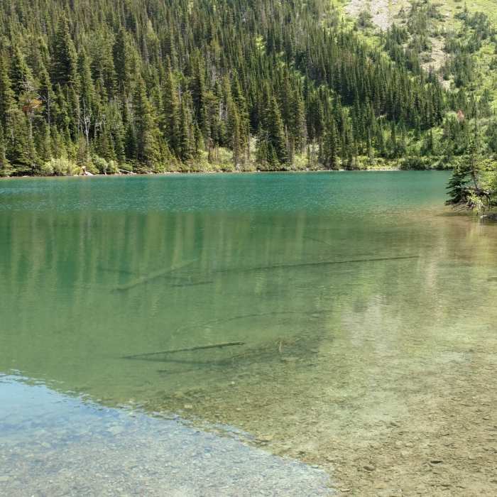
Upon reaching an elevation about even with the top of Upper Bertha Falls, the trail goes over a low ridge and Bertha Lake comes into view. It is a beautiful turquoise blue lake nestled in a valley that is walled by several peaks. Following the trail to the right along the lake shore, it passes Bertha Lake's outlet stream that feeds Upper Bertha Falls, Bertha Creek, and Lower Bertha Falls, before emptying into Upper Waterton Lake. After passing the outlet stream, there is a primitive, backwoods campground. Continuing past this campground, the trail follows the lake shore but gets increasingly overgrown and difficult to follow.
All Clear
All Clear
All Clear
Looking for more condition reports?
Continental Divide Trail: Montana-Idaho Section 30C
Continental Divide Trail: Montana-Idaho Section 30C
Contributors

