
Ready to explore this trail?
View Trail Map in AppPath Type
Point to Point
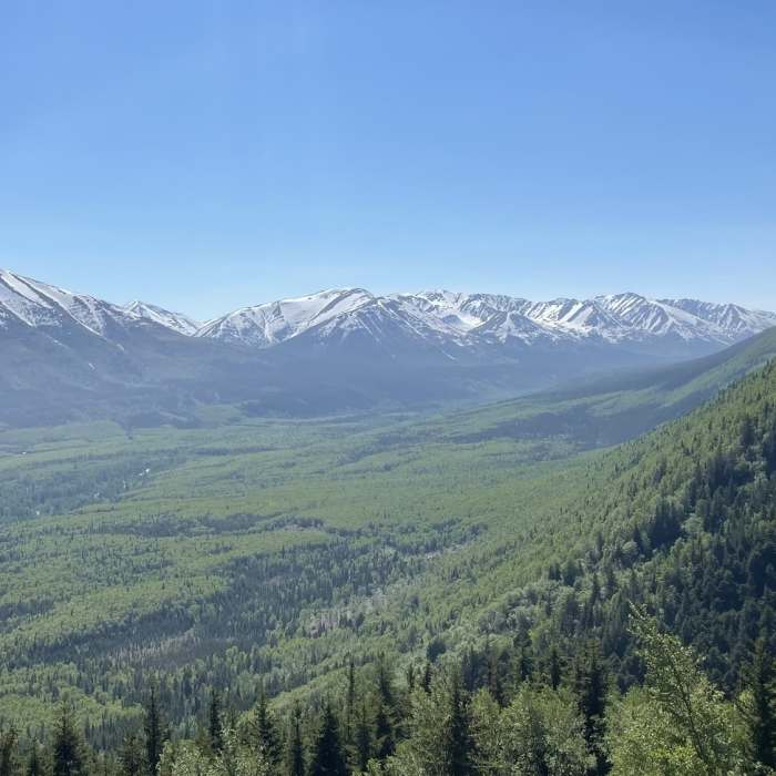
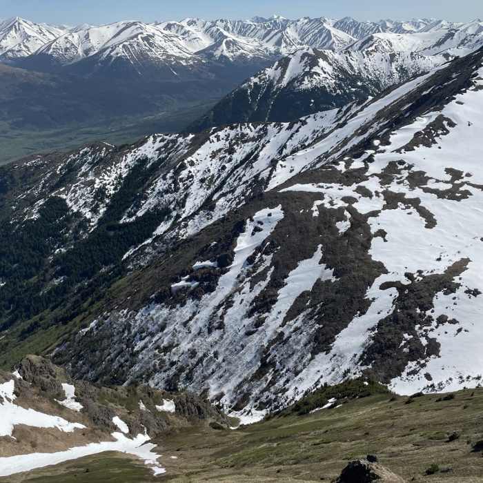
Hope Point has an elevation of 3708' and provides a very unique viewpoint of the peaks on the north side of Turnagain Arm, Anchorage, Kenai Mountains, and the Cook Inlet. A new switchback trail was put in between 2015-16 allowing for a much more pleasant hike up to the alpine than the previous trail, which is often described on other websites. Although there are no signs or re-vegetation efforts exhibited in June 2018, all should be encouraged to use the new switchback trail to help decrease the scarring effects of erosion due to the old trail's steep grade.
The trailhead is well marked off of Hope Highway about 1.4 miles past the Old Hope Road turnoff into town and features a new vault toilet, which I assume was installed in 2016. While there are multiple ways to access the Gull Rock Trail, the trailhead for Hope Point also provides access to the Gull Rock Trail.
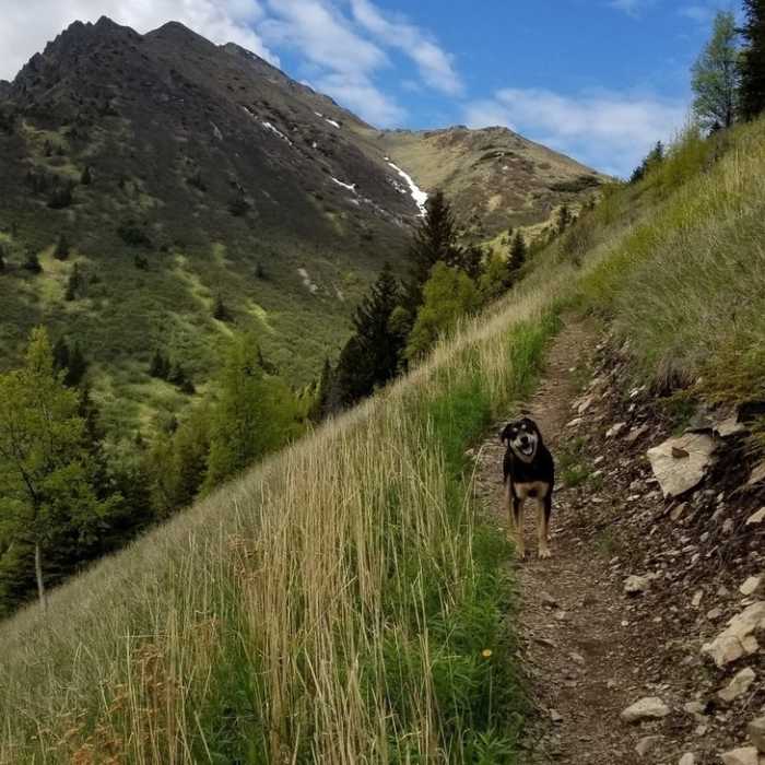
The trail starts in a wooded hillside, as is typical of most Turnagain Arm trails. Switchbacks gradually bring you up through the treeline and up into the alpine. After about 1.5 miles and 1200' of gain, the trees become more sparse and you get great views of Porcupine Creek valley and Resurrection Creek valley. After about 2.5 miles and 1800' of gain, you can catch a few glimpses of Turnagain Arm and the mountains and glaciers deep in the Arm. The trail begins to climb more aggressively above treeline, but there is really only a couple of stretches around the 3.5-mile mark where the trail is difficult. The summit is marked with a survey marker, and I've read that there is a summit register, but I neither looked for or saw one present.
I have rated this trail as intermediate for its steep grade above treeline, length, and total gain.
No Condition Reports
Contributors

