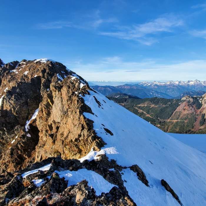
Near Tomyhoi Peak Trail
View from the false summit to the Tomyhoi Peak.
Near Tomyhoi Peak Trail
Cooling off with a swim after hiking up to Yellow Aster Butte

Looking for more photos?

View All Photos
View Map
Driving Directions
Hike Trail

Tomyhoi Peak Trail

4.0 (1 Rating)
2.8
mi
Distance
2,417
ft
Gain
strenuous
Difficulty
Fall ColorsSpringViewsWildflowers

Route Details

Flatter
Steeper
2.81mi
Distance
2,417ft
Elevation Gain
794ft
Elevation Loss
80%
Max Grade
7,372ft
High Point
5,425ft
Low Point
Path Type
Point to Point
Description
The trail is very steep and technical with a fair amount of route finding and sections of being off-trail. Tomyhoi Peak itself has a false summit and a true summit. Both require scrambling, route finding, and being comfortable with navigating challenging terrain. It is relatively inconsequential class 3 scrambling to get to the false summit but to get to the true summit requires a higher degree of technical climbing ability. Some people use ropes to access the true summit. The safest and most straightforward way to access the summit would be traveling on the glacier and going around the backside, however, that requires glacier gear and the ability to navigate glaciers.

Route Conditions

Report Conditions
No Condition Reports
Report Conditions

Nearby Hike Routes

Yellow Aster Butte

Classic Hike Route

Yellow Aster Butte

Dogs Allowed
strenuous
8.24 mi
+3,078 ft
Tomyhoi Peak via Keep Kool Trail

Classic Hike Route

Tomyhoi Peak via Keep Kool Trail

Birding
strenuous
9.61 mi
+3,083 ft
Keep Kool Butte

Hike Route

Keep Kool Butte

Birding
strenuous
6.13 mi
+2,956 ft
Winchester Mountain

Classic Hike Route

Winchester Mountain

Birding
strenuous
3.25 mi
+1,318 ft
Welcome Pass

Hike Route

Welcome Pass

Views
strenuous
4.31 mi
+2,771 ft
Hannegan Peak

Hike Route

Hannegan Peak

Views
strenuous
5.21 mi
+3,167 ft
Contributors
Hiking Project Staff
