Ready to explore this trail?
View Trail Map in AppZollicoffer Park where the trail is located is open from sunrise to sunset everyday.
Path Type
Loop
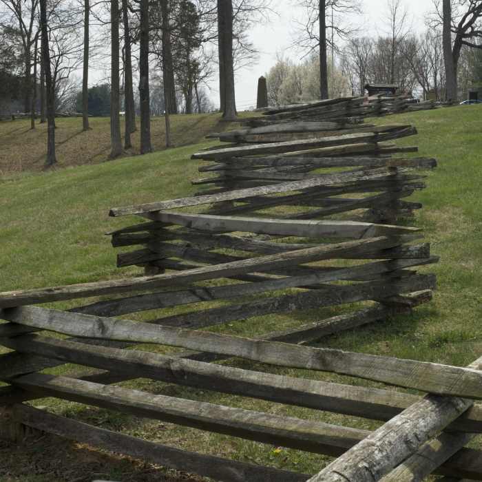
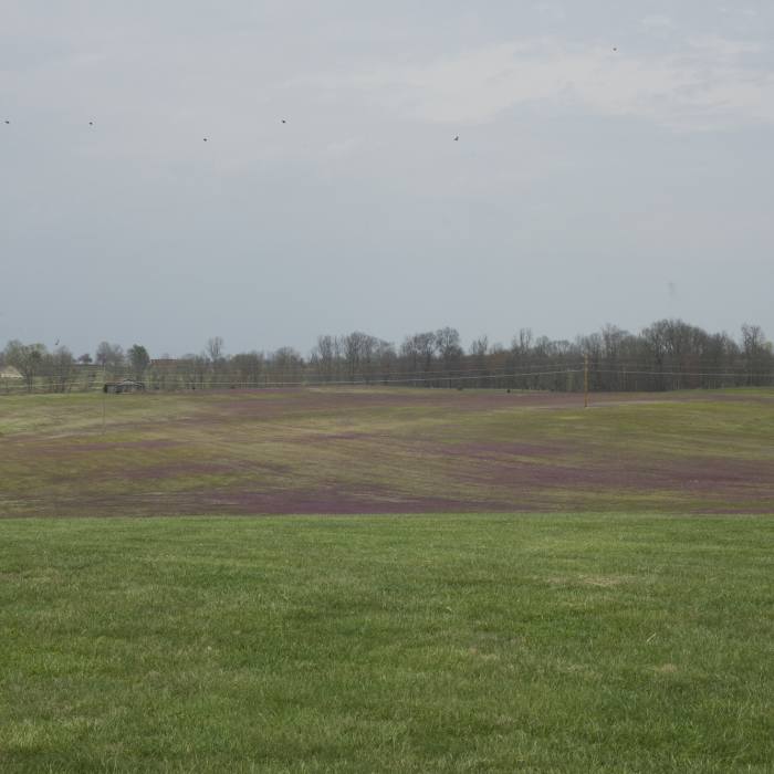
The trail starts at Zollicoffer Park located on State Highway 235. There is a small parking lot located along the road at the entrance to the park that commemorates the fallen soldiers who fought in the Battle of Mill Springs in January 1862. The park takes its name from General Felix Zollicoffer who died here leading his troops. The trail breaks off to the left and goes out into a field where you overlook the terrain that the soldiers fought on that day.
The trail drops down the hillside taking you past Union and Confederate positions and signs that provide information on the battle. Entering thew woods, the trail makes its way along the ravine that the trail takes its name after. More information signs provide information about buildings that were in the area on the day of the battle along with several benches for you to rest if you need it.
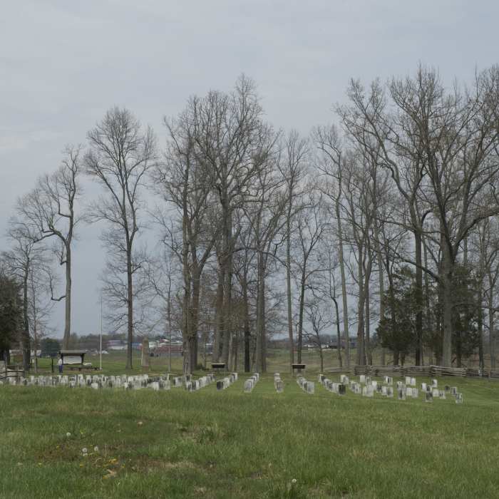
Soon, the trail emerges from the woods and makes its way across a field before turning to the right and following the road back to the cemetery where hundreds of confederate dead were buried after the battle. Here, the trail emerges back in the park where you vehicle is. From here, you can continue driving around the area, learning more about the battle that happened here.
No Condition Reports
Sheltowee Trace NRT - Section 24 Central to Suspension Bridge
Sheltowee Trace NRT - Section 24 Central to Suspension Bridge
Contributors

