Near Shagbark Loop
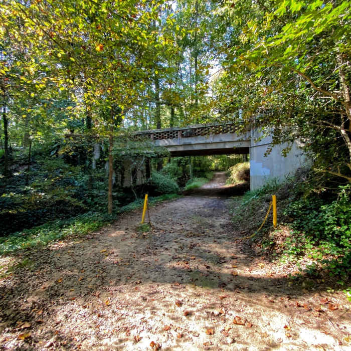
A bridge rising above the trail.
Near Shagbark Loop
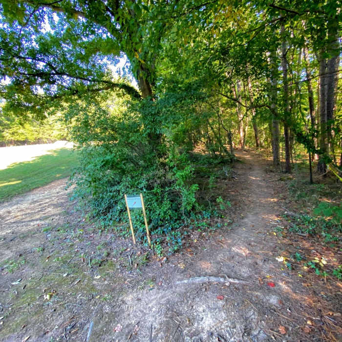
Trail entering the forest from the field.
Near Shagbark Loop
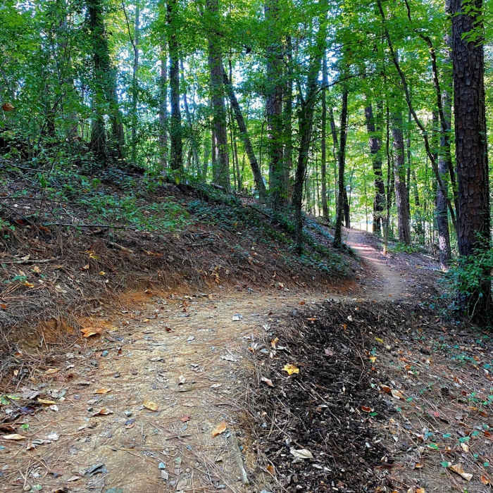
The trail curving up the hill.
Near Shagbark Loop
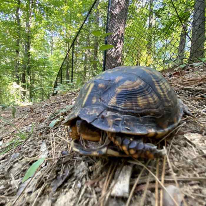
A trail monitors keeps watch.

Looking for more photos?

View All Photos
Driving Directions
Hike Trail

Shagbark Loop

3.0 (1 Rating)
A short, hilly trail through open forest.
0.5
mi
Distance
59
ft
Gain
moderate
Difficulty
BirdingOne Way Only

Route Details

Flatter
Steeper
0.5mi
Distance
59ft
Elevation Gain
68ft
Elevation Loss
15%
Max Grade
374ft
High Point
308ft
Low Point
Path Type
Point to Point
Description
Coming up to the pond, you slowly, slice your way up the side of the hill. Once you reach the ivy-thick summit the takes off down hill through high, sculpted berms. Drop down the hill and back up the other side until you pass where you came in. The next 1/4 mile is cuts along the side of the hill and features step drops. The trail finishes up at the Quail Hill Loop, which can be taken back up hill for another rsh.

Route Conditions

Report Conditions
No Condition Reports
Report Conditions

Nearby Hike Routes

Battle Branch / Bolin Creek Loop

Hike Route

Battle Branch / Bolin Creek Loop

Birding
moderate
3.53 mi
+206 ft
Korstian Foot Trail Loop

Hike Route

Korstian Foot Trail Loop

Birding
moderate
6.82 mi
+644 ft
Duke Korstian Loop

Hike Route

Duke Korstian Loop

Birding
moderate
4.01 mi
+403 ft
Johnston Mill Loop

Hike Route

Johnston Mill Loop

Fall Colors
moderate
2.94 mi
+194 ft
Copperhead Out-and-Back

Hike Route

Copperhead Out-and-Back

Fall Colors
moderate
4.09 mi
+195 ft
Al Buehler and Sally Meyerhoff Trails

Hike Route

Al Buehler and Sally Meyerhoff Trails

Birding
moderate
3.71 mi
+259 ft
Contributors
onX Maps, Inc
