Ready to explore this trail?
View Trail Map in AppPath Type
Point to Point
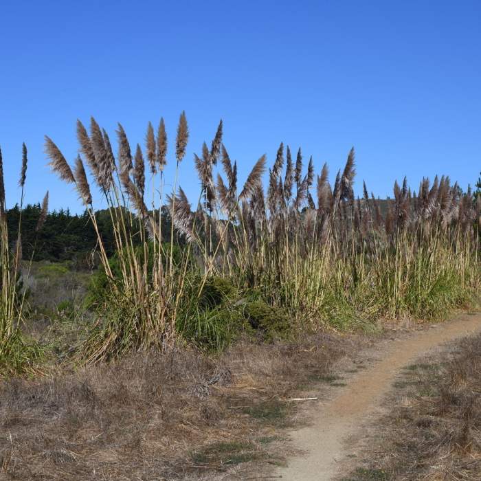
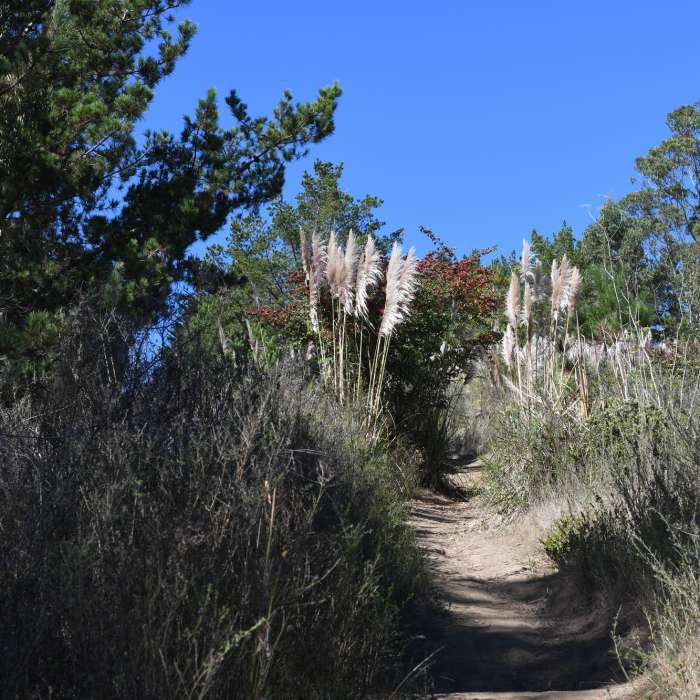
The San Carlos Trail runs for a little over a half mile along the lower boundary of Rancho Corral de Tierra and provides access to trails that climb higher into one fo the largest undeveloped pieces of land on the San Mateo Peninsula. For the purpose of this description, the trail begins at the end of Almeria Ave, where there is a spot for a couple of cars. If you go straight ahead, or slightly to the right, the Almeria Trail climbs up into the hills while the San Carlos Trail goes off to the left and works its way behind the homes on San Carlos Ave. The dirt trail moves in and out of tree cover through this section.
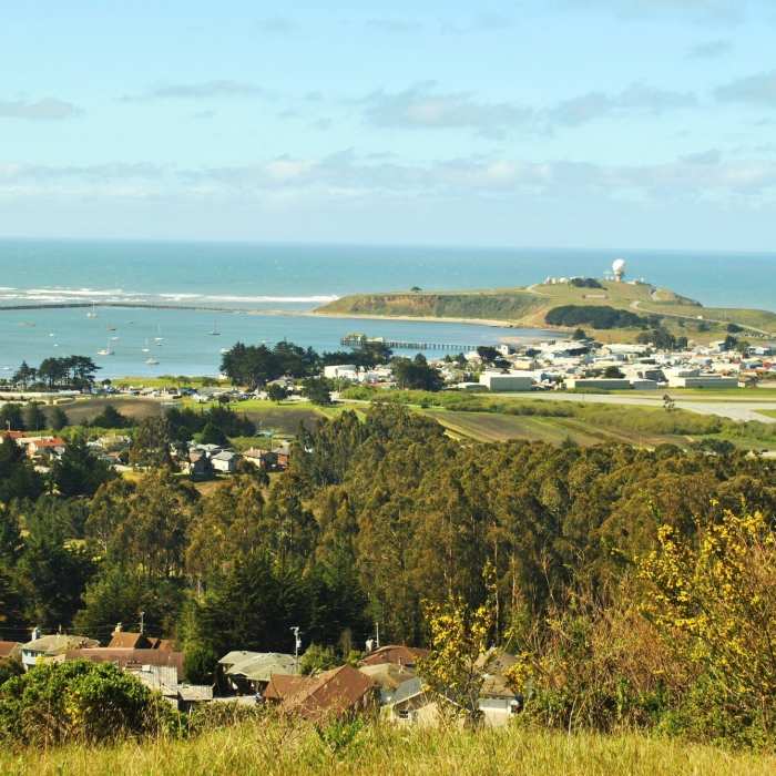
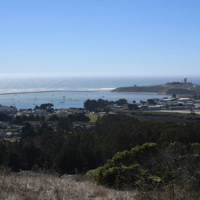
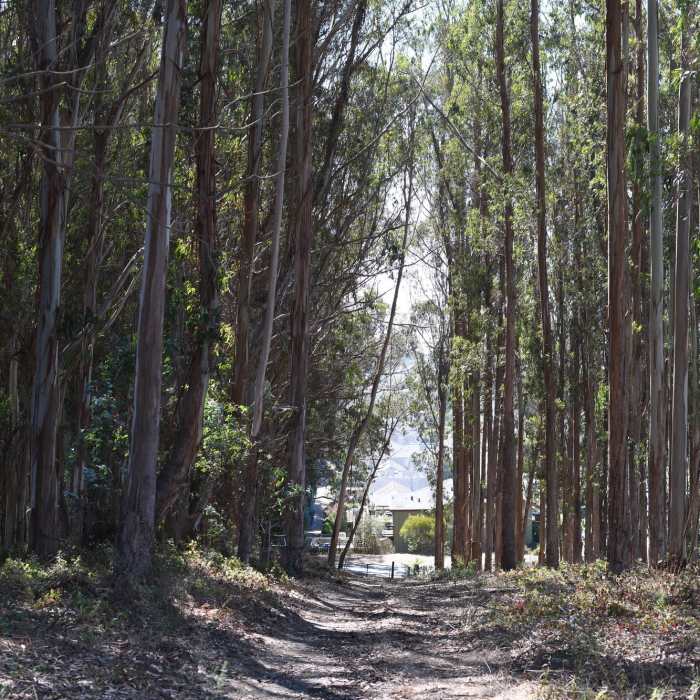
There are a series of footpaths that lead to some of the homes, indicating that the residents enjoy accessing the trail. At roughly 0.2 miles, the trail crosses the Clipper Ridge Trail and then descends along a grove of eucalyptus trees as it nears a parking area at the end of Coral Reef Ave. The trail then breaks off to the right and follows the park boundary, weaving in and out of trees and open areas. There are areas that are a little washed out, so watch your footing. Shortly after the half mile mark, the trail comes to a junction where several trails meet and you have a couple of options. The Flat Top Trail breaks off to the right and climbs uphill to great views of the ocean.
The French Trail continues straight ahead and due to its grade, is popular with mountain bikers, so be on the lookout for them as you continue. The trail to the left leads down to a subdivision on Harbour Drive. The Flat Top Trail and French Trail can be used to create loops, depending on how far you want to go, or you can just retrace your steps back to your car.
The trail is never far from civilization, but provides you the opportunity to climb up into the hills where you are a little further away from the hustle and bustle of the communities.
No Condition Reports
Contributors

