Ready to explore this trail?
View Trail Map in AppPortions of the trail will be closed for restoration through 2020. These parts can be bypassed via the steep Culver City Steps Trail (which will also be restored when the trails are open).
Path Type
Point to Point
The trail can be tackled from two start points in two ways: either park on the street and ascend, or park at the hilltop visitor center ($2/hr or $6 day) and hike down. If accessibility is a consideration for you, the trail from the top to the main viewpoints is very short and easy.
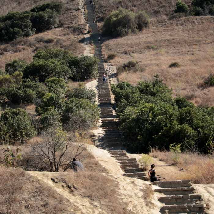
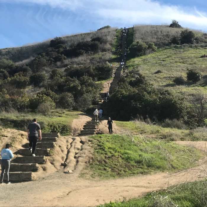
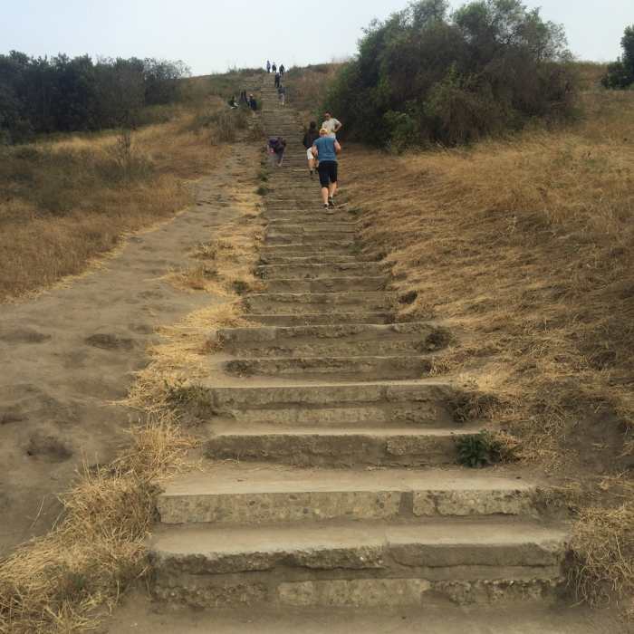
Most people go from the bottom and the trail can end up congested in places. After one switchback you are presented with two route options. You can either continue on the trail as it weaves up the hill (the longer option), or there is the Culver City Steps Trail. The stairs are an interesting challenge; they're too big to be climbed quickly, I tried pacing myself to reach each new step in stride and it turned into more of a tough, long lunge than a run (and I'm a lanky 6'1").
Aside from the difficulties the huge stairs present, they are also much busier than the dirt path. A lot of people are looking to push themselves to do something more difficult and it is certainly a hard-earned reward if you can make it to the top at any pace without a break.
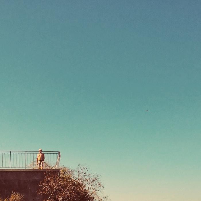
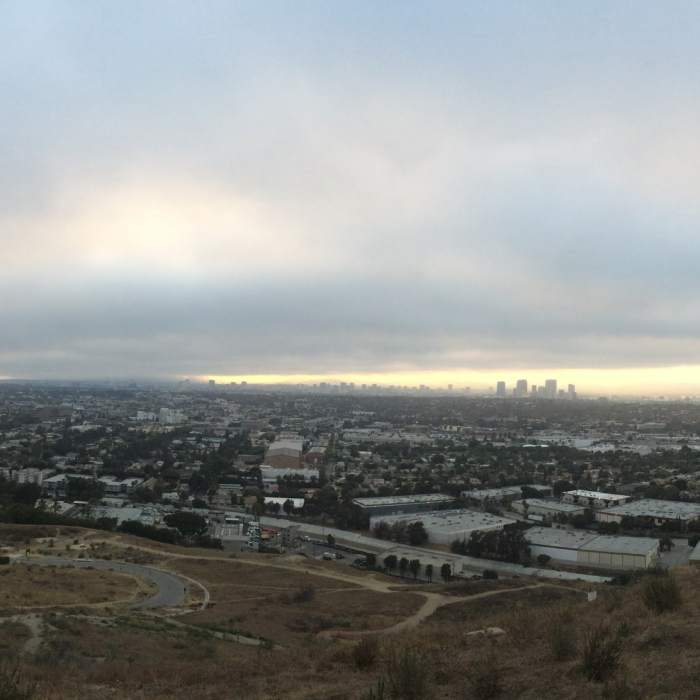
Either way, aim for a good air day to get to the top. If you have blue skies, you'll see all of LA from Downtown to Santa Monica to the north and the rolling hills to the south. Even on a smoggy day it's worth checking out for the wildflowers, songbirds, and to the east after the Playa-to-Park Trail, the Stoneview Nature Center.
No Condition Reports
Contributors

