Ready to explore this trail?
View Trail Map in AppClosed in the month of August due to heat.
Path Type
Point to Point
The Mt. Gower Trailhead is located at the Mt. Gower Preserve (a San Diego County Park). The preserve is at the end of Gun Stage Road in the San Diego Country Estates. Continue past the gate for 1/4 mile to a good size parking area with restrooms, water, a picnic area, and an equestrian staging area.
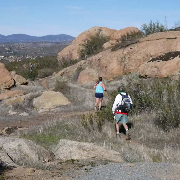
There is only one trail from the parking lot, but it forks about 1/4 mile in. Take a right at the fork...the other trail continues to a viewpoint in the west part of the preserve. Continue uphill on a very well groomed trail until you come to another fork marked by a wooden bench. Take a left and descend along an exposed ridge. A water tower situated on an adjacent ridge will come into view. A third intersection will appear, take a left and descend into the bottom of a gully. Cross the seasonal stream and start a very steep climb onto the ridge where the water tower is located. Traverse the ridge onto Mt. Gower.
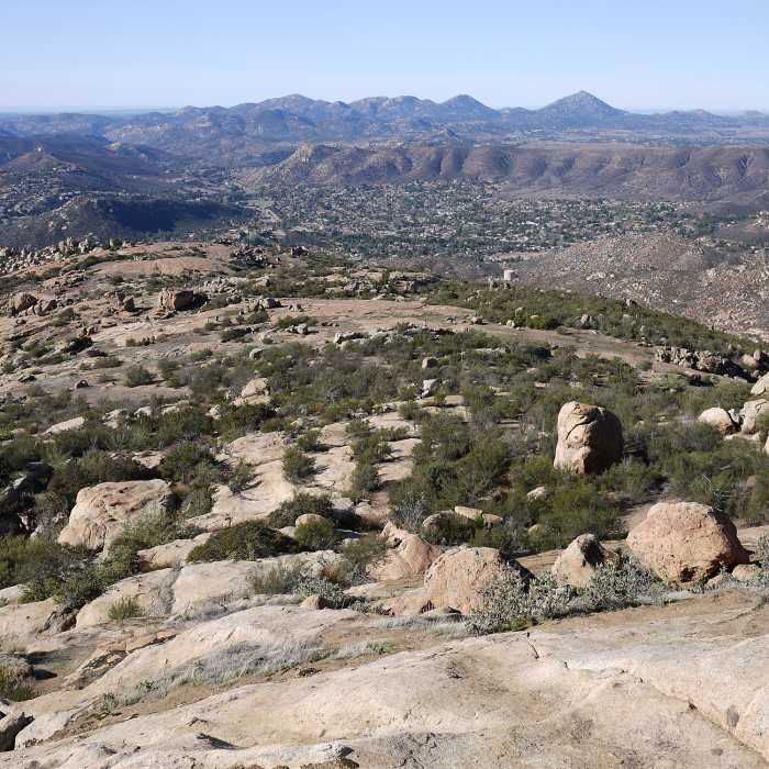
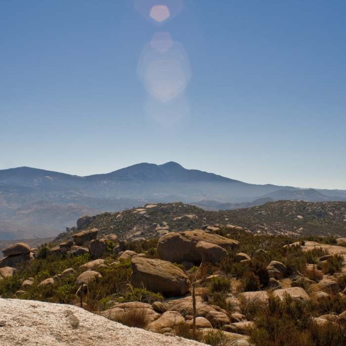
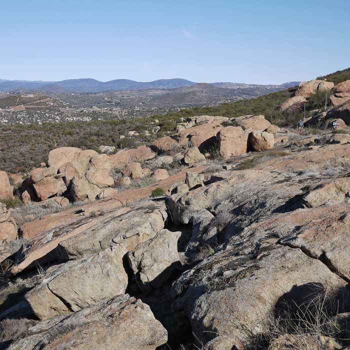
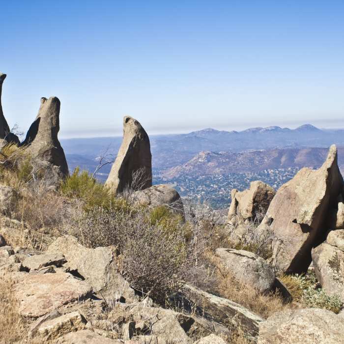
As the ascent continues, the trail grows progressively narrow, steep, and overgrown. Route finding becomes difficult around the 3-mile mark. Here you'll encounter a granite slab amidst a field of unique boulders. A trail continues downhill and east; do not take this trail. Instead continue up the granite slab following the artificial lines that mark the Mt Gower Trail. From here a substantial amount of scrambling and route finding is required. Enjoy the 360-degree views from the summit!
For more information visit the park's website.
No Condition Reports
Cedar Creek Falls
Cedar Creek Falls
Three Sisters Falls
Three Sisters Falls
El Cajon Mountain
El Cajon Mountain
Santa Ysabel County Preserve East
Santa Ysabel County Preserve East
Iron Mountain Peak Trail #10
Iron Mountain Peak Trail #10
Viejas Mountain
Viejas Mountain
Contributors

