Ready to explore this trail?
View Trail Map in AppOpen from sunrise to sunset. No overnight camping.
Path Type
Point to Point
The trail starts from a signed parking lot accessed from FM 106. There is a $3 entry fee that you should pay before starting along the trail. There is a toilet at the parking lot, but no water source.
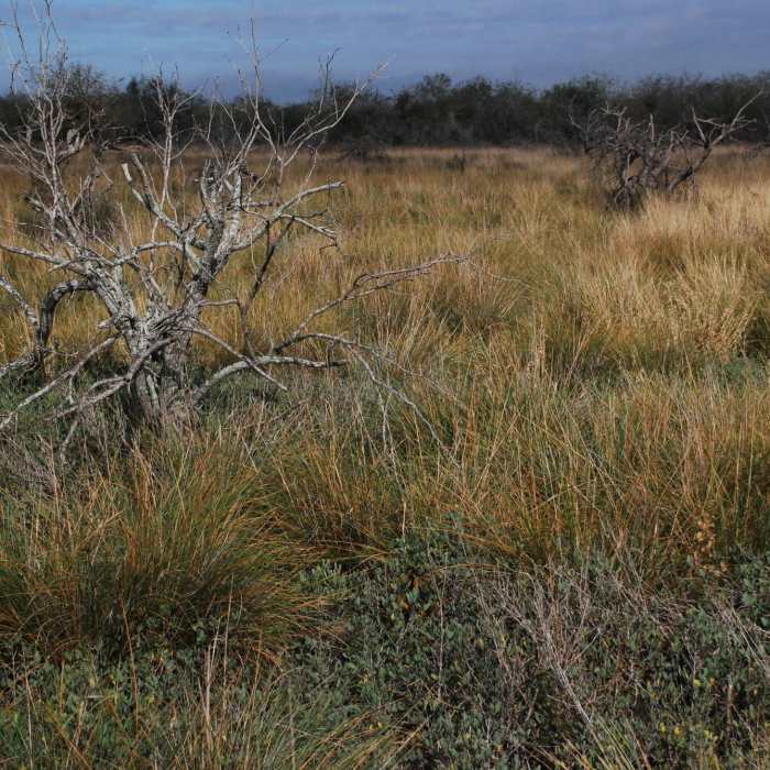
From the trailhead, you can either complete the loop in a clockwise or counter-clockwise direction. To follow as mapped, take the right fork when the trail splits just south of the parking lot. The trail starts off through south Texas prairie along an old access road. After 0.75 miles, you'll enter the first stand of chaparral with dense undergrowth. Keep an eye out for animal tracks (javelina, nilgai, ocelot, and cougar) during the hike.
For the next 1-1.5 miles, you'll wind through a mix of prairie and chaparral. Watch the trees and bushes for birds, and keep an eye out for falcons soaring overhead. The trail ends with a hike between a wash to the east and two low-lying areas to the west, which fill with water during the wet season. During the dry season, they are covered with prairie grass and are excellent deer and nilgai habitat.
There is very limited shade on this trail, so bring plenty of water and avoid hiking during the hottest parts of the day in summer. Dawn and dusk are the best time to see wildlife. Keep all dogs leashed and away from water sources, as alligators are common. Cougars have been sighted recently in the area and their tracks and scat were frequent along the trail in 1/2018.
No Condition Reports
No Nearby Hike Routes
Contributors

