

Ready to explore this trail?
View Trail Map in AppPath Type
Point to Point
The trail starts on Germantown Avenue where the road crosses Wissahickon Creek. It ends down at Historic Rittenhouse Town.
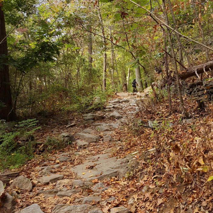
In between is a pretty technical set of trails that take you through some really pretty territory.
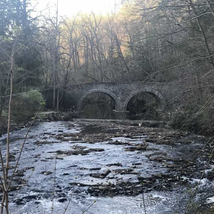
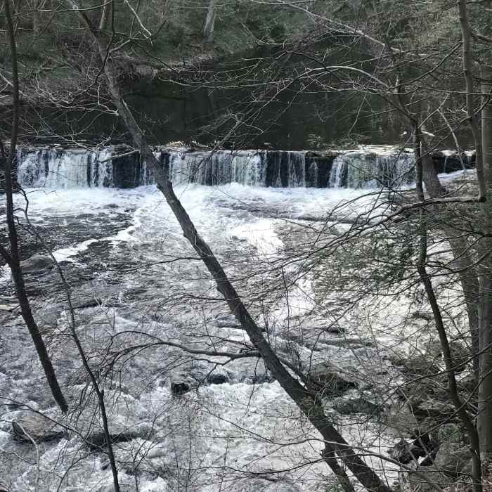
The trail winds down the Wissahickon Creek and passes by covered bridges, dams, light rapids and crosses streams.
Check out the covered bridge in the first third of the trail and the Fingerspan bridge sculpture in the last third. This sculpture had to be helicoptered into place!
The trail is not marked very clearly, so make sure you pay attention at intersections etc. When in doubt stay closer to the creek and use the Mobile App to make sure you stay on track.
No Condition Reports
North Wissahickon Loop
North Wissahickon Loop
Wissahickon Valley Park
Wissahickon Valley Park
Pennypack Paper Mill Loop
Pennypack Paper Mill Loop
Joseph Plumb Martin Trail + Mount Joy Trail
Joseph Plumb Martin Trail + Mount Joy Trail
Walnut Hill Commissary & River Trails Loop
Walnut Hill Commissary & River Trails Loop
Joseph Plumb Martin Trail
Joseph Plumb Martin Trail
Contributors

