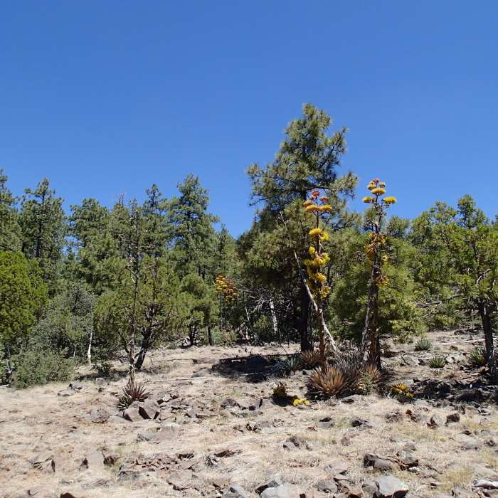
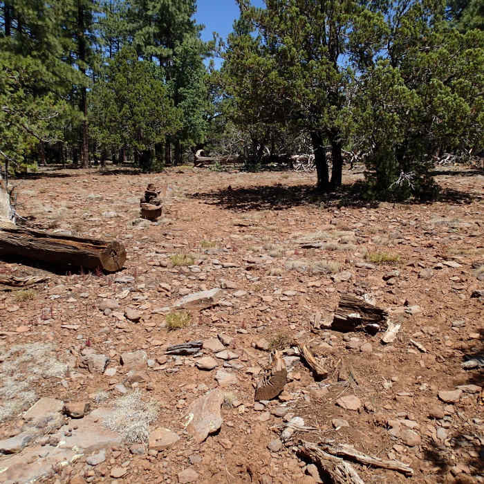
Near Hog Hill Trail
This old winter cabin barely stands along the Hog Hill Trail.
Near Hog Hill Trail
This is the trailhead for Dorsey Spring Trail (right) and Hog Hill Trail (left).
Near Hog Hill Trail
Dorsey Spring traverses established forest on a pleasant tread.
Near Hog Hill Trail
The trail is difficult to follow in this section, so keep your wits about you.
Near Hog Hill Trail
Occasional cairns can be found along the trail, but do not rely on them for navigation.

Looking for more photos?

View All Photos
Driving Directions
Hike Trail

Hog Hill Trail

3.0 (2 Ratings)
A wide trail ascending from the rim of Sycamore Canyon.
2.1
mi
Distance
99
ft
Gain
strenuous
Difficulty
Commonly Backpacked
Access Issues
Check with the Coconino Ranger Station for current campfire restrictions.

Route Details

Flatter
Steeper
2.15mi
Distance
99ft
Elevation Gain
659ft
Elevation Loss
20%
Max Grade
6,928ft
High Point
6,286ft
Low Point
Path Type
Point to Point
Description
This trail does not offer any vista or views. To access the trail, park at the intersection of Forest Service road 538G and 538E. Hike down 538E until you reach the trailhead of Hog Hill and Dorsey Spring Trails. Hog Hill is to the left. Hike down the wide path for about 1 mile. After this point, the trail gets very difficult to follow. It is important to download this route to follow or, as I did, use Google Map terrain or the Mobile App. The Hog Hill Trail can be seen and marked on Google. I took this trail from Kelsey Spring Trail and up to the trailhead as part of a loop hike. Once past this difficult section through open terrain and downed trees, you'll re-enter the forest continuing downhill. At the end of the trail is the Winter Cabin Trail and the Kelsey Spring Trail. Hike down a little further, and you'll reach a primitive cabin. It makes for good shelter but doesn't look great for winter use.

Route Conditions

Report Conditions
No Condition Reports
Report Conditions

Nearby Hike Routes

Kelsey/Hog Hill/Dorsey Loop

Hike Route

Kelsey/Hog Hill/Dorsey Loop

Spring
strenuous
12.49 mi
+2,783 ft
West Fork Upper Extension from 231

Hike Route

West Fork Upper Extension from 231

Fall Colors
strenuous
10.64 mi
+6,002 ft
Sycamore Basin Trail Out and Back

Hike Route

Sycamore Basin Trail Out and Back

Birding
moderate
10.05 mi
+1,251 ft
Secret Mountain Trail Out and Back

Hike Route

Secret Mountain Trail Out and Back

Birding
moderate
10.81 mi
+2,103 ft
Sycamore Rim

Hike Route

Sycamore Rim

Birding
moderate
10.91 mi
+1,074 ft
Casner Mountain Out and Back

Hike Route

Casner Mountain Out and Back

Views
moderate
13.8 mi
+3,419 ft
Contributors
John Maurizi
