Near Upper Schuylkill River Trail
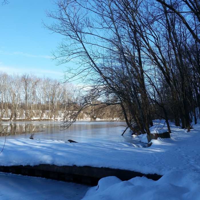
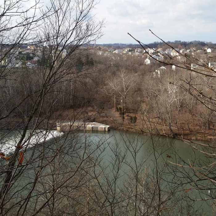
Black Rock Dam along the Upper Schuylkill River Trail, January 2016
Near Upper Schuylkill River Trail
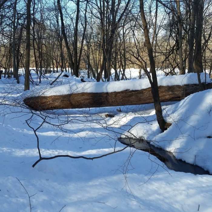
Looking downstream at the Neal Thorpe Trail, January 2016
Near Upper Schuylkill River Trail
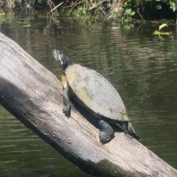
Turtle in the canal.
Near Upper Schuylkill River Trail
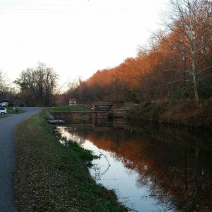
Looking upstream at the lower gates of Lock 60.
Near Upper Schuylkill River Trail
Looking over the Schuylkill River at Phoenixville, PA from the ravines at the top of the Neal Thorpe Trail

Looking for more photos?

View All Photos
Driving Directions
Hike Trail

Upper Schuylkill River Trail

2.0 (1 Rating)
A short trail along the Schuylkill River connecting Lock 60 Park and Upper Schuylkill Valley Park.
1.4
mi
Distance
39
ft
Gain
moderate
Difficulty
Family FriendlyRiver/CreekWaterfallWildlife

Route Details

Flatter
Steeper
1.42mi
Distance
39ft
Elevation Gain
40ft
Elevation Loss
10%
Max Grade
132ft
High Point
86ft
Low Point
Path Type
Point to Point
Description
NOTE: This portion of trail is not associated with the longer-distance Schuylkill !River Trail and not part of that system. This may become an alternate path for the longer trail, but the official Schuylkill !River Trail is located on the Chester County or western side of the river. Instead, this trail is part of the proposed "Schuylkill East Trail" which would be a similar long distance trail. Though this section is complete, the longer trail is still in progress (or possibly just in planning). This trail follows the Schuylkill River on the Montgomery County side of the river. From the parking area at Lock 60 Park, cross the small footbridge over the canal and turn left. Go past the gate and follow a small footpath upriver. In the beginning, this will be a grassy path. Along your left there will be the remnants of moorings for the canal and an older generating station. At the upriver end of the canal is Black Rock Dam, which is about 1/3 mile into the route. Depending on river levels, it may be difficult to proceed beyond the dam. Normally, the far right edge of the dam is exposed and passable. From here, the trail becomes more gravel/rock bed and narrower with a few spots of mud and small water crossings. At the upriver end of the trail, you'll come to Upper Schuylkill Valley Park and Wildlife Center operated by Montgomery County. There is also a picnic and parking area here.

Route Conditions

Report Conditions
No Condition Reports
Report Conditions

Nearby Hike Routes

Audubon Loop

Hike Route

Audubon Loop

Birding
moderate
4.28 mi
+234 ft
Walnut Hill Desilting Basin

Hike Route

Walnut Hill Desilting Basin

Birding
moderate
2.11 mi
+30 ft
Valley Creek and Knox Farm

Hike Route

Valley Creek and Knox Farm

Family Friendly
moderate
1.02 mi
+49 ft
Walnut Hill Commissary & River Trails Loop

Hike Route

Walnut Hill Commissary & River Trails Loop

River/Creek
moderate
6.23 mi
+138 ft
Joseph Plumb Martin Trail

Hike Route

Joseph Plumb Martin Trail

Birding
easy
5.56 mi
+314 ft
Joseph Plumb Martin Trail + Mount Joy Trail

Hike Route

Joseph Plumb Martin Trail + Mount Joy Trail

moderate
6.47 mi
+626 ft
Contributors
Jeff Menaker
