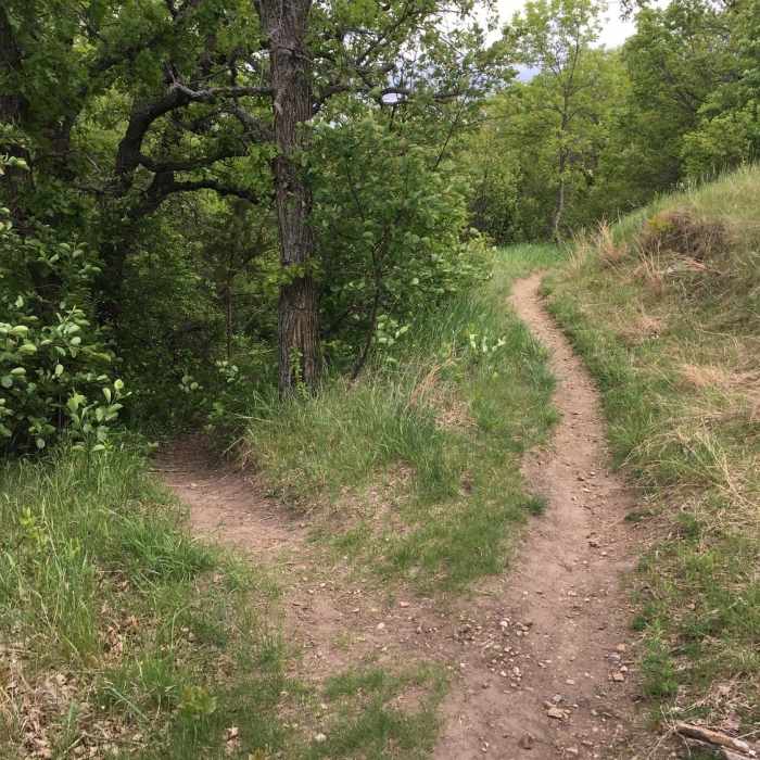
Near Young Hawk Interpretive Trail
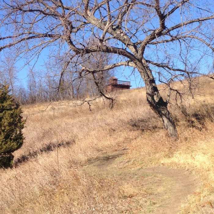
View up towards the infantry post blockhouses.
Near Young Hawk Interpretive Trail
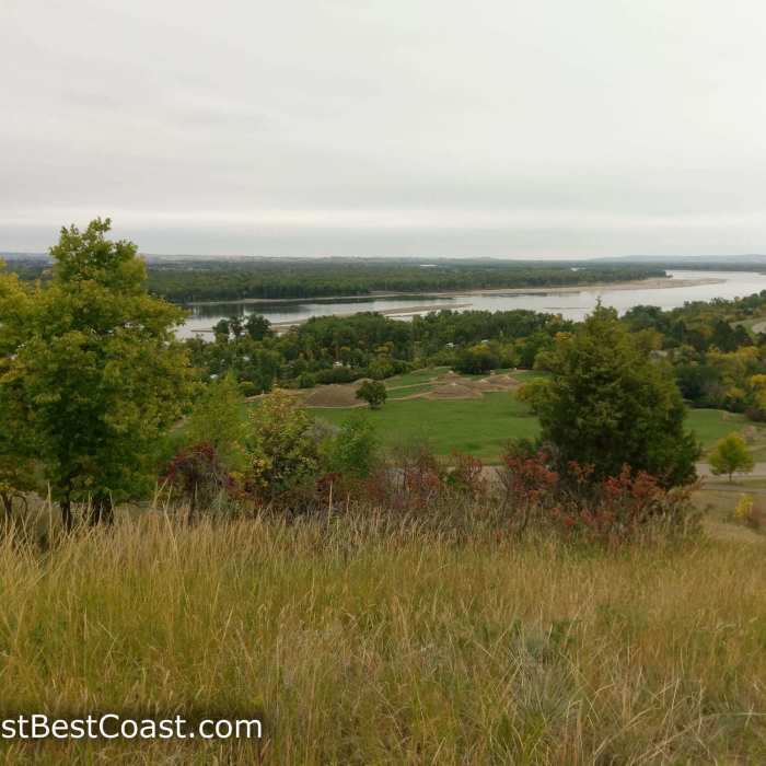
View of On-A-Slant Village and the Heart River
Near Young Hawk Interpretive Trail
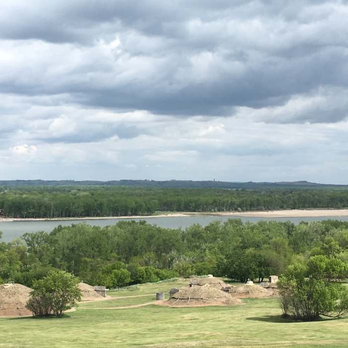
Enjoy great views of the reconstructed earthlodge village and Missouri River from the Little Soldier Loop.
Near Young Hawk Interpretive Trail
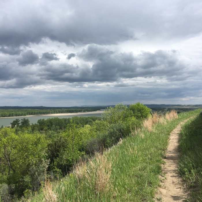
Little Soldier Loop Trail follows right along the Missouri River.
Near Young Hawk Interpretive Trail
This is the junction of Hillside Connector Trail and Little Soldier Loop.

Looking for more photos?

View All Photos
View Map
Driving Directions
Hike Trail

Young Hawk Interpretive Trail

5.0 (1 Rating)
A trail with views of the Missouri River, earth lodges, and block houses.
1.1
mi
Distance
148
ft
Gain
moderate
Difficulty
Fall ColorsRiver/CreekViewsWildlife

Route Details

Flatter
Steeper
1.13mi
Distance
148ft
Elevation Gain
150ft
Elevation Loss
25%
Max Grade
1,911ft
High Point
1,756ft
Low Point
Path Type
Point to Point
Description
Begin at the trailhead sign for the Scouts Trail System. Proceed to your left and follow the path as it winds up the bluff. The trail has numbered posts and a corresponding trail guide describing the history, plants, and wildlife of the area. Trail guides are available at the trailhead, visitor center, and entrance stations. The trail traverses the top of the bluff and the edge of the historic infantry post, crosses the road that goes up to the block houses, then winds down the bluff with spectacular views of the Missouri River Valley to the south. Near the end, the trail joins with the paved bicycle trail. If you want to make a loop, take that north where it again crosses the blockhouse road, then with the trailhead sign in site, and proceed northeast to the start.

Route Conditions

Report Conditions
No Condition Reports
Report Conditions

Nearby Hike Routes

Hills and Views Loop

Hike Route

Hills and Views Loop

Birding
moderate
3.72 mi
+364 ft
Matah and Interpretive Trail Loop

Hike Route

Matah and Interpretive Trail Loop

Birding
easy
2.54 mi
+2 ft
Ma-ak-oti Trail Loop

Hike Route

Ma-ak-oti Trail Loop

Birding
easy
4.07 mi
+206 ft
North Country Trail Western Terminus Loop

Hike Route

North Country Trail Western Terminus Loop

Birding
moderate
2.39 mi
+157 ft
North Country Trail: Jensen Campround to Coal Mine Lake Campground

Hike Route

North Country Trail: Jensen Campround to Coal Mine Lake Campground

Birding
moderate
5.39 mi
+154 ft
North Country Trail: Lonetree WMA Valley View Hike

Hike Route

North Country Trail: Lonetree WMA Valley View Hike

Birding
moderate
4.87 mi
+187 ft
Contributors
Karen Ryberg
