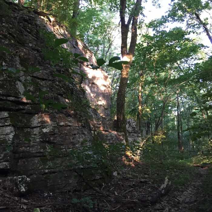
Near Cold Springs Trail
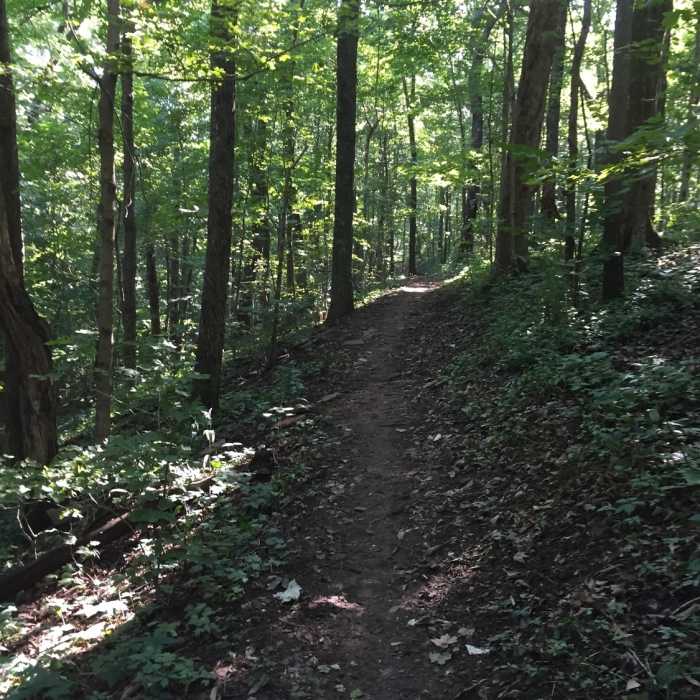
Singletrack on the North Plateau Loop
Near Cold Springs Trail
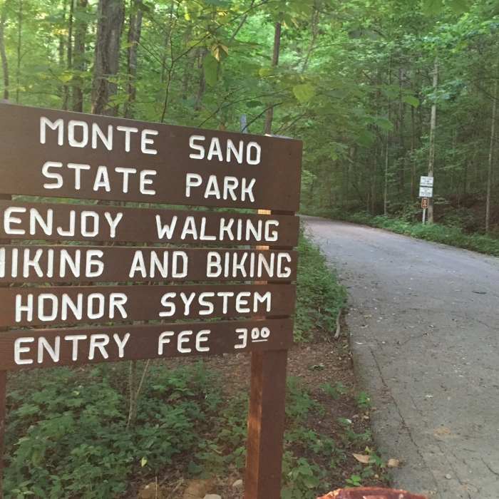
Entrance into Monte Sano State Park form the close section of Bankhead Parkway.
Near Cold Springs Trail
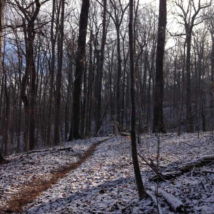
Snow for Mountain Mist
Near Cold Springs Trail
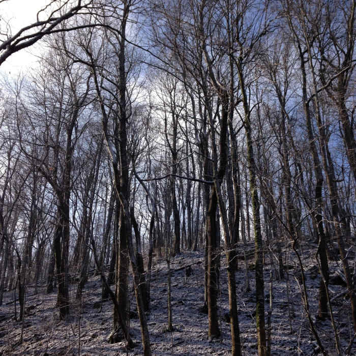
Beautiful morning on the mountain!
Near Cold Springs Trail
Rock wall at the top of the Toll Gate Trail.

Looking for more photos?

View All Photos
Driving Directions
Hike Trail

Cold Springs Trail

4.0 (3 Ratings)
A somewhat dangerous trail that features a natural spring.
1.2
mi
Distance
76
ft
Gain
strenuous
Difficulty
River/CreekWaterfallWildflowersWildlife

Route Details

Flatter
Steeper
1.19mi
Distance
76ft
Elevation Gain
279ft
Elevation Loss
40%
Max Grade
1,615ft
High Point
1,403ft
Low Point
Path Type
Point to Point
Description
Colds Springs Trail Starts off of the North Plateau Loop, runs past Cold Springs and the Fearn Street trailhead before looping back around. Along the way, it also intersects with Mountain Mist. The Cold Springs is a natural spring that is the origin point of Cold Spring Creek and is located near the end of the trail, nestled within the large limestone boulders that you commonly see on Monte Sano Mountain. The start of the trail is rocky, steep, and dangerous when wet or icy. The trail continues to decline until half way through when it starts to incline toward the Cold Spring. After the springs, you'll come to the Fearn Street Trailhead where it loops back down on what use to be the Cold Springs Loop Trail.

Route Conditions

Report Conditions
No Condition Reports
Report Conditions

Nearby Hike Routes

North Plateau Loop

Hike Route

North Plateau Loop

Fall Colors
moderate
1.84 mi
+79 ft
Stone Cuts to Golan Heights Loop

Hike Route

Stone Cuts to Golan Heights Loop

Cave
strenuous
3.66 mi
+482 ft
Old Railroad Bed to Alms House

Hike Route

Old Railroad Bed to Alms House

River/Creek
moderate
1.6 mi
+271 ft
High Trail to Hotel Basin

Hike Route

High Trail to Hotel Basin

Fall Colors
strenuous
4.56 mi
+821 ft
Blevins Gap

Hike Route

Blevins Gap

Fall Colors
strenuous
10.98 mi
+1,809 ft
Devils Racetrack

Hike Route

Devils Racetrack

Birding
moderate
3.32 mi
+269 ft
Contributors
Luke Brisk
