Ready to explore this trail?
View Trail Map in AppClosed after dark.
Path Type
Point to Point
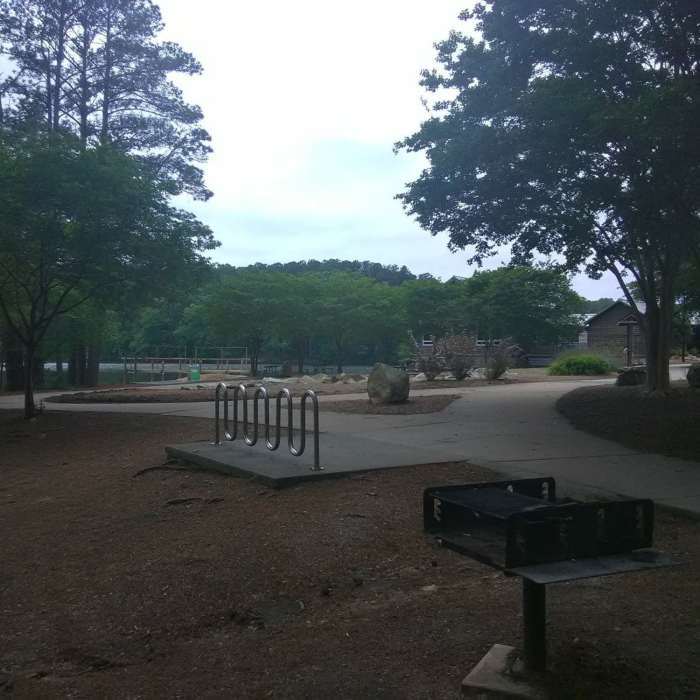
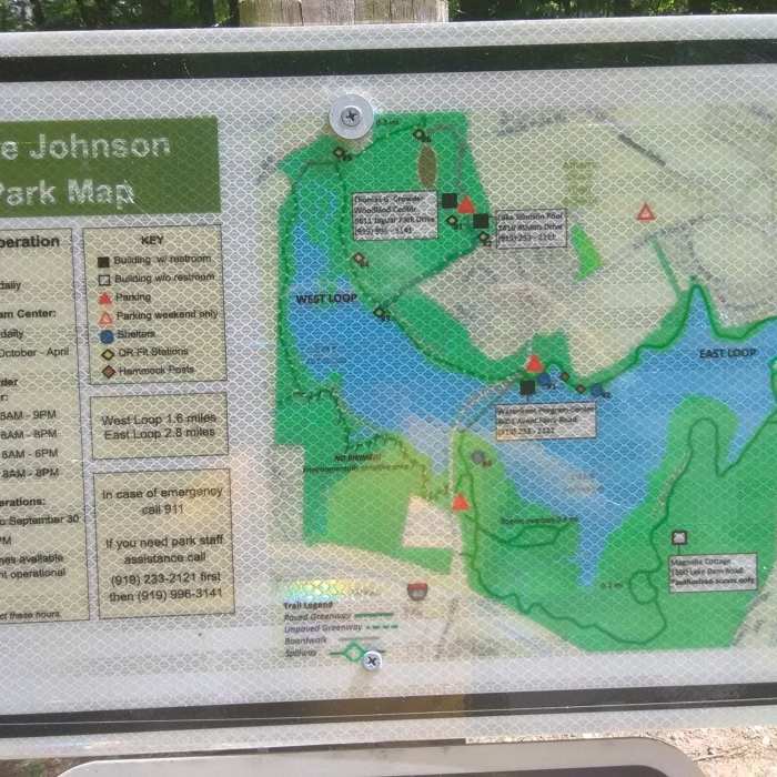
This route starts from the parking lot at the eastern end of the lake, near the dam. Other parking/starting options include the parking lot at the park boathouse and the parking lot off of Avent Ferry on the south side of the lake.
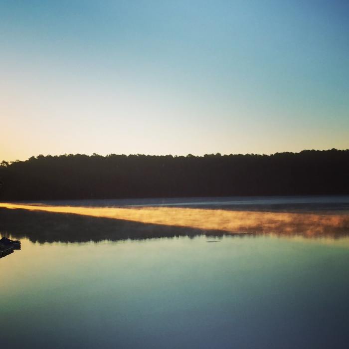
Traveling clockwise around the lake, the route crosses the dam, with great views looking west across the water. After crossing the dam, the route heads into the woods and contours around a cove on the south side of the lake. The trail has a few ups and downs before coming to a split in the trail. This route continues straight (scenic loop) and rejoins the main trail after a couple tenths of a mile.
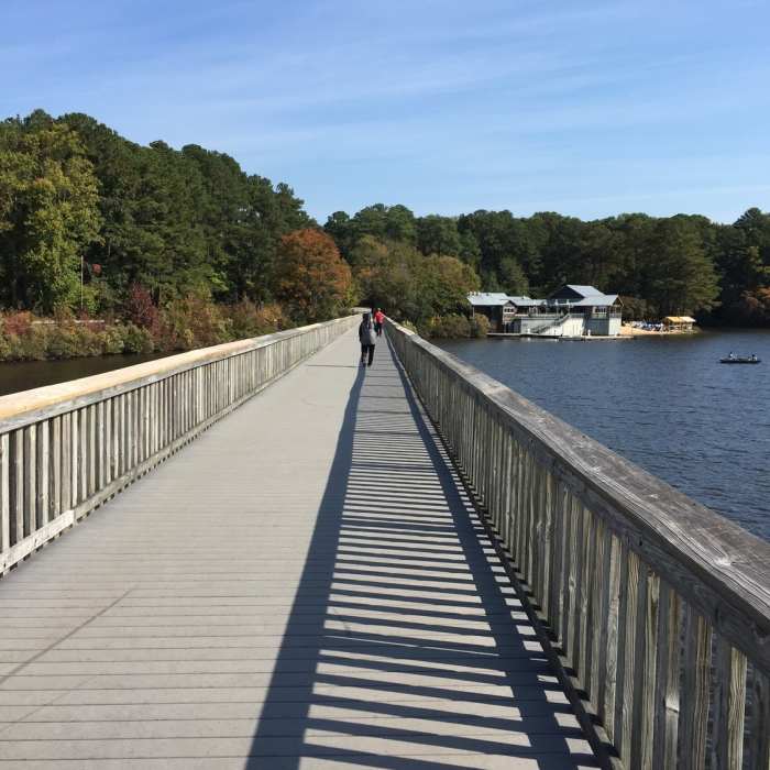
The route continues around the south side of the lake with two more ups and downs, the most significant hills on the route. After topping out on the second hill, there are some side trails coming in from the south, leading to the Avent Ferry parking area and the East Loop Trail. There is one side trail that comes in from the north and heads out to make another scenic loop. This route continues straight, moving past these side trails and dropping downhill to the Lake Johnson footbridge. Crossing the footbridge, there are great views of the lake and boathouse. Once across the bridge, continue traveling clockwise around the loop, passing in front of the boathouse (restrooms here) and the main parking area.
Continue on the Walnut Creek Trail to return to your vehicle, and this path heads back into the woods, contouring around the north side of the lake on a relatively level course back to the start of the route on the north side of the dam.
All Clear
All Clear
Looking for more condition reports?
Contributors

