Ready to explore this trail?
View Trail Map in AppThis trail is within the White Mountain Wilderness Area and wilderness area rules apply.
Path Type
Point to Point
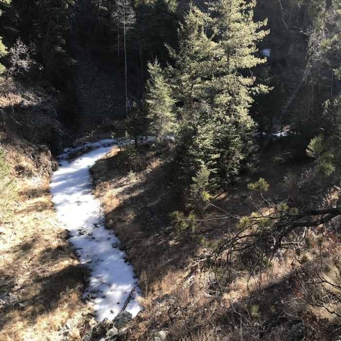
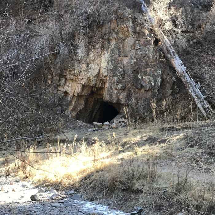
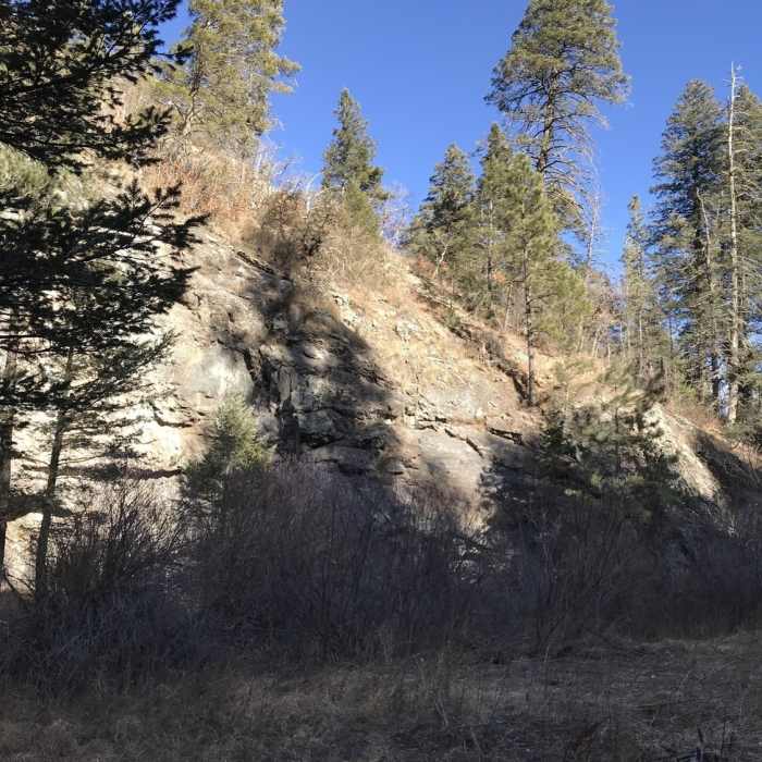
The trailhead is shared by Big Bonito and Argentina Canyon trails. Head southwest out of the parking lot to follow Big Bonito Trail #T36. The trail follows a mostly packed dirt path with the occasional root or rock outcropping. As the trail climbs the valley, it parallels Bonito Creek crossing it several times. There is a cave on the left not too far from the trailhead; we didn't explore it--there are black bear in the area!
About 1.3 miles from the trailhead, you'll reach a junction with Little Bonito Trail #T37; Little Bonito Trail #T37 heads west (right), while Big Bonito Trail #T37 turns left to head south up another drainage. The trail follows the unnamed creek uphill for about 0.5 miles before it reaches another junction, this time with Aspen Trail #T35. Stay right to continue on Big Bonito Trail #T36, which veers to the west up the drainage. The grade gradually increases, but never gets too steep, as it climbs to meet Crest Trail (#25) near White Horse Hill.
No Condition Reports
Contributors

