Near Mike's
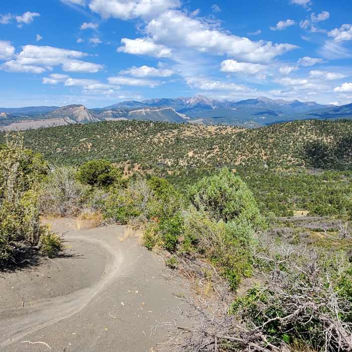
One of the nicer sections of the Rooster Trail.
Near Mike's
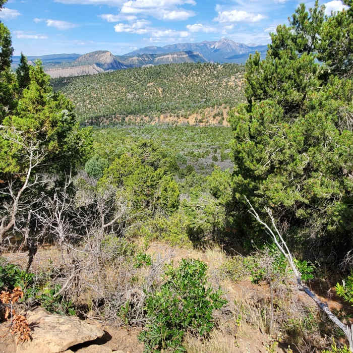
La Plata mountains in the far distance.
Near Mike's
Views of the La Platas from Mike's Trail
Near Mike's
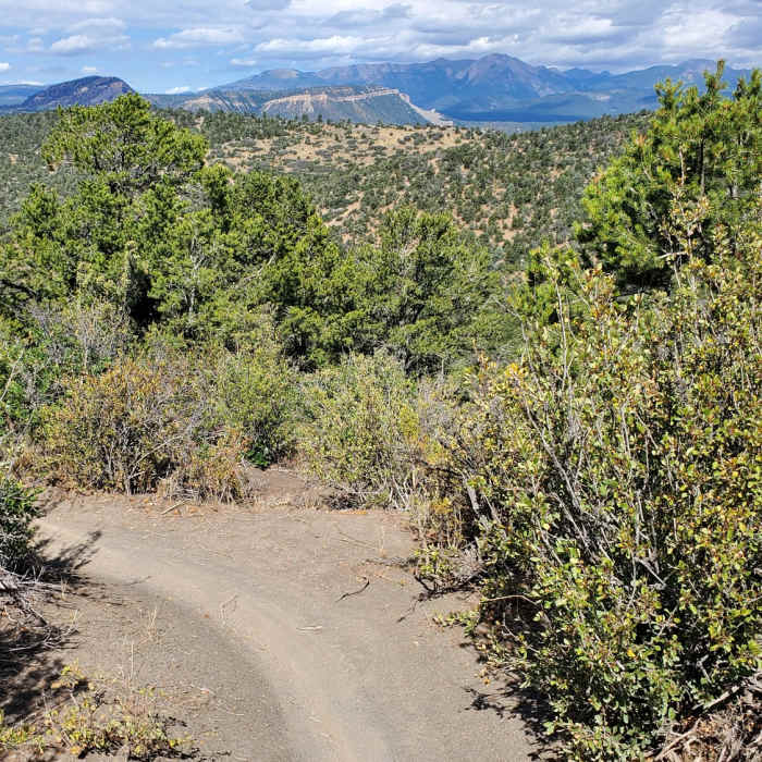
Edge of Lake Nighthorse peeking above the foothills to the south,
Near Mike's
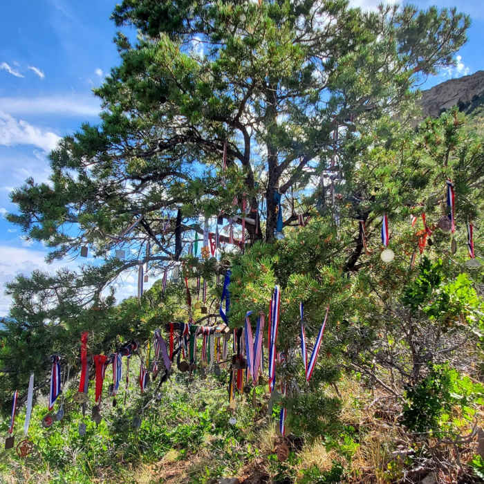
Some impressive medals hang on this tree!

Looking for more photos?

View All Photos
View Map
Driving Directions
Hike Trail

Mike's

2.0 (1 Rating)
A steep, bermy trail with ample opportunity for views.
1.2
mi
Distance
300
ft
Gain
moderate
Difficulty
Views

Route Details

Flatter
Steeper
1.18mi
Distance
300ft
Elevation Gain
171ft
Elevation Loss
25%
Max Grade
7,464ft
High Point
7,179ft
Low Point
Path Type
Point to Point
Description
At the top of Stacey's Loop there is a fork with a post. Going left follows Stacey's Loop, while going right begins the ascent of Mike's. The track can be quite steep in places. The top of the trail gives an awesome view of Horse Gulch and the La Platas. The descent isn't very rough, just mostly enjoyable. It will eventually come to a trail junction, going right takes you on Cuchillo, while going left is a direct route back to the Meadow Loop.

Route Conditions

Report Conditions
No Condition Reports
Report Conditions

Nearby Hike Routes

Smelter Mountain Trail

Classic Hike Route

Smelter Mountain Trail

Birding
strenuous
3.9 mi
+1,512 ft
Animas Mountain Loop

Classic Hike Route

Animas Mountain Loop

Birding
moderate
5.77 mi
+1,518 ft
Junction Creek Trail, Colorado Trail

Hike Route

Junction Creek Trail, Colorado Trail

Dogs Allowed
easy
1.47 mi
+318 ft
Animas Overlook Trail

Hike Route

Animas Overlook Trail

ADA Accessible
easy
0.62 mi
+87 ft
Hermosa, Clear, South Fork Creeks Loop

Hike Route

Hermosa, Clear, South Fork Creeks Loop

River/Creek
strenuous
26.69 mi
+5,154 ft
La Plata Canyon

Hike Route

La Plata Canyon

Fall Colors
strenuous
18.76 mi
+3,021 ft
Contributors
Patrick Yarbrough
