Ready to explore this trail?
View Trail Map in AppMotos and mountain bikes are allowed, so share the trail and be wary of their speed.
Path Type
Point to Point
This section of the Rainbow Trail skirts the lower eastern edge of the Sangre De Cristo Wilderness. It starts near the Hayden Creek Campground.
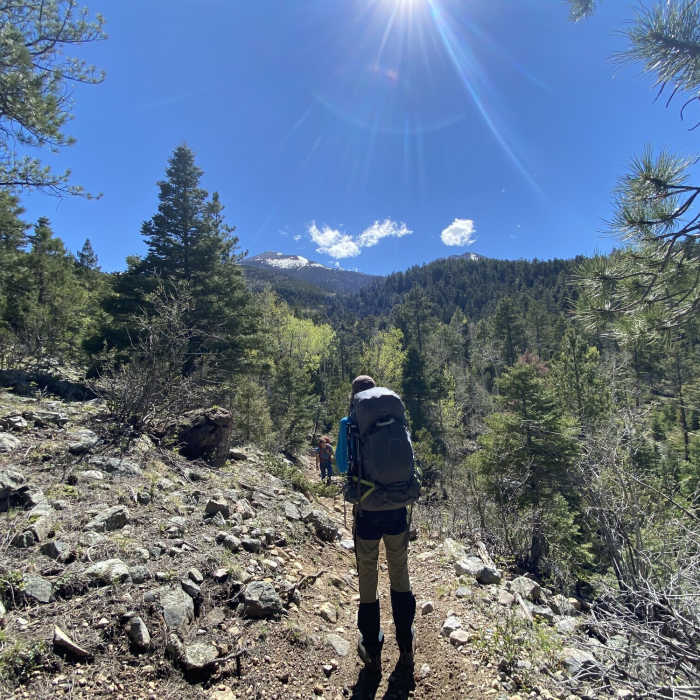
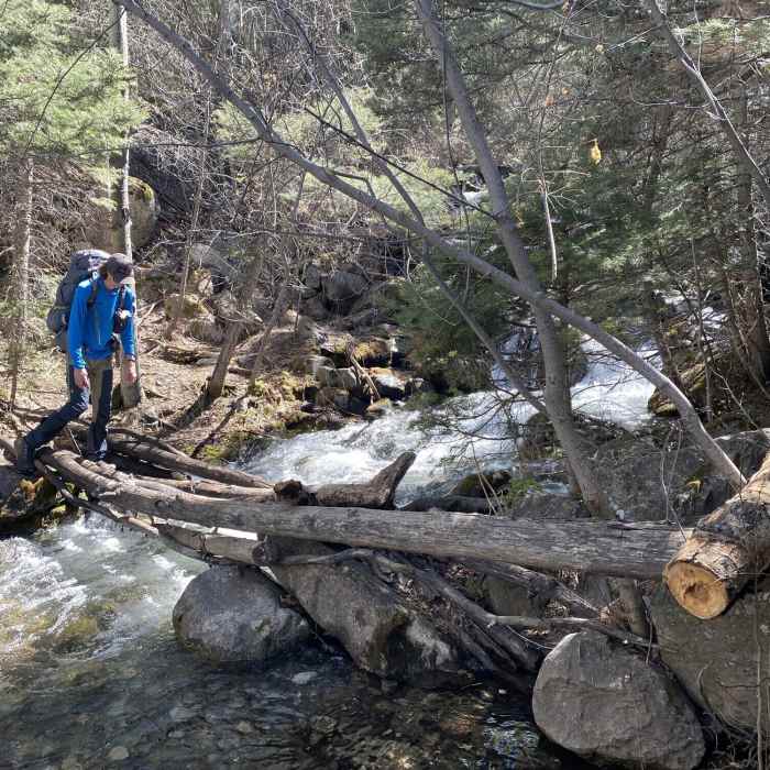
Much of the route travels through a mix of pine and aspen forest. To start, it is a bit rugged with a cobbled surface to watch your footing on. As you head west, there will be a combination of smooth and rocky tread with roots mixed in.
From Hayden Creek, the Rainbow Trail continues with a significant climb over the first couple of miles. The trail is fairly narrow and rocky. After the initial ascent, you'll enjoy a long descent with a few short climbs mixed in to give your knees a break. You'll also pass the tops of several drainages running down into the Arkansas River Valley. Every once in awhile, you can catch some views of the surrounding mountains.
The second climb is about midway through the route. It's about two miles and hugs the lower slopes of the rugged mountains to your left. Once you top out, there is a steep descent and then another short ascent to a more rolling section of the Rainbow Trail.
The final ascent before you reach Bear Creek is similar to what you've already experienced. It's a steep uphill with rocks and roots. For the most part, you'll be in a mix of aspen and pine forest.
Enjoy the quick descent into Bear Creek. From here, you can continue on with the Rainbow Trail #1336: Bear Creek to Mears Junction (Methodist Mountain Section) or turn right to find your way back to Salida along County Rd 49 and County Rd 101.
All Clear
All Clear
Looking for more condition reports?
Contributors

