
Ready to explore this trail?
View Trail Map in AppPath Type
Point to Point
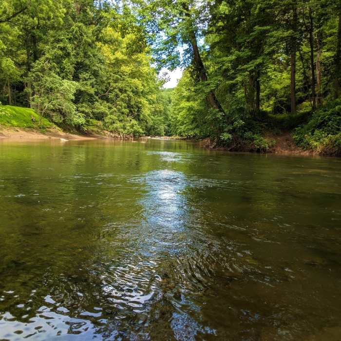
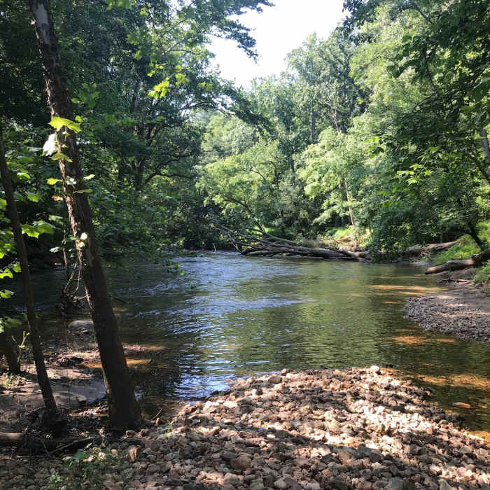
This is a short trail that, aside from several river banks, is almost entirely flat. The north end of the trail begins with crossing the North Fork of the Patapsco, a moderate-to-difficult crossing at best. Once across the trail is a straightforward path following the edge of the main branch Patapsco River along a low ridge. Before connecting to the Thru Trail, the path crosses an oxbow stream bed. While water levels for the area are low enough, this stream will dry up, making this crossing nothing more than traversing some rocks and sand, however this is not guaranteed and hikers should be prepared for a second water crossing if there has been recent rain.
Caution must always be taken while traversing this trail and crossing the Patapsco River. Never attempt a crossing during elevated water conditions. Be sure to check water levels before setting out on your hike, using resources such as the USGS water monitoring site:
https://waterwatch.usgs.gov/?m=real&r=md
https://waterwatch.usgs.gov/?m=real&r=md
No Condition Reports
Contributors

