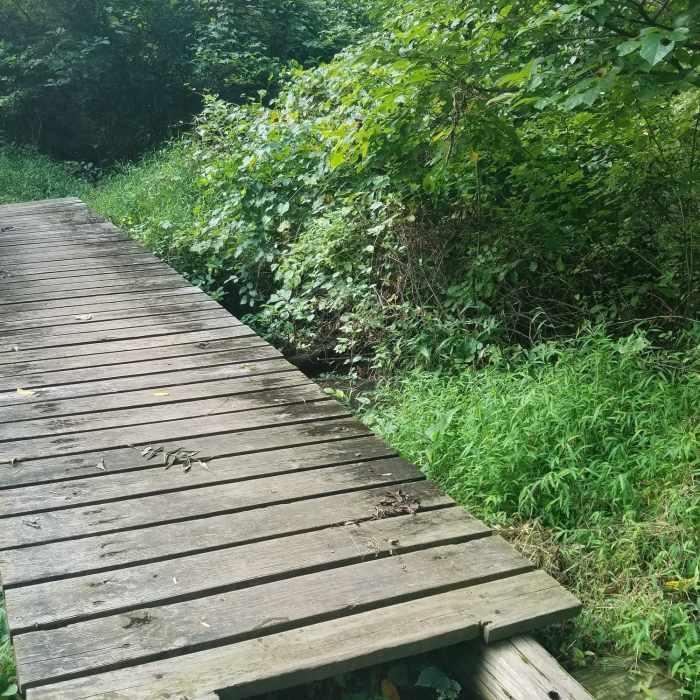
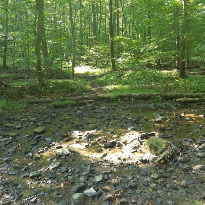
Near Dismal Run Trail
Well maintained water crossings throughout trails.
Near Dismal Run Trail
One of several small un-improved water crossings

Looking for more photos?

View All Photos
View Map
Driving Directions
Hike Trail

Dismal Run Trail

5.0 (1 Rating)
A loop trail featuring challenging hills, a shady stream valley, and historic ruins.
2
mi
Distance
217
ft
Gain
moderate
Difficulty
BirdingFall ColorsRiver/CreekSpringViewsWildflowersWildlife
Access Issues
March - October: Mon-Fri: 9-5 Sat-Sun: 9-6 November-February: Mon-Fri: 9-4 Sat-Sun: 9-5 The park is closed Thanksgiving, Christmas Eve, and Christmas Day. Admission fee required ($15 for adults).

Route Details

Flatter
Steeper
1.95mi
Distance
217ft
Elevation Gain
229ft
Elevation Loss
20%
Max Grade
366ft
High Point
170ft
Low Point
Path Type
Point to Point
Description
This trail offers steep hills, historic ruins, and a range of wildlife. Despite its name, Dismal Run is a pristine stream that runs through secluded woodlands. The hills on this trail provide a workout that offers great views across the valley. The trail also passes the intriguing ruins of a small 18th century stone cottage. From the Scenic Loop, follow small signs to the beginning of the trail. You'll have to depart on a grass trail which will lead you out of "Gate 6". From the gate, follow orange blazes along a well marked double-wide trail. Watch out for double blazes, which will indicate a turn in the trail.

Route Conditions

Report Conditions
No Condition Reports
Report Conditions

Nearby Hike Routes

Tyler Arboretum Loop

Hike Route

Tyler Arboretum Loop

Birding
moderate
5.08 mi
+528 ft
Ridley Creek SP: Yellow-White-Yellow Loop

Hike Route

Ridley Creek SP: Yellow-White-Yellow Loop

Birding
moderate
5.41 mi
+701 ft
Red Loop

Hike Route

Red Loop

Birding
moderate
1.47 mi
+139 ft
John Heinz: West Loop

Hike Route

John Heinz: West Loop

Birding
easy
3.65 mi
+0 ft
John Heinz: East Loop

Hike Route

John Heinz: East Loop

Birding
easy
3.6 mi
+0 ft
New Castle County Loop

Hike Route

New Castle County Loop

Birding
moderate
9.24 mi
+846 ft
Contributors
Ben Rosenberg
