Ready to explore this trail?
View Trail Map in AppTexas State Parks - follow rules.
Path Type
Point to Point
Used as a connector to access the "lowers", Rojo is accessed from the !Lighthouse Trailhead parking on the south and crosses the park road before you'll see the actual trail.
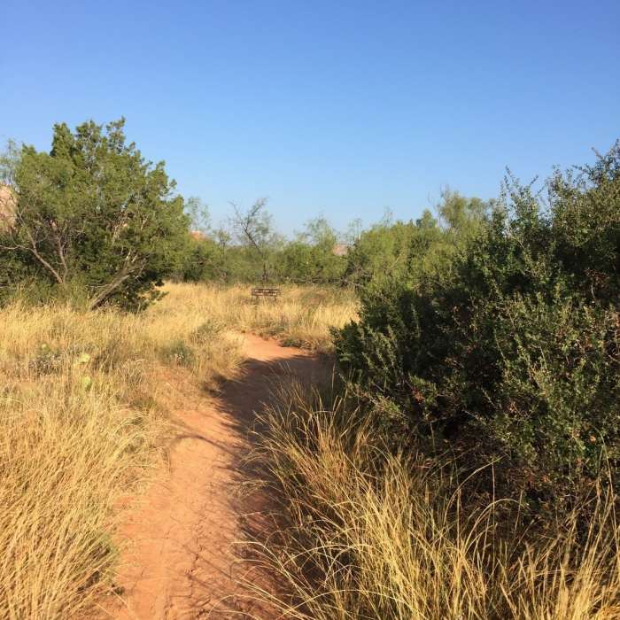
It then makes its way alongside the creek and along the walls winding through the trees. It leaves the creek area briefly to ascend and descend three draws before it ends at the Sunflower Trail where you can take it to get further into the "lowers" and access the Juniper/Creekside Trail.
Rojo is just over a mile long, but it is an integral part of the Palo Duro Trail system, and is used to make many loops, or just for a quick out-and-back. It is very popular on the weekends and holidays, so stay aware.
No Condition Reports
Contributors

